11/14/17 – Palatka to St. Augustine, FL – MC (We’re Done!)

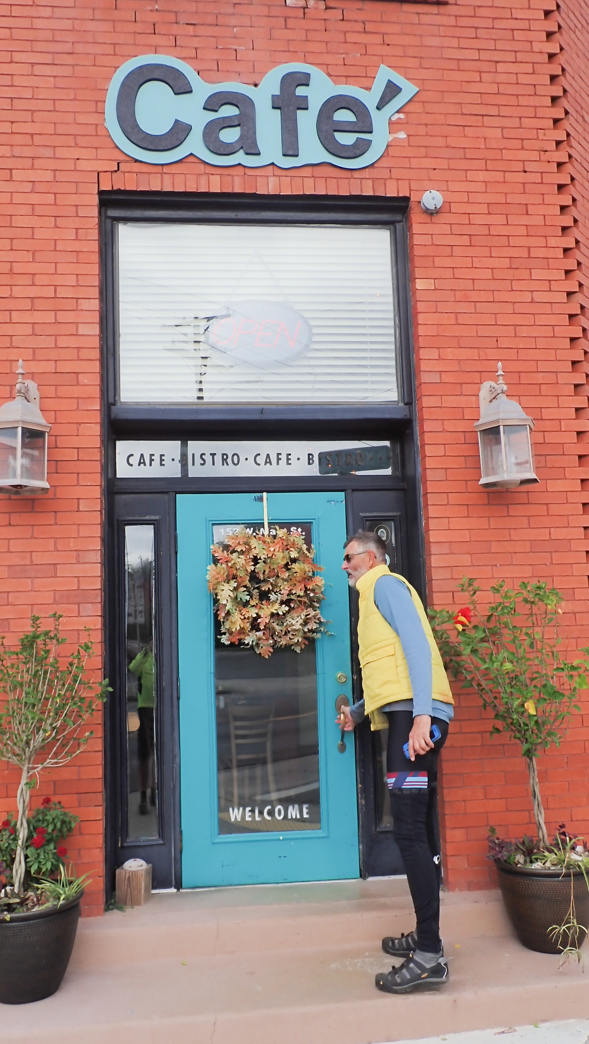
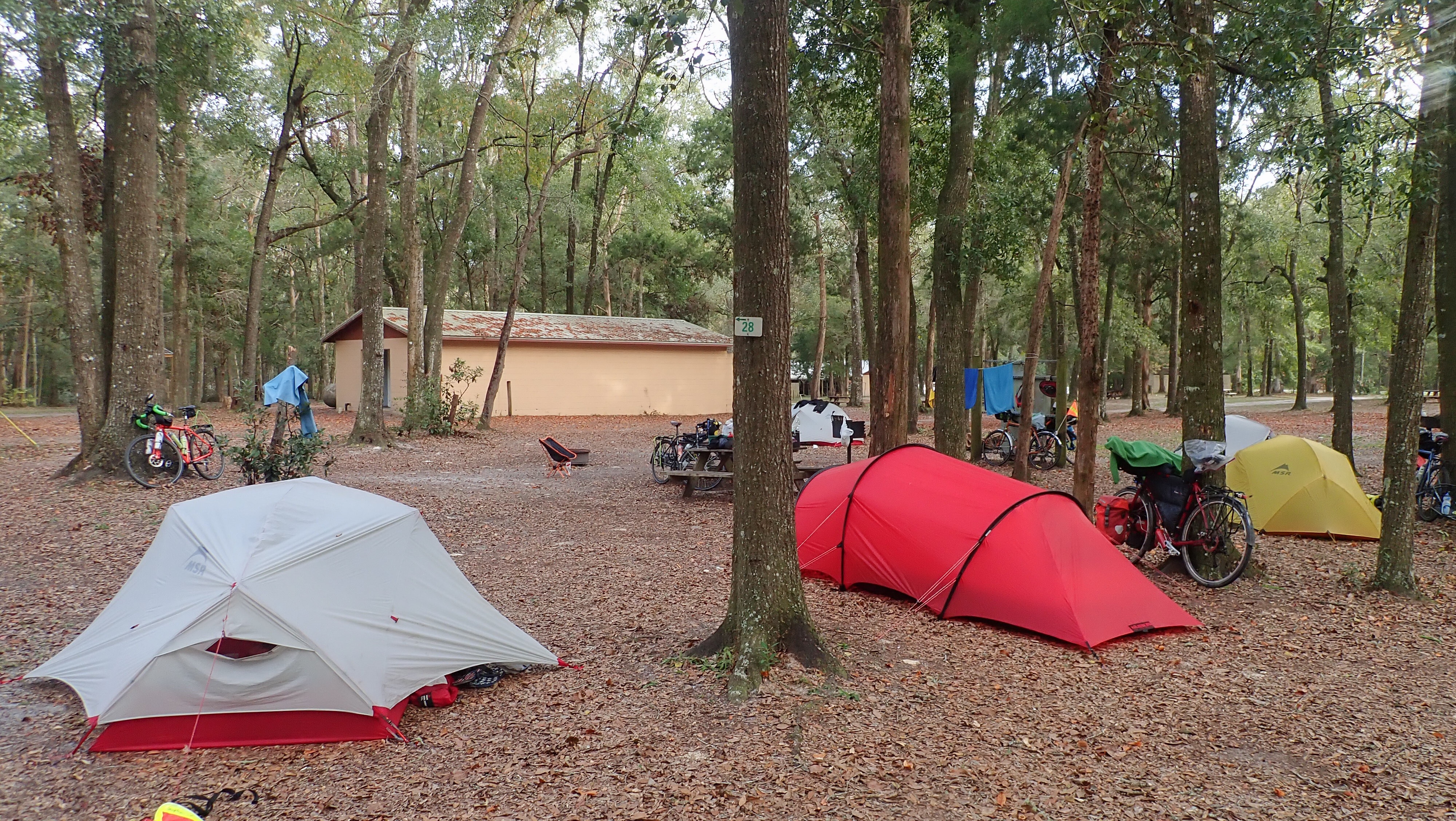
Today was the only day of the entire ride across the country that the entire group started and ended the route together. I awoke extra early to ride through downtown Palatka and see the sights I missed yesterday. Riding out on my unloaded bike, I looked for all the murals that are part of their downtown restoration project–there were many, but these were my favorites:

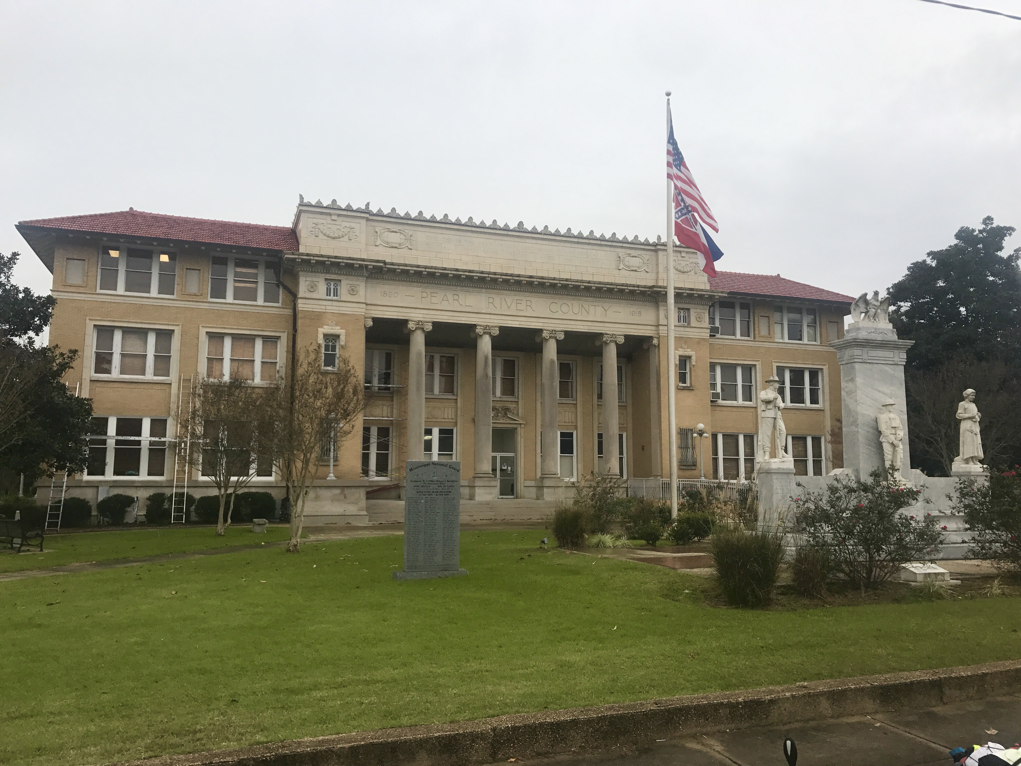
The other things that caught my eye, in this historic town, were the individual monuments on the courthouse lawn honoring the Veterans of every war.

The

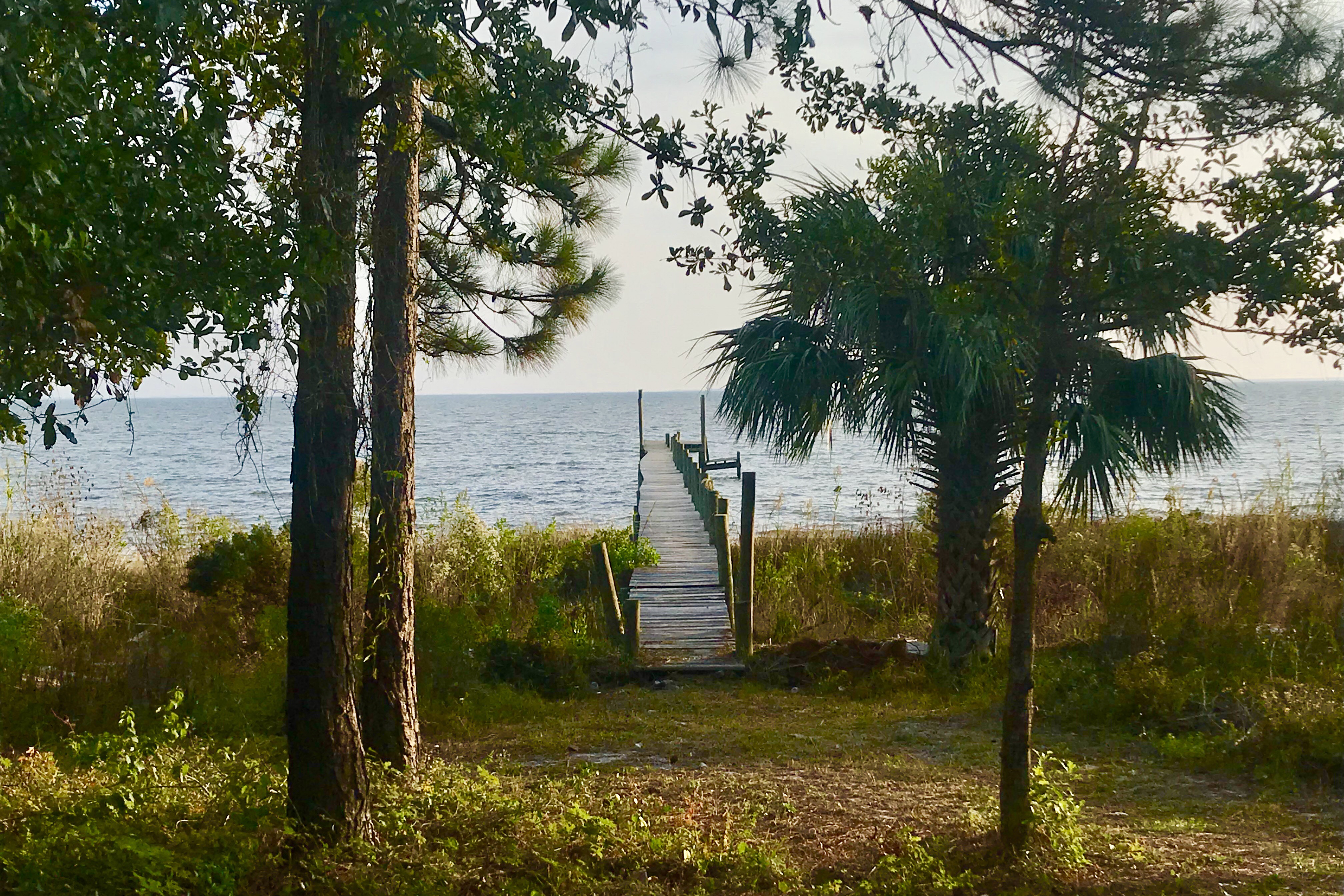
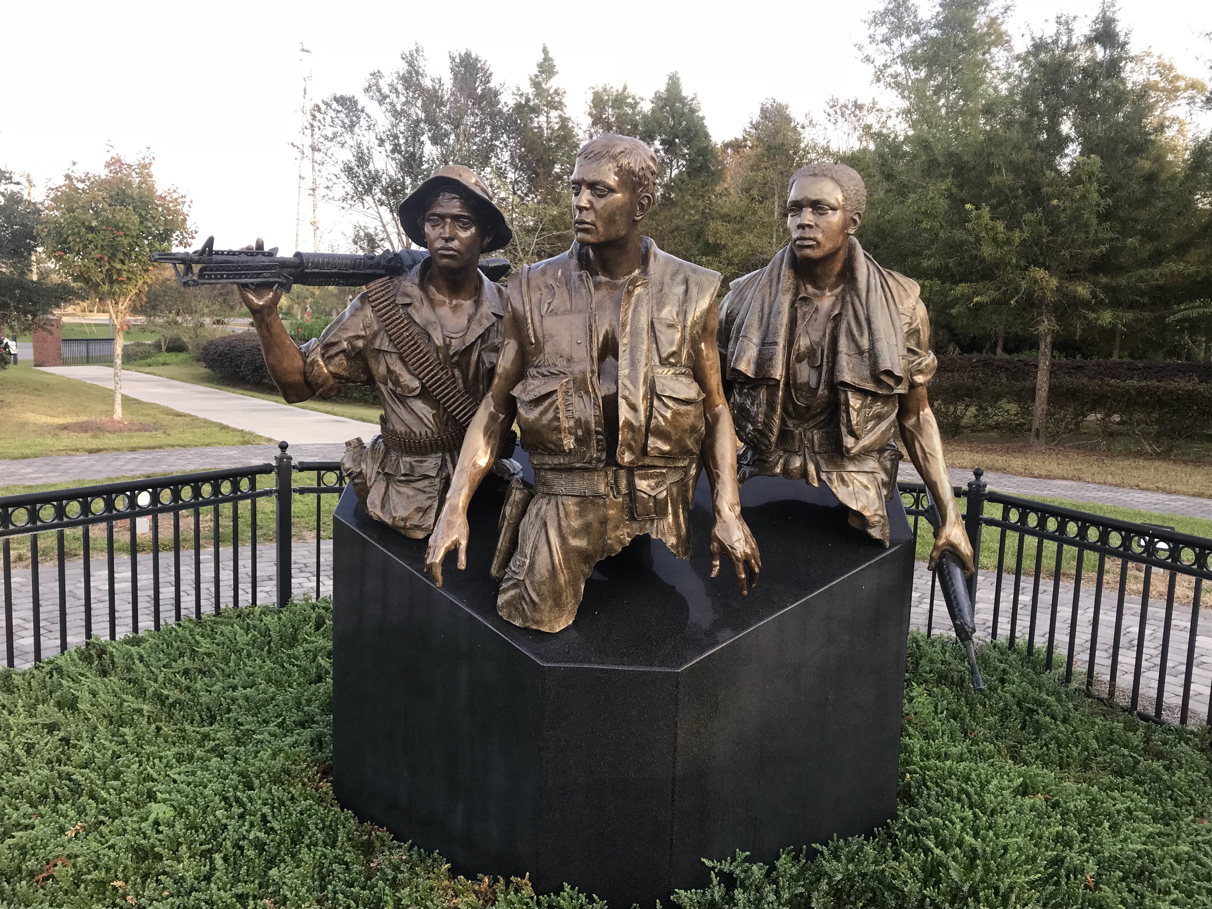
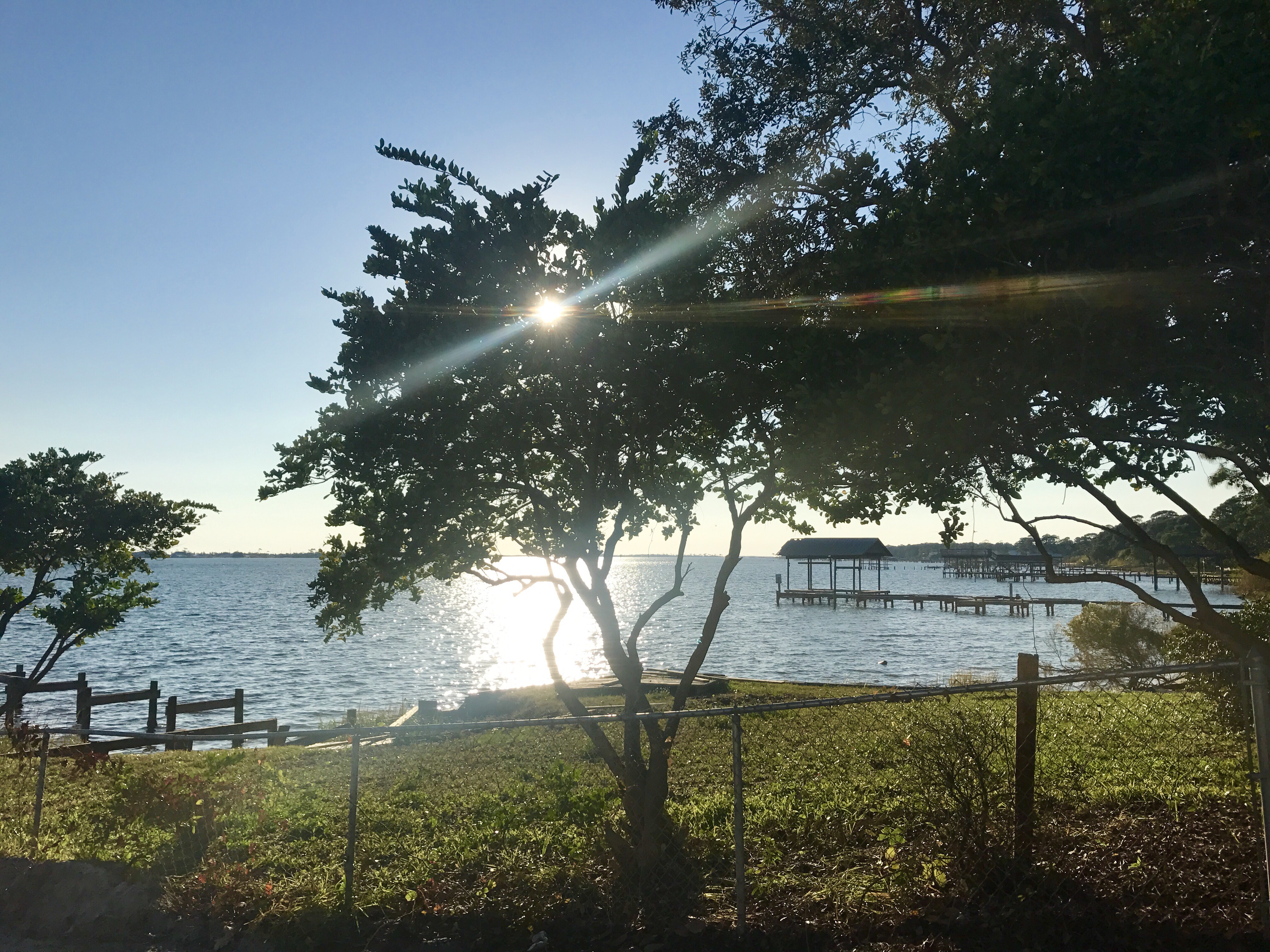
Then, at the end of Main Street was a Veterans Park, along the waterfront of the St. John’s River, and next to the park was Memorial Bridge, with 4 life sized bronze statues of World War I Servicemen standing watch on the 4 corners of the bridge. Very patriotic, and you know how I like that.

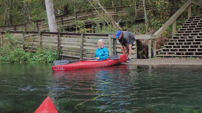
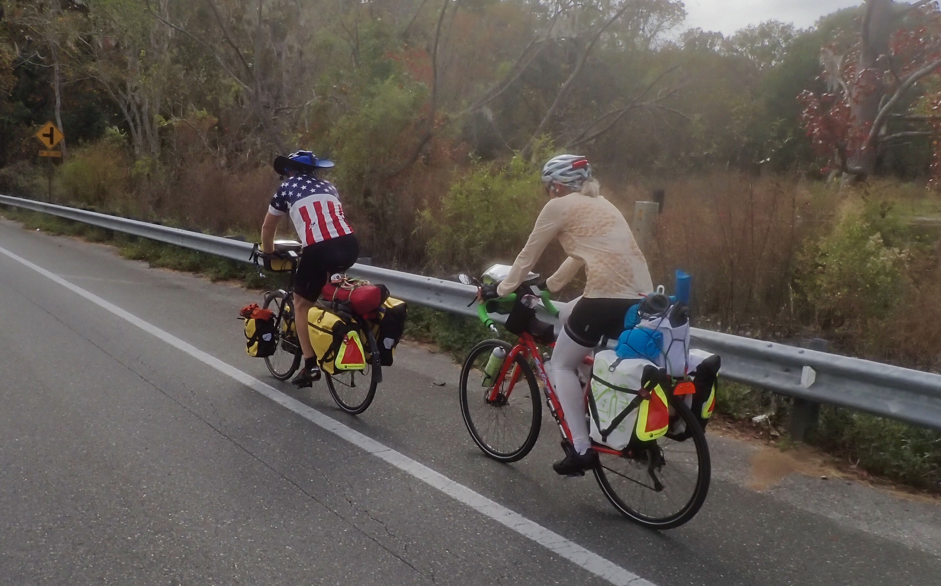
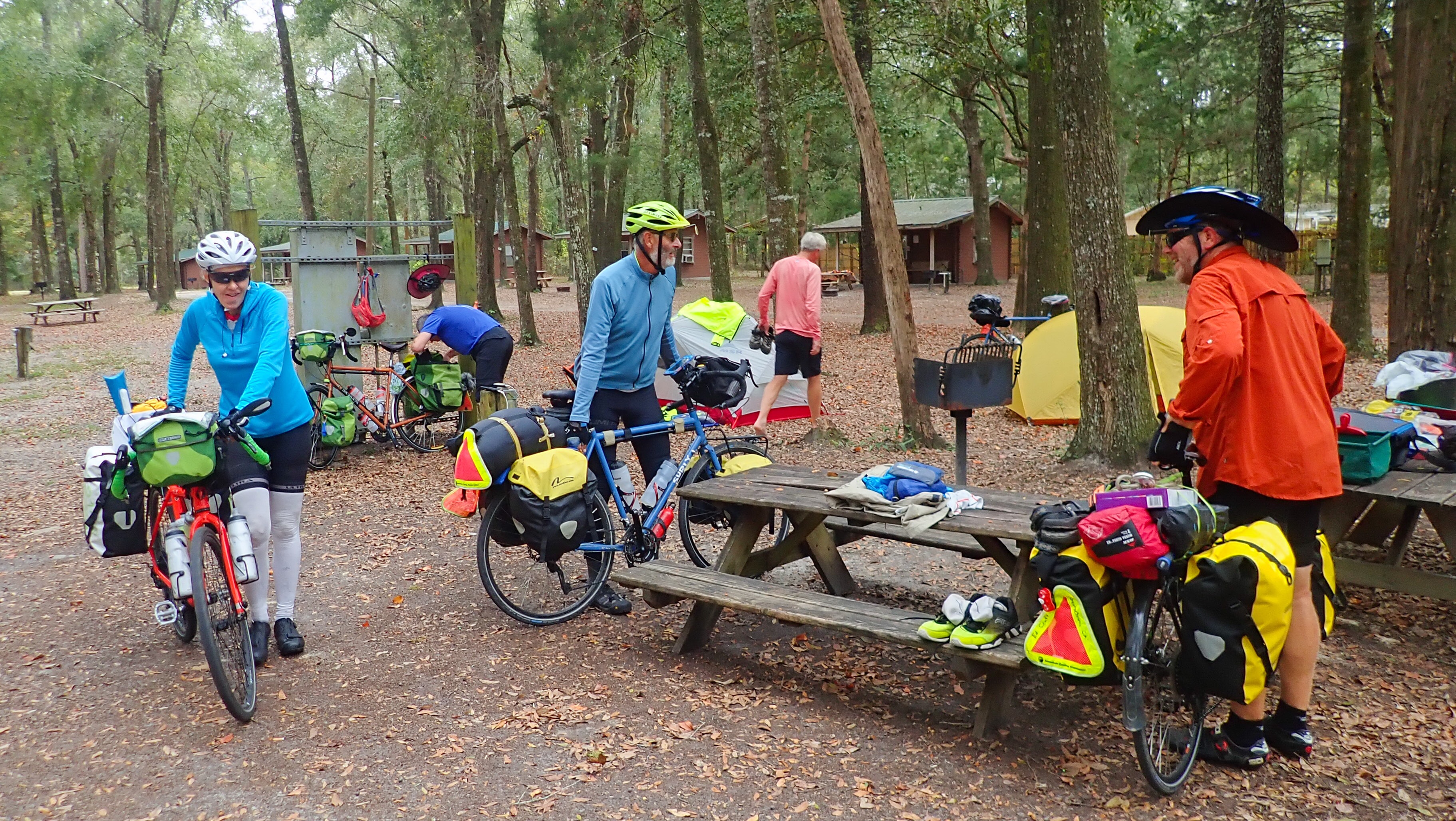
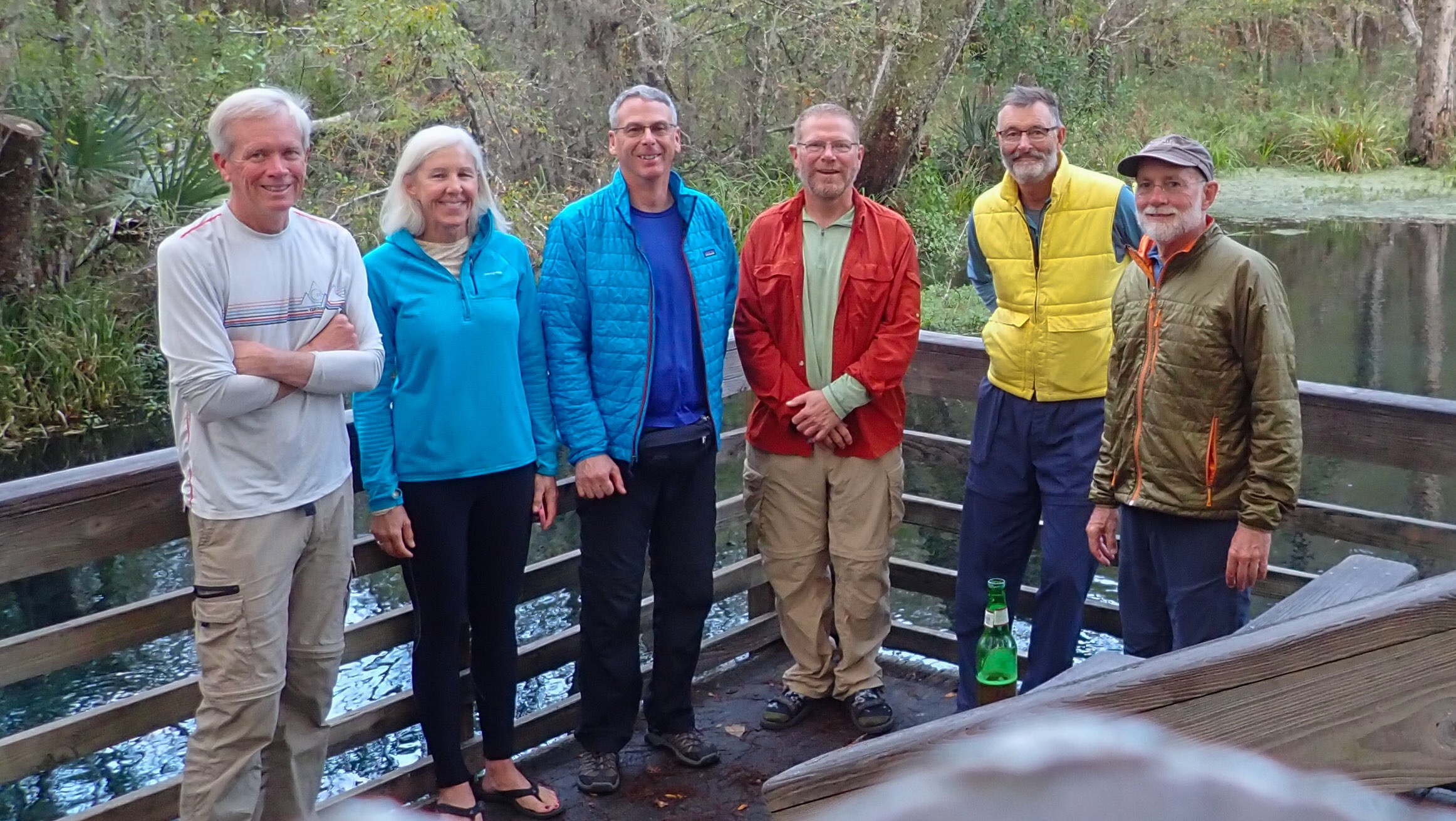
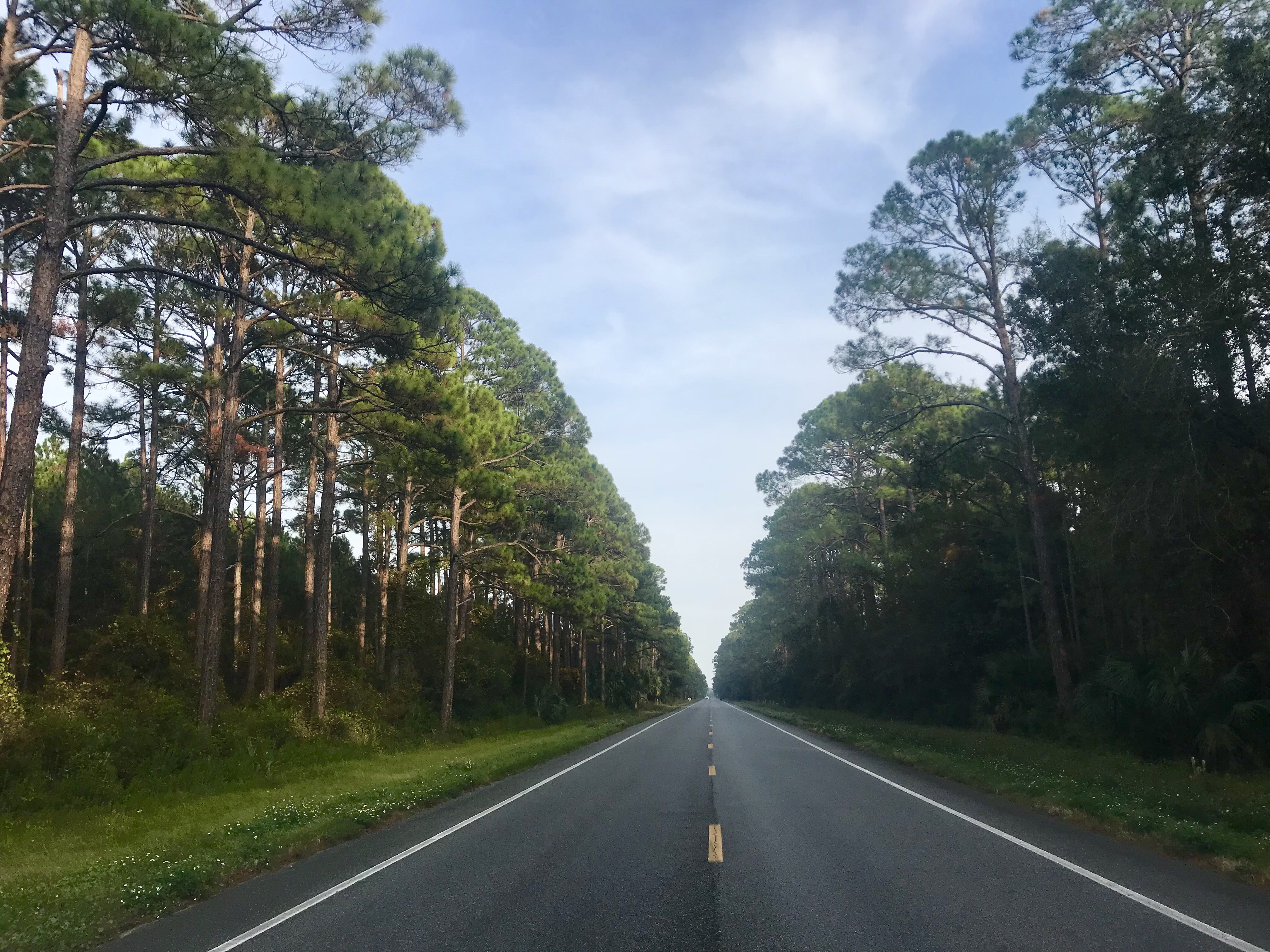
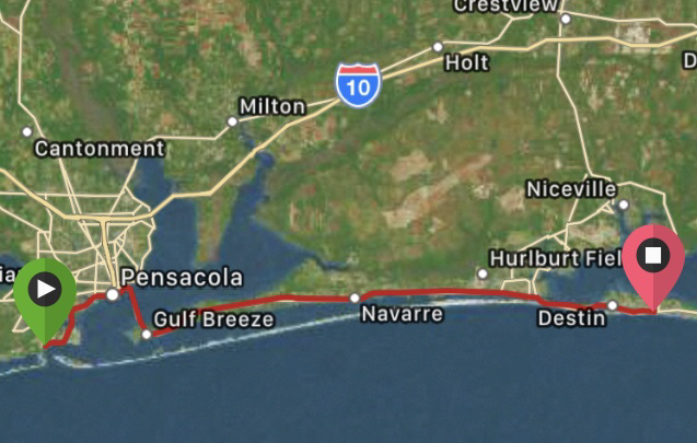
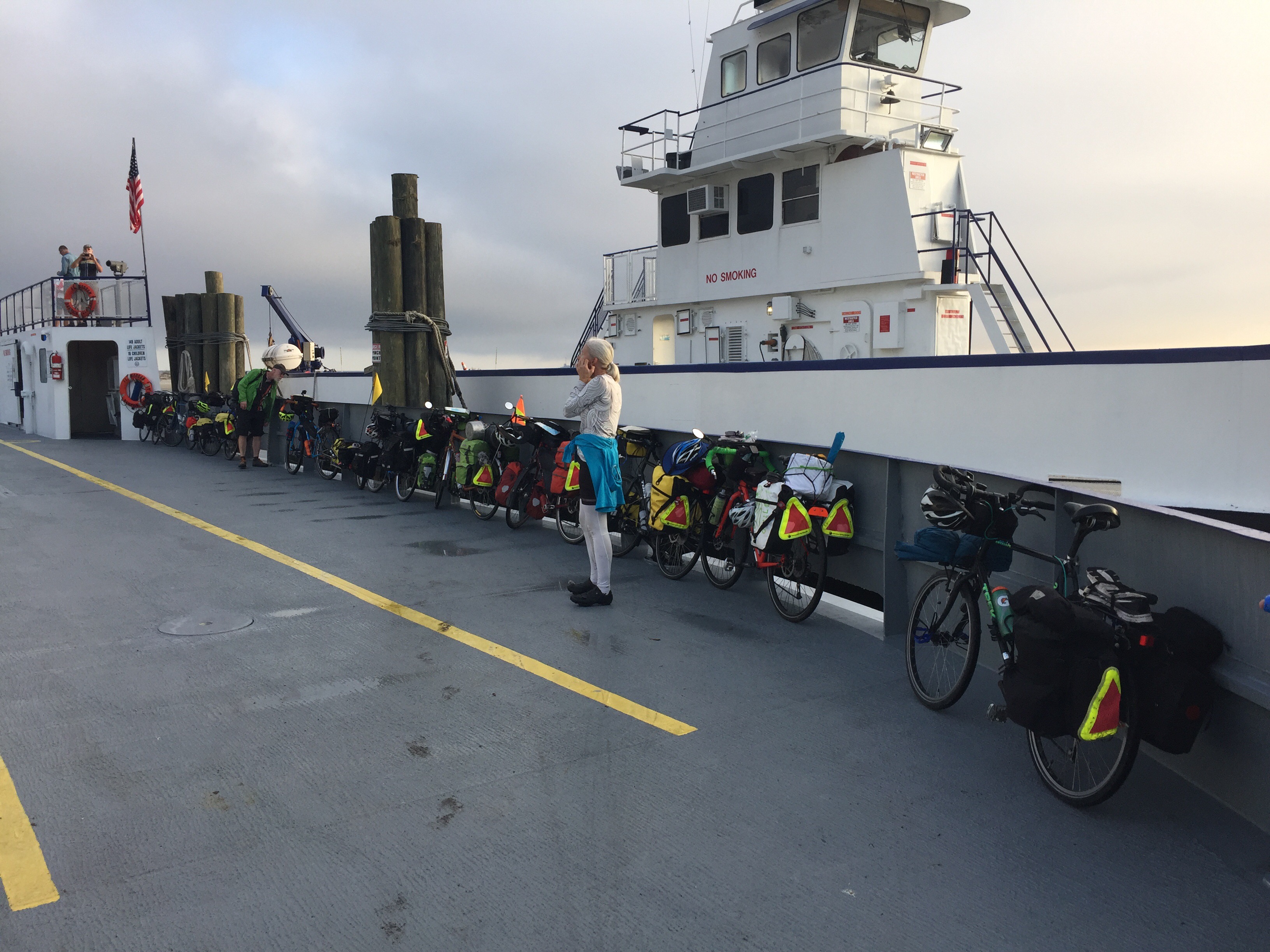
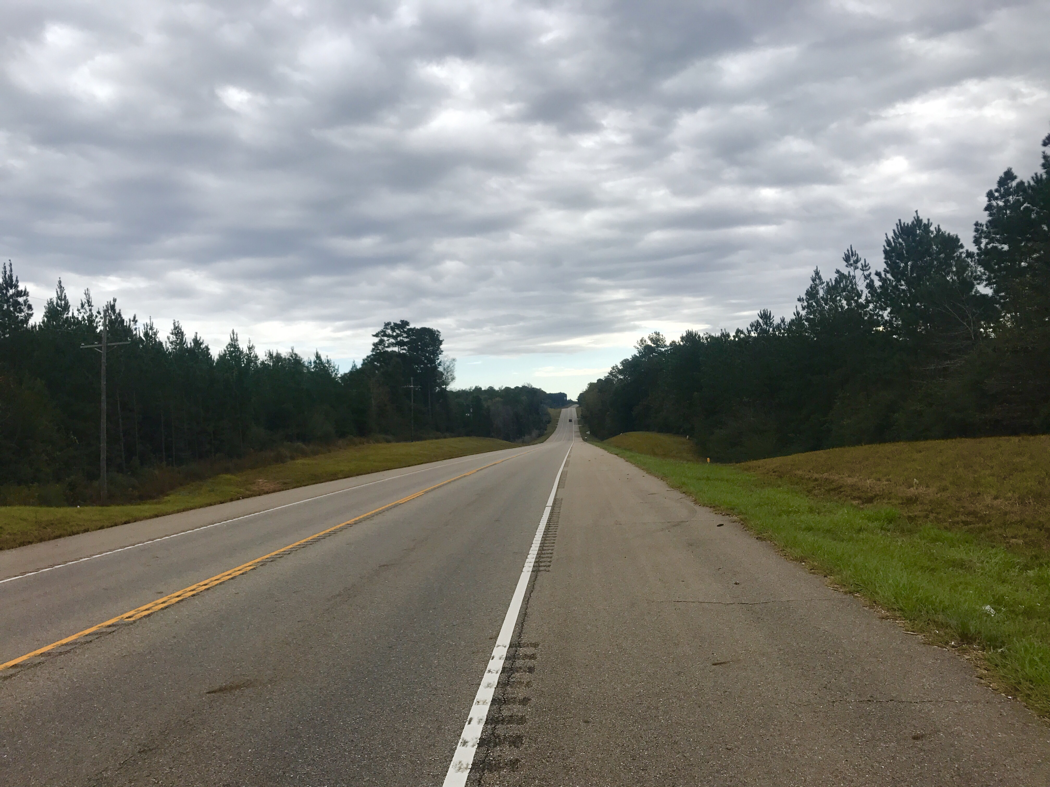
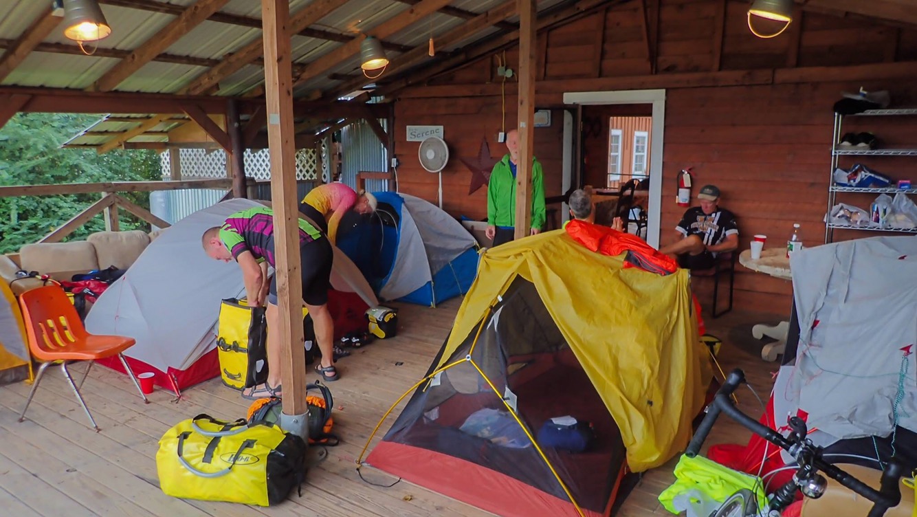
I got back to the motel by 8:20, and all the guys were already on their bikes, ready to roll. I hurried and loaded up my bike, and pretty quickly we were on the road. It was fun riding together for the first time since we began riding the first day of the tour. Early in today’s route, we cycled along a dedicated bike path for several miles, which made it possible to talk and take photos of each other, without interference from traffic.

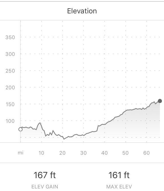
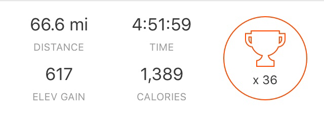
With only 33 miles to cover, before we knew it, we were in St. Augustine.

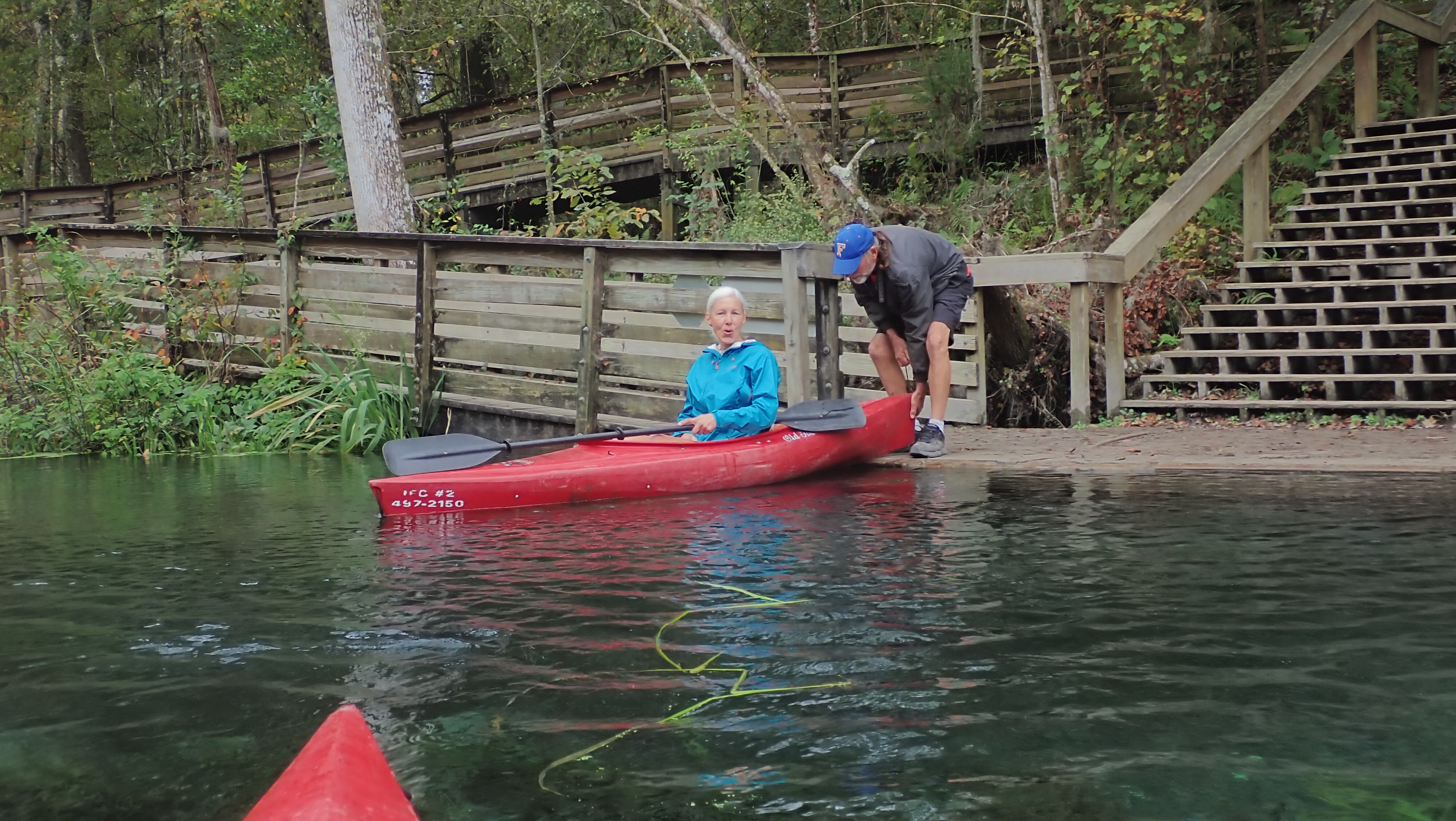
As we pulled into town, Tom R was again surprised, this time by his daughter and son-in-law, who had driven down from Harpers Ferry, West Virginia to cheer him on and be here for the finish. Wow! He has loyal family!

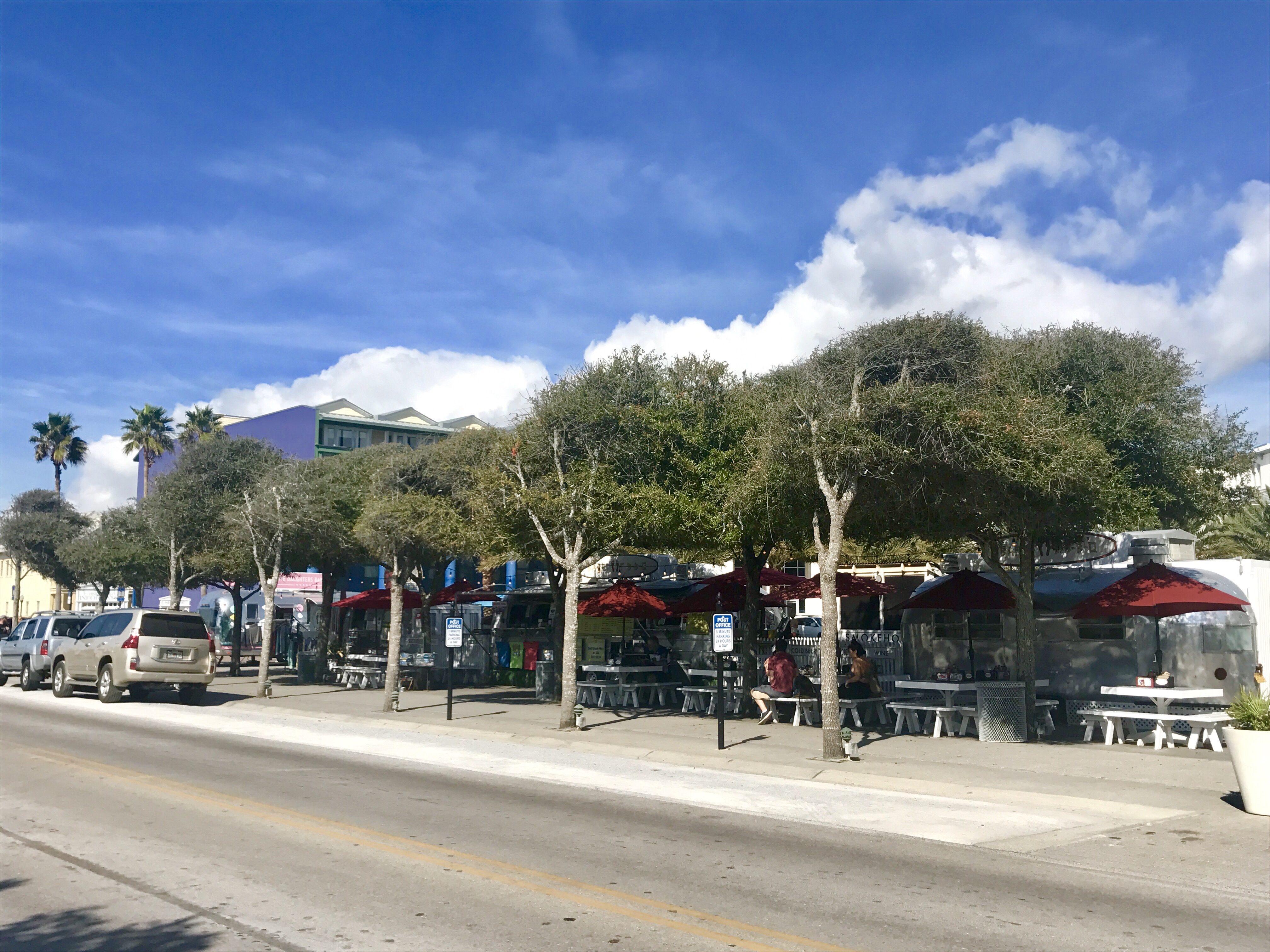
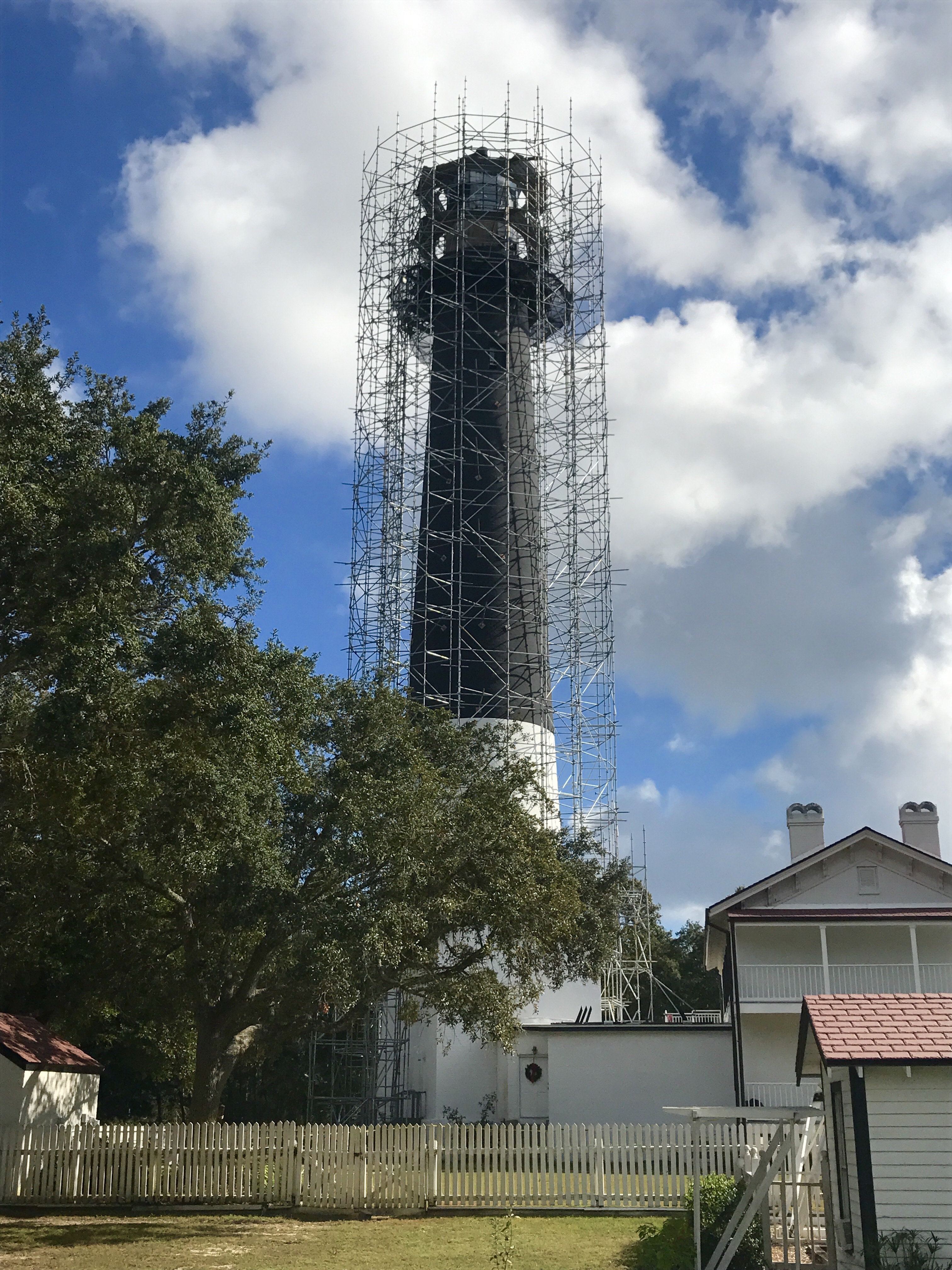
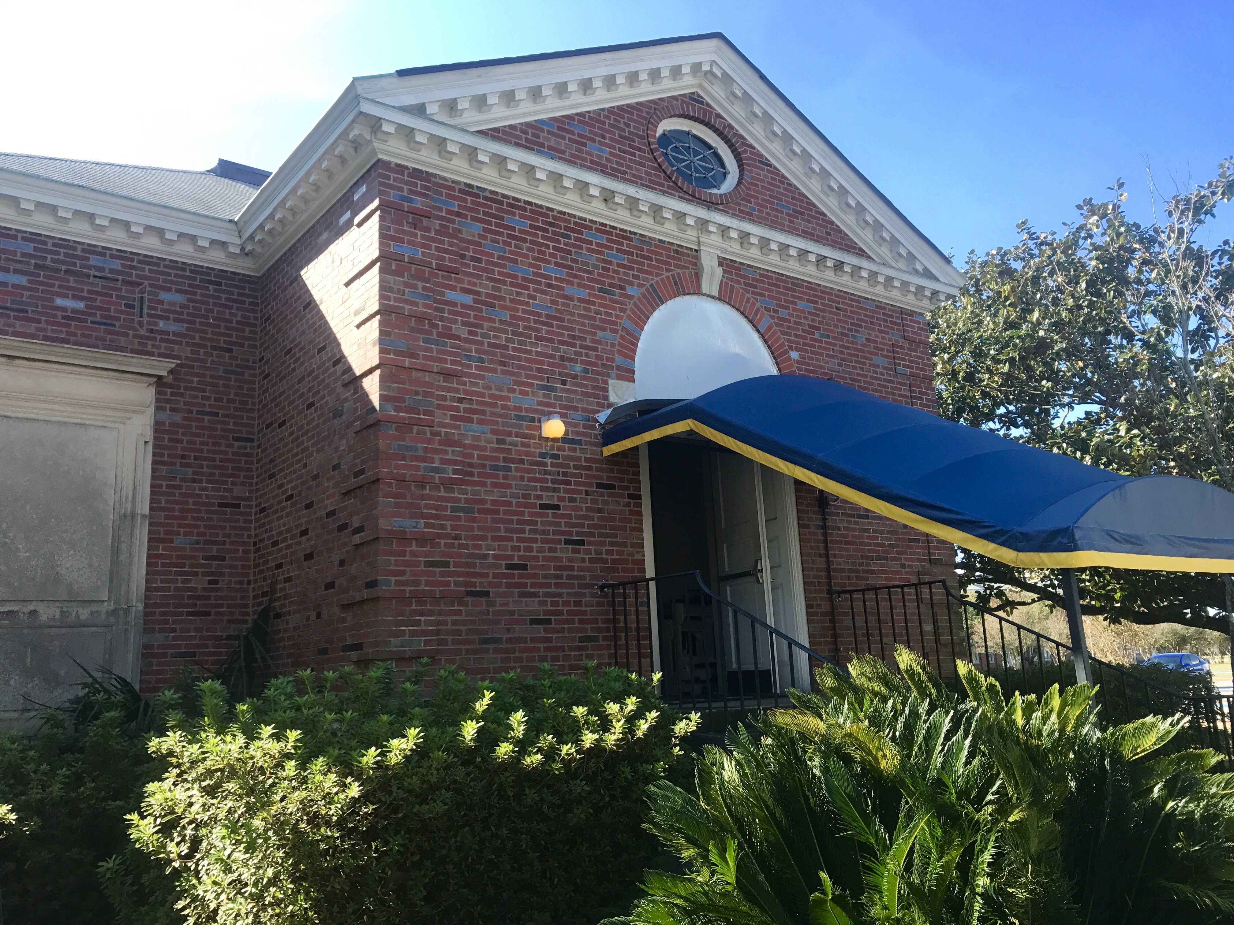
St. Augustine was founded in September 1565 by Don Pedro Menendez de Aviles of Spain and is the longest continually inhabited European-founded city in the US. As we cycled thru town, we passed historic buildings with Spanish architecture, but there was very little time to stop. We were on a mission.

Continuing on to the Mellow Mushroom, we were met by Chris’s girlfriend Linda, who drove down to Florida, and my college roommate Lez’lie, who drove up from Celebration, Florida. They and Tom R’s kids joined us for a tasty celebratory lunch.

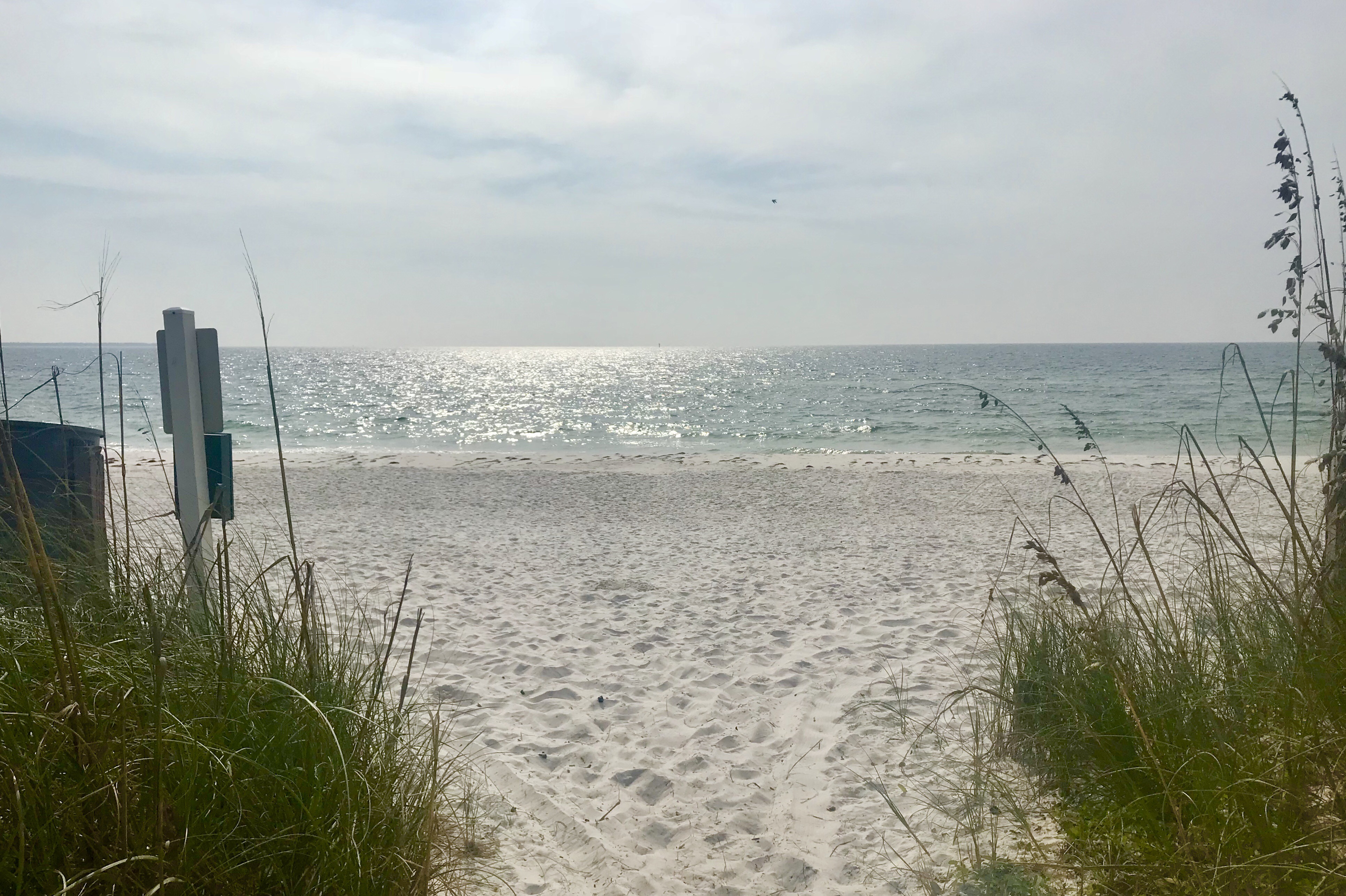
Lots of stories, memories and laughs were shared. And then we mounted our bikes for our ride to the beach and wheel dip in the Atlantic Ocean.

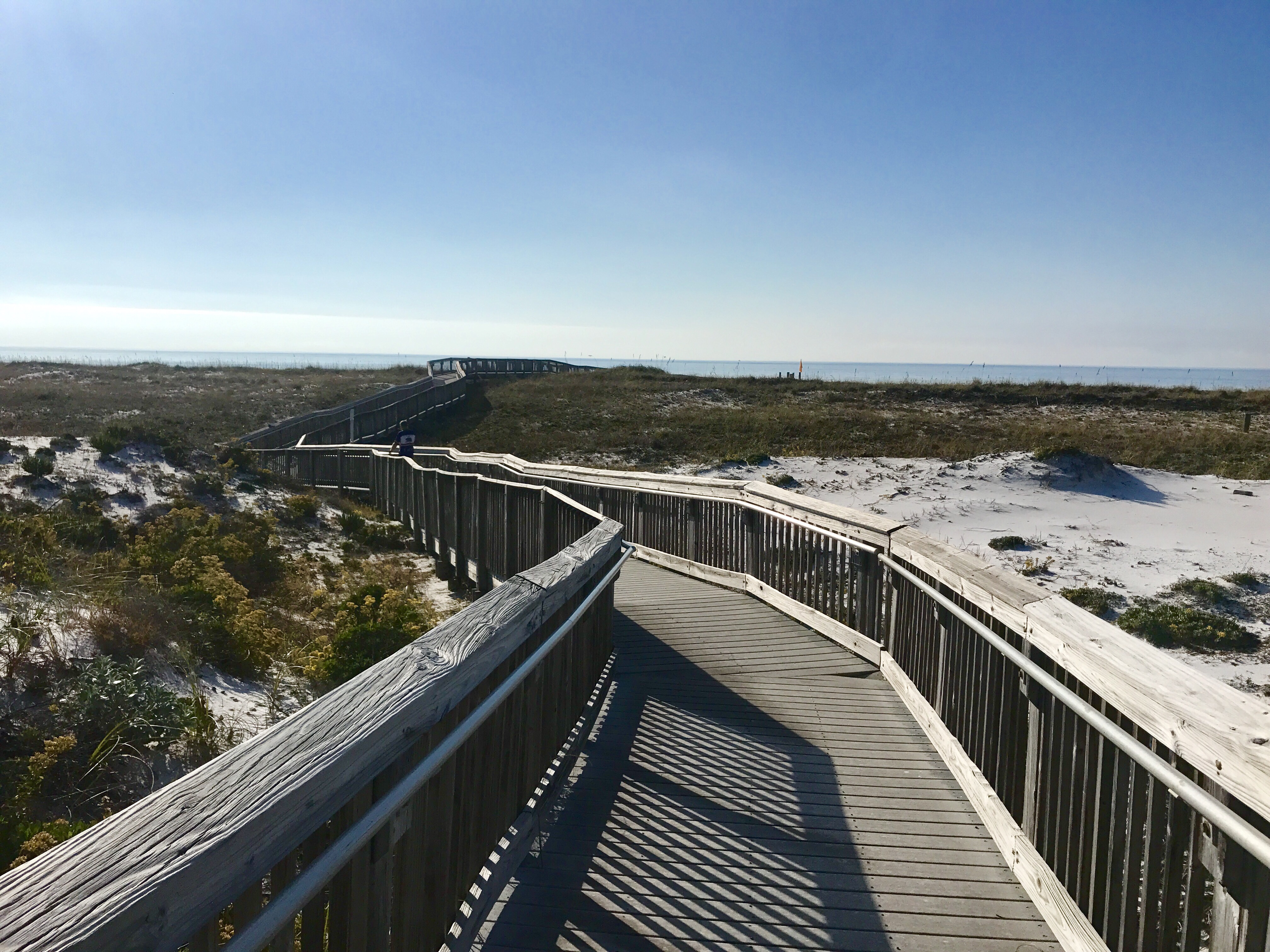
We rode a rubber boardwalk through part of the sand, but after that, we had to use all the strength we had to push our heavy bikes through deep sand and then to the water’s edge. We had 3 people taking photos of 9 stray cat cyclists, with wind and the sound of ocean water thrown into the mix. I’m not saying it was complete mayhem, but it was impossible to get everyone’s attention in any one direction at any one time for a photo with all of us looking at one camera.

But who needs a perfect photo? Nothing about the ride was perfect. This is just a bunch of mostly novice bicycle tourists who supported and encouraged each other as we found our way across the country together. None of us will ever forget the once-in-a-lifetime feelings of accomplishment we felt, as we stood together at the ocean’s edge, having just completed an epic self supported transcontinental bike journey together.

11/13/17 – Gainesville to Palatka, FL

I made the right decision when I slept in the wrap around porch, last night. It rained during the night, so the guys in tents had to tear down and put away wet tents, this morning. After enjoying a delicious breakfast mini feast, again prepared from scratch and served up by Mary and Tom, Ed, Tom R, Ken and I finished loading our bikes and were escorted out of the woods by Tom. He and Mary have built their own scenic trail that cuts through neighboring property and shortcuts the longer, sandier route we took to their house.

Our first stop for the day was Payne’s Prairie Preserve–just a mile or so from where we emerged from the Trail. What is normally a Prairie, is now a large lake, due to all the recent rainfall. The 1/2 mile long Alachua Sink, which is in the center of the Prairie and feeds the Floridian Acquifer, is overflowing, right now.

We passed through a historic railroad trestle and barn to a boardwalk that ended where the temporary lake covered the trail, looking for alligators and enjoying the serene, wilderness preserve.

It was perfect quiet, with the only sounds being birds and the rustling of animals in the grass and bush.

We spotted a well camouflaged alligator and water turtle and many varieties of birds.

And sorry, folks, but a WordPress software update has taken my ability to add a caption from my phone away. Grrrr. Those “Where’s Waldo” photos above were an alligator and a turtle. Could you see them? And the graphic telling how gender is determined in alligators grabbed my attention. Eggs laid in sunny open places produce males, and eggs laid in shaded cool places produce females.

Back to our peddling, we followed Gainesville-Hawthorne State Trail Rails to Trails path through 10 miles of forest preserve and rural land, before being dropped out into real cycling civilization again. At Hawthorne, the first town we came to, we were on the hunt for lunch.

A little diner, named for Ed’s wife, jumped out at us, and they served up one of the best little barbecue pork lunch specials I’ve ever had.

From there, we hightailed it to Palatka, with only one stop along the way. As we were riding along, I noticed a couple of people standing up ahead with signs, and mentioned to Ed that it seemed like a funny place For high school kids to be holding a car wash. And that’s because it wasn’t a car wash. A couple of Tom R’s relatives were holding the signs and cheering us on. He was completely surprised. He rides with a GPS tracking device, so his family and friends can follow his location, and these family members, who live nearby, figured out where we were and were waiting for us. Tom was in another world for the rest of the day.

Arriving early in Palatka, I finally had time to find a place to get a mani-pedi for my neglected nails, but I have priorities. I first had to try one of the famous milkshakes at Angels Diner. Eric and Erwin were already in the diner eating when we arrived. It a good to see them, after a couple of days of them being off the route. And let me just say that my Strawberry and Blueberry milkshake was delish!

On my way to the nail salon, I passed a historic train station that still operates as an Amtrak passenger depot.

Then it was back to the hotel for another uninspiring dinner at a motel restaurant. What was inspiring was the breathtaking view from my room of the St. Johns River and Memorial Bridge. The bridge has statues at its 4 corners that I will include in my post tomorrow, when I get to the other side and photograph the statues there.

Tomorrow, we finish the ride. Dinner conversation tonight was all about our memories of the places we’ve been and the people we’ve encountered along the way.

11/12/17 – Ichetucknee to Gainesville, FL 

The group split up today.  Erwin and Eric had already ridden ahead to Ginnie Springs to scuba dive in some spring fed underwater caves. Tim R, Ed and I decided to kayak down the Ichetucknee River, before riding the day’s route, and the rest of the group just did what we normally do—they rode the day’s route.  

Tom R, Ed and I got up extra early, packed our gear and loaded up our bikes, before renting kayaks and catching the shuttle to the North End Launch, we put in just past the Headwaters of the river. 


For most of our float, we had the entire 6-mile long pristine river to ourselves. 

The water was crystal-clear, glassy smooth and serene, but the current, created by the 9 named springs and who knows how many unnamed springs that feed the river (over 212 million gallons of water flow per day), was deceivingly quick. 


As we floated along, we saw various wildlife:  fish, birds, turtles and wild pigs, but thankfully no alligators or snakes.  The water temperature was 72 degrees, but the air was was chilly and the skies were overcast, so none of us were willing to swim, but it sure was tempting.  

At the end of the float, our shuttle driver loaded up the kayaks and dropped us at the campground, where we changed into our cycling clothes and hit the road. 


The riding conditions were the same as yesterday, hilly, a little overcast and a headwind, so we started our one mile riding rotation again. 
It was lunchtime when we arrived Fort White, 7 miles into our ride, and we weren’t expecting any other services on our route, so we stopped to eat at the one and only open eatery in the town—a Subway sandwich shop.  


After lunch, we went to work knocking off the miles to Gainesville. Once in town, the traffic was a little scarey and the shoulder disappeared from the road we’d been riding on, so we picked a longer safer route to get us to our final destination, the home of a couple of ACA members who enjoy hosting ACA tour groups and Warm Showers cyclists.  

Tom and Mary, our amazing hosts, have a beautiful home in a secluded area near Florida State University.  They posted signs along the route to guide us from where Google Maps dumped us off to their home, which is in a large wooded area.  When we arrived, there was vast space for us to either set up our tents in their yard or cowboy camp on their wrap around screened porch.  And which of those do you think I did?  Cowboy camped, of course.  

They guided us to refreshing beverages, hors d’oeuvres, clean towels, warm showers and their laundry room.  After entertaining us with stories of many of their world-wide cycling adventures, we sat down for dinner, and this is where Martha made our day. She laid out a spread of super healthy hot food that was to die for—more vegetables than we have eaten in weeks, all in one meal. 


Then came the dinner time entertainment—-their cat. Tom has trained him to jump through a hoop, sit and roll over. It’s possible that Tom has too much free time on his hands, now that he’s retired.  

Our hosts had wood stacked up for a campfire, but this group is dominated by early-to-bed folks, so we didn’t get to take them up on that plan.  We turned in early.  While I laid in my sleeping bag and thought back on Tom and Mary’s hospitality and generosity, I was once again amazed.  I need to be better. I need to do better.  

Counting down, we only have 2 more days to go. 

11/11/17 – Perry to Ichetucknee, FL

Today was a great day for the team, because it was one of the few days there actually was a team. The weather drove 4 of us together. It was cold, overcast, and there was a 15-20 mph headwind all day long.  Ed and I planned to ride together. Tom R lost his riding partner, yesterday, when Joe left the group, so I asked him to join us, and he did. And then, once we caught up to Neal, about 9 miles into the ride, we asked him if he would like to join us too, and he did.  Initially, it was all about survival, but later it was just plain fun riding together. 


So the 4 of us rode together and took turns breaking the wind for a mile at a time, and by doing that, we only had to be beat up by the wind one mile out of 4, and the miles flew by.  Those windy miles would have otherwise been painful, let me tell you. At the end of the day, we smacked hands and announced in unison, “Best day of the ride”.   

    The ride took us past the local prison and into a town named Mayo, where we stopped at a convenience market for a snack. I can’t remember what I had for my official snack, but my unofficial snack was boiled peanuts. They have been for sale in the markets and roadside stands since Alabama, and I hadn’t tried them yet, so today was the day.  


    I asked the ladies at the counter how much it would cost me to sample the boiled peanuts, and they were so excited I wanted to try them, this was a freebie. One came over to train me on how you open the shell and squeeze the nut out, and she made sure I tried both the regular and Cajun peanuts. If you’re wondering what they tasted like, think salty pinto bean. They had the same consistency too. 

    About 5 miles later, we arrived at the city center of Mayo, and it was much more of a town than we previously thought.  I pulled over, because the only Veterans Day festivity we were going to see, today, was going on in front of the Lafayette County courthouse.  


    The “festivities” consisted of 3 Veterans, standing in front of the monument that is in front of the courthouse with some silk flowers, talking to other Veterans and people who stopped by between 8 and 11 AM.  As one who participates in and sometimes speaks at Veterans Day festivities, every year, it sure made me appreciate all the effort that goes into the Phoenix Veterans Day Parade and the various events held by other cities and in cemeteries around the Phoenix area.  

    While I was stopped at the Veterans Day “gathering”, I’ll call it, the 3 guys noticed 4 bikes we had passed just prior to the courthouse. They were parked in front of the Great Southern Biscuit Company.  We had to stop—again.  


    We had our second breakfast, and it was amazing.  When the waitress asked if she could bring us anything else, I told her to bring me the chef, so I could ask him how he made the eggs so fluffy and light.  He really knew how to cook!  

    Back on the road, we passed more interesting Mayo stuff. 

    So this is where mayonnaise comes from?
    And what exactly is this contraption?
     

    A few hours later, when we arrived Branford, we were so wasted from fighting the headwinds, we stopped at yet another convenience store for an afternoon snack.  At this point, any excuse to stop would do.

    Prettiest motorcycle I’ve ever seen, and I’m not even into motorcycles.
    Typical redneck business proudly flying a confederate flag.
     

    Finally, we arrived at Ichetucknee Family Canoe and Cabins.  

    After setting up our tents, showering and winding down a bit, I went to the campground office to inquire about the state park across the street.  The lady at the counter told me about beautiful springs, perfectly clear 72 degree water, and a boardwalk that was within a 1/4 mile walk. Say no more. She had my attention.  I walked back and got the guys to walk over to Itchetucknee Springs State Park with me. 

    Tom C, Eileen, Chris, Wd, Neal, Tom R

    Wow!  We could not believe how beautiful the springs and pools of water at the Blue Hole and Headwaters were.  Tom C asked why we hadn’t gone over there a couple of hours earlier.  (Answer:  Because we were exhausted from a long hard ride.)  

    While we were at the park, we received a meaaage from Ken that our dinner had arrived the campground. A local chef brought us barbecued chicken and ribs, red beans and rice, and veggies. Neal and I raced over to the campground store for dessert, and due to no WiFi, we all turned in early.  You know, there’s something really nice about going to bed early. 

    Counting down, we only have 3 more days to go. 

    11/10/17 – Sopchoppy to Perry, FL

    I don’t know what to say about today.  I woke up early, packed up my tent and gear, and waited for Ed to finish packing and loading his bike—a first for me.  Yep. I’m upping my game, as we count down the last 5 days to the finish line.  Ed and I rode together all day, and somehow, I was able to keep up with him. 

    The entire group was pedal to the metal, today, to cover our longest remaining daily distance—66 miles—while battling 15 – 20 mph headwinds. We cycled over mostly level and straight roads that passed through civilization only once, early in the day. 

    And did we stop at the convenience store in that little patch of civilization?  You don’t even have to ask. Of course we did.  Tom C and Erwin had already scoped it out and messaged us with news of fresh donuts.  But these weren’t just ordinary donuts. They were maple frosted donuts with bacon on them—something else I had never tried before.  Hmm hmm hmm.  They were delicious!  I was so busy devouring 2 of them, that I forgot to snap a photo of them, and they were truly photo worthy. 
    After buying an extra bottle of Gatorade to hold me over, in case I downed all 4 of my 23 oz water bottles, we were back on the road.  The scenery was the same tall trees we have been seeing the last few days, when we haven’t been riding next to beaches, interspersed with river and swamp crossings.  

    We had another hard choice to make today. Ended up going straight.
    I need to do something relaxing like this when I get home.

    Before lunch, we started taking turns drafting  off of each other for 2 miles at a time, and it made the rest of the day fly by. 

    A potential recruit to fill in for Joe or Rich.

    As we set up our tents at the Perry KOA, I asked around to see if anyone had taken photos of things I had seen.  We all had the same photos, even though we didn’t ride together. 


    Tomorrow will be a 60 mile day, followed by 3 shorter days that will take us into St. Augustine and to the Atlantic Ocean. 

    11/9/17 – Apalachicola, to Sopchoppy, FL

    Today was a short day that took forever.  Once again, I got a late start, due to the “B” word. I went back for one more look at the Vietnam Memorial sculpture, and a chain gang was at work on the landscaping of the park.  Their prison guard headed over to guard my bike, I’m thinking to prevent one of them from jumping on it and escaping.  


    Riding by the bike shop, again, I stopped to enjoy more of the bike art before riding through the little downtown area and heading for the Apalachicola Bay Bridge.  


    The sky was overcast and a little hazy, but there were still amazing views of the islands next to the 4.1 mile long bridge and further out in the Gulf. 


    In the last mile of the bridge, I noticed a cell phone lying face down on the shoulder and circled back to pick it up. When I reached Eastpoint, the town at the end of the bridge, I stopped to figure out how to get a hold of the owner of the phone—a Samsung Galaxy, which is a brand I am completely unfamiliar with.  I was able to pull up favorites, in the list of contacts, and dialed one of them.  Mystery solved.  The uncle of the owner of the phone answered my call and told me his nephew works on a fishing boat and stops by his uncle’s store every day on his way home from work.  


    He gave me directions to his store, and called ahead to tell his employees to give me a sandwich, drink and some chips when I came in with the phone.  Darn it.  I had just filled my water bottles and wasn’t hungry, but it was a really nice gesture.  

    Back on the route, it was cold and there was a little bit of a headwind as I rode 33 miles along a coastline that cut thru a few little fishing and tourist towns. I had wasted so much time during the morning, I didn’t really have time to stop for lunch. 


    In the afternoon, the wind picked up even more, it got even colder and then it sprinkled rain for a little over an hour.  I passed up a stop at a World War II Museum, because I was worried about the weather getting worse.  I did stop to snap a few photos along the way, though.  

    This is the third bear sign I’ve seen. Does it mean bear crossing? Or danger—bears?
    No explanation on what beaches all these boats.
    Oysters are big business in these parts. These are oyster shells.
    This does not sound like a fun place to visit.

    The road turned inland for the last 10 miles, and when I came to this sign, I have to tell you that I had a dilemma. Our campground was in Sopchoppy, but I could really go for a Panacea, right now. Aargh. I went the direction of Sopchoppy. 


    I arrived camp to the news that we have lost another rider from our group.  Joe, the oldest guy on the tour and one of the 2 strongest cyclists, has decided to leave the group and finish the last 265 miles on his own. All of us are aware of some aggravating factors that could have influenced him. We will miss his kindness, jovial attitude, sense of humor, appreciation for all sunrises and sunsets, and great stories and photos.  


    And then there were 9. 


    11/8/17 – Panama City to Apalachicola, FL 

    Sleep and keeping up with the blog are competing for this girl’s time, lately. I sit down after dinner to sort through photos, but start dozing off before the blogging even begins. So today, I had to catch up before leaving our cheap motel, which meant a late start on a 60 mile day. 

    Just outside of Panama City were miles and miles of Tyndall Air Force Base. There were signs and buildings for various military organizations and functions on both sides of the road, but my favorites were these. 


    Do you even need the words “Keep Out” on that “Explosive Disposal Range” sign?  And I actually saw the drones before I saw the drone sign and pulled over to take a photo through the chain links fence (no signs were posted prohibiting it).  


    They are BQM-167 Skeeters, aerial target drones that are land-launched  from a rail system, using a rocket assisted takeoff, and recovered on land or sea using a parachute system. Pretty wild, eh? 

    I was standing there looking at 3 of the Air Force’s inventory of 37, when a loud jet engine sound started to ramp up from a hanger about 75 feet behind the closest drone in my photo. When it got really loud, there was a loud blast that instantly produced a bunch of smoke, and bam!  A drone blasted out of the smoke.  What are the chances of a person from Phoenix, Arizona stopping at a random facility on an obscure rural road at the exact moment a drone is launched by a rocket?  
    That stop wasn’t even on my radar for the day. My real objective was a swim and some lounging on Beacon Hill Beach, a stretch of pristine white sand with temperate ocean water in the town of Mexico Beach.  Like yestersay, there were no people on the beach, so changing into my swimsuit was possible by crouching down and ducking behind my bike.  Little did I know that just a few blocks down the road was a changing facility with a shower. But I’m hard core.  Finding and using that would have been too easy for me. Lol. 


    Did you catch the Eastern Time Zone sign?  We’re in it now. And what about the Inmates Working sign?  Yep. They were working on the landscape along the road as I changed my clothes on the beach.  
    I swam and sat on the beach for almost 2 hours, then got back on the road. There was no way I was going to risk riding in the dark again. 

    No sooner had I started riding again, when I came across the Beacon Hill Veteran’s Memorial Park.  I pulled in to look see the monument, and instead found one of the men who has been instrumental in building the park. They don’t have a monument yet, but they’re working on it. Right now, the park is the monument. 


    Today’s route was generally scenic, flat and easy, passing thru two types of terrain:  along the beach or on pine tree lines roads.  After all the miles I have covered, over the past 2 months, an easy day, every once in a while, is appreciated. 


    The signs leading into Apalachicola mentioned a Three Man Detail Monument in town, and I arrived town with enough time to ride out to see what that meant.  The bronze sculpture was installed in 2008 to honor Floridians who served in Vietnam and is made from the same mold as the sculpture in front of The Vietnam War Memorial in Washington D.C.  Being alone there in that memorial park with the sculpture of the three infantrymen was very moving—a quiet moment that would never be possible at the original sculpture in Washington D.C.  


    On my way to our motel, I passed this bike shop that is only open Saturdays. 

    Our dinner at the Seafood Grill was delicious, but afterwards, Eric was looking for someone to try raw oysters with him at the oyster bar Tom C and Erwin went to before dinner.  I have never tried raw oysters, so I joined him. We agreed that we would order a dozen oysters baked in butter and Parmesan cheese, and ask that they give us 2 raw ones so we could try them out. 

    So we walked into the oyster bar and sat at the counter.  When we told the guy behind the bar what we wanted, he ascertained that we had never eaten raw oysters before and immediately started shucking 2 of them for us. 


    He and a couple of the customers proceeded to give us a lesson—well actually 3 different lessons—on how you eat a raw oyster. It was hilarious, but the moment of truth came when we had to down those oysters.  

    Sorry, you raw oyster lovers. I can’t fake it. I don’t like them raw. To you they may be a delicacy, but to me they are too salty, too slimey and just plain gross.  Once the guy behind the bar figured out that Eric thought they were okay, he shucked a few more for him, while we waited for our baked oysters.  And the staff and customers entertained us with their advice on how make the slimey little things edible so you can swallow them.  


    The baked oysters were delicious, but you can buy a lot of other tastey things for $14—like 4 pints of Ben & Jerry’s New York Super Fudge Chunk ice cream. 

    11/7/17 – Destin to Panama City, FL

    Before leaving Henderson Beach State Park, Ed and I decided to take the boardwalk down to the beach to see it in the daylight.


    Apparently Highway 98 used to parallel the beach, where we were walking, but they rerouted it to save protected bird species nesting there.


    The seashore was quiet and beautiful, with fine, white sand, and no people. Very nice.  Once I got that pesky sand off my feet, we hit the road for destination:  Panama City. 

    Early on in the day, we came across Point Washington State Forest. In Arizona, the only naturally occurring pine trees are above 4200 feet elevation, but here, they are at sea level. I am assuming that is because of the frequent and abundant rainfall. 


    For a good part of the day, the route passed through scenic little beach towns, my favorites being Grayson Beach, Water Color and Seaside. 

    We stopped in Seaside to eat lunch at a food truck mall that was all vintage Airstream trailers. 


    Our 50ish mile ride was lengthened into the 60s, due to a bridge closure detour that added over 5 miles, and then an unmarked turn in the detour that added a couple more.  

    Ed dropped me after lunch, so I ended up riding the first part of the afternoon with Ken.  We stopped at what appeared to be an abandoned restaurant that claimed to have live alligators. I noticed an enclosure, so was compelled to explore (Ken rolled his eyes—one of his classic moves.)  There were probably 15 alligators playing dead, in that enclosure.  I did my best to not fall over the 3 barriers of fencing, as I took photos.  


    A few miles later, we stopped for shaved ice, which takes forever to eat, because you get a head freeze, then he Ken wanted to get some ice cream. I had plans to swim up ahead, so decided to move on. 

    I had picked out a beach to stop and relax on in Panama City, before the road turned inland.  After picking up a cheap beach towel at one of the shops, I found a changing room for my costume change, then hit the beach.  Again, more fine white sand, very few people, etc.  

    Forget California. These beaches are awesome, and the water is much more comfortable—probably 78 degrees. 

    The manta rays are currently migrating, so they were swimming in geese-like formations along the shore. Some of the youngsters chased waves in so they could jump the crests as they broke.  Fun to watch. 


    I also got a kick out of these little birds who ran out after waves to dig for ???  I never knew what they were pulling out of the ground. 


    But then, my leisure time was over, and I had to change back into my cycling kit and start peddling again. While close to the beach, in the Panama City tourist zone, there were all kinds of tourist attractions. 

    Once the route angled away from the beach, it turned treacherous. The bike lane disappeared and I was hugging the curb in rush-hour traffic for 15 exceedingly long miles, during which the sun set.  


    It was the scariest section of road I’ve been on since the windy descent outside of San Diego.  I just gripped those handlebars (white knuckles the entire way) and kept going, having faith that everyone would see and pull around me.  When I safely arrived our motel, I felt like kissing the ground.  

    11/6/17 – Pensacola to Destin, FL

    Today was another day in paradise. I got a late start, because I didn’t have time, yesterday, to see the sights on NAS Pensacola. After catching up on my blog and loading up my bike, I headed over to the Pensacola Lighthouse. 


    The tower is under reconstruction, so I couldn’t climb the 177 steps to the top, where word has it there’s one of the best views of the gulf, so I headed to my next stop. 

    The National Naval Aviation Museum is an unbelievable surprise. Though it is limited to Navy and Coast Guard aircraft, it is way cooler, in my opinion, than the Smithsonian National Air and Space Museum. 

    I could not believe how many aircraft were on display. You could walk up to those on the ground and touch them, and in many cases climb into a cockpit. 


    I was really touched by the displays on Vietnam War POWs, and remembered how when the POWs were released, back in 1973, I watched as each one walked off the plane—hoping that somehow my brother had been mistakenly identified as KIA and was still alive.  


    Another thing I was fortunate to see was the actual Skylab II Command Module that is currently on loan from the Smithsonian National Air and Space Museum.  

    My last stop was the Barrancas National Cemetery, established in 1787 when Fort Barrancas was built.  


    When I finally started my ride for the day, it was almost noon, and I was under the gun to cover over 60 miles.  As I cycled along the waterfront before crossing the Pensacola Bay Bridge aka the 3-Mile Bridge, a gentleman named Jack Thompson , who was cycling in the other side of the road, chased me down to inquire about the tour and to tell me about overcoming his own challenges.  We had an inspiring conversation, but I had to push on. 

    You’ll have to zoom in to see the 3-Mile Bridge
    Monument remembering missing children.

    As I turned the corner on the other side of the bridge, I stopped to check the route, and up rode Ed, who had been stopped at a bike shop getting a couple of spokes replaced and his wheels trued. We were both hungry, so we stopped and grabbed a burger before riding out again. 

    We had planned to ride the length of scenic Santa Rosa Island, but text messages from a couple of the guys who were ahead of us warned that the road was closed due to damage from Hurricane Nate, requiring them to turn back and travel 15 unnecessary miles.  Glad to have that info, we pressed on using an alternate route, which happened to be a straight flat road that almost felt like it had a tailwind.  

    We passed thru a portion of Gulf Islands National Seashore’s miles and miles of untouched beaches as we rode eastward across one of it’s many barrier islands on our way to Destin.  

    Along the way, we passed thru many scenic beach towns, any one of which I would have loved to have stopped in for a week of two of relaxation.  The sun was starting to drop from the sky when I got to Destin. 


    I made it to our campground just in time to capture the sunset. 


    At Henderson Beach State Park, we enjoyed a huge campsite, nice modern showers, and a boardwalk to the ocean. I walked  out to the beach in the dark after dinner, while most of the group slept. It was only 7 PM!

    Tom R provided these photos, taken while there was daylight. 

    11/5/17 – Day off in Pensacola, FL

    After a long restful night, I woke up with a plan to get to church.  Yes indeed, there is a chapel at NAS Pensacola with services for military members. Being from a state that does not play the Daylight Savings Time game, I forgot to roll the time back on my watch, which is what I refer to for time, when not riding my bike.  As a result, I arrived for church over an hour early.  Duh!  I passed the time by riding my bike over to a nearby waterfront path with historical markers sprinkled along it.  My top 3 are below. 


    I headed over to church, thinking it was in this beautiful All Saints Chapel, but learned it was across the street in a smaller little chapel beside the chaplains office.  


    There or so many denominations on the post, that they can only give each 2 hours of chapel space on Sunday. Sacrament Meeting was one hour, and Sunday School and Relief Society were half hour each.  I enjoyed talking to the Military Relations missionary couple and scheming mentally on how I can pull that type of mission off in my future. 

    After church, I rode my bike over to Corry Station to pick up some trail mix and cereal at the commissary.  Lately, the morning pickings have not been reliably healthy, and I need healthy food to fuel me, so I am keeping my own stash.  

    On the way back to the post where I’m camping, I stopped at a seafood restaurant recommended by one of the bachelors who live in the RV park–Shrimp Basket.  The shrimp, catfish and side dishes were amazing for one third of the price of my lunch at Lulu’s. Lesson learned. No more expensive seafood on this trip. 

    It started getting dark before 5 PM, with last night’s rolling the time back an hour, and I didn’t have my bike light with me. 


    I had to race to get back to camp before it was completely dark. Just barely made it. 

    I don’t have a lot of experience with camping in military camp grounds, but there seems to be a phenomen, at least in this one. There are 4 or 5 divorced retired men who live in tents. Heck, it only costs $7 a day, and that includes access to a clean shower and bathroom, laundry, a computer and printer, wifi, cable TV in the community center and a laundromat.  What more do you need?  They’re all very nice and helpful. One of them ran us to the Shopette, yesterday, to pick up ice, water and a little food to survive on until we could figure out how we were  going to get to eat.  They specialize in restaurant and directional advice.  Here are 3 of their setups. 


    The top guy has been living here in an Army GP Small tent for 10 years. He puts the gear in storage and visits his family and kids to escape the summer heat. These guys can stay 90 days at a time, then have to move out for a 2 weeks before they can move back in.  

    11/4/17 – Dauphin Island, AL to Pensacola, FL (Our Last State: Florida!)

    Let me just start this post by gloating about how happy I am to be in Florida!  We only have 8 cycling days left to go before this adventure comes to an end.  And all of us are thinking…..what are we going to do when it’s over?  We have a lot of time to think about it as we peddle along, and I have several good ideas.

    Chris and I put out the breakfast and lunch fixings in the community center of the RV park, and we broke camp early to get in line at the ferry, which happened to be across the street from the campground.

    The ferry took us 4.5 miles across Mobile Bay to Fort Morgan, Once we departed the ferry, we toured the Fort Morgan historic site together. Our destination tonight was the Oak Grove Camp Ground on Naval Air Station (NAS) Pensacola, and since only 4 of us have military IDs, the other 6 were going to need one of us prior military with them to get on the base. Our we now included Joe and Tom, who usually ride together.  Eric also started out with us, but he dropped back after lunch.

    A little history here:  Fort Morgan was build on the site of the former Fort Bowyer, which was built after the War of 1812 to defend Mobile Bay.  In 1814, the British attacked Fort Bowyer twice.  The first attack failed, but in the second attempt, the American commander surrendered.  Before the British could continue taking territory along Mobile Bay, they received word that the war was over, so they withdrew.  Apparently, after the war of 1812, the US began a program to strengthen its coastal defenses and decided to build a better fortification at the same location.  Using slave labor to built the new pentagon shaped, masonry fort, construction was completed in 1834.  Fort Morgan came into play during the Civil War (the Confederates surrendered it to the Union), and both World Wars I and II.  Fascinating stuff, eh?

    Once we left Fort Morgan, for most of the day, we rode on a long scenic peninsula that was so narrow, you could see the white sand and water on both sides from the road:  Mobile Bay on the north side and the Gulf of Mexico on the south.  There was a lot of open beach that looked untouched, but there were also a plenty of houses on stilts and tourist areas with high rise condos, seafood restaurants and shops.  Important to us was cycling on a nice bike path and/or wide shoulder the entire day, that made us feel  like we were on vacation too.  Oh wait.  We are.

    When we reached Gulf Shores, the plan was that we would meet up with the rest of the group for lunch at a famous seafood restaurant–Lulu’s.  The others arrived before the place opened, so they ate elsewhere, leaving us with just a party of 5.  The food was delicious, but expensive, as in–I blew my entire food budget for tonight and all day tomorrow (we have a day off) on just one meal.  Dang it!

    Eileen, Tom R, Eric, Joe and Ed at Lulu’s.

    Back in the saddle, we continued down the peninsula till we reached FLORIDA!!!

    Joe, Eileen, Ed and Tom R entering Florida.

    About 16 miles later, we were at NAS Pensacola, looking for our campground. The natives became a little restless when they found out that there was no food available anywhere nearby, and that most of them couldn’t get to food or shopping without an escort. A few of us ordered pizza from Dominos, and a few others caught a cab to town to eat out. I was pretty wiped out, so after dinner I went to bed early.


    11/3/17 – Ocean Springs, MS to Dauphin Island, AL (Alabama so soon?)

    We had breakfast in the clubhouse, this morning, after which I rode out by myself. 

    And riding by myself, I could make decisions about the day’s ride without having to get consensus–like riding on I-10 for a few miles to cut out 4 – 5 miles of twists and turns in the route. The traffic was heavy, but I was rewarded with a recently paved smooth shoulder to ride on.


    Interstates bypass small towns, so I missed Pascagoula and all of its shipyards and industrial sites, but I did cross the very very long bridge over the Pascagoula River.

    Shortly after that, I crossed over into Sweet Home Alabama before rejoining the regular route which headed southeast toward Dauphin Island.


    After passing through several miles of rural residential areas, I arrived in the Seafood Capital of Alabama–Bayou La Batre, which lies along the Mississippi Sound on the Gulf of Mexico.  


    No, I didn’t stop for seafood.  I had been steadily munching on snacks in my feedbag and wasn’t hungry yet.  The town didn’t look like a seafood capital to me, but what do I know?  It just looked like a typical small town with old worn out buildings.

    A few water crossings later, I was now on a narrow peninsula heading toward the 3 mile long high rise bridge that crosses over Mobile Bay to Dauphin Island, the Sunshine Capital of Alabama and the south most point in the state. 


    As I pulled into town, Chris and Ed were heading my from the opposite direction.  They had arrived the island around 1:30 PM and were headed back for a bite to eat.  

    These markers have different text, so I have them both here.

    I joined them for a late lunch at Captain Snappers, a great little seafood restaurant. We actually met and talked to Captain Snapper, an older gentleman who recently reopened the restaurant. The food was great, so I hope his new venture is successful. 

    The island is very scenic, so don’t ask me why I took these photos. 

    These houses look like a movie set. Each has its own boat dock.
    Don’t drink and drive.
    Chris and I had dinner duty, so from the restaurant, it was off to the grocery store to buy food for the next 3 meals. 

    We cooked up rigatoni with marinara sauce, ground beef, green peppers, onions and garlic. The guys like lots of garlic in their food, so we gave it to them, and they loved it.


    We stayed at the Dauphin Island Park and Beach Board, a public RV park with a spacious community center and super clean and modern restrooms and showers–the things that are important to us when we camp out.  No mosquitos would also be a nice feature, but we’re not holding our breath for that.

    The ferry to Fort Morgan leaves at 8 AM, tomorrow, so we are all turning in early tonight. 

    My Garmin would not synchronize with my phone, today, so couldn’t download any of the graphs. Here are the numbers for the day:

    Distance: 52.9 miles

    Average Speed: 13.29 MPH

    Ascent: 638.1

    Calories: 1056

    11/2/17 – Poplarville, LA to Ocean Springs, MS 

    It poured rain till 2 AM, last night, but we stayed toasty and dry, because our campground hosts let us ‘camp’ under covered decks and patios.  And when we awoke, the skies were perfectly clear again. Ready for another day of cycling. 

    We got an early start on the day, and Chris joined us, which was a first.  For most of the tour, he has ridden alone and been the first to make it to camp.  But he seems to be slowing down a bit, now that we are nearing the finish. 


    If you zoom into the photo above, you’ll see Rocket, the squirrel stuffed animal on the back of his left pannier wearing Mardi Gras beads.   He also carries 2 cooking pots, a bunch of group food in the white bag hanging from of the center pot and 3 cutting sheets.  Chris is the most helpful guy in the group–always offering a hand with dinner and clean up, and always willing to carry more than his share of the group gear and food.  One other thing about Chris is that everywhere we go, the dogs and cats all come to him, so we jokingly call him The Animal Whisperer. 

    With 3 of us riding, we did not stop for as many photos and breaks and kept a faster pace, which was wearing me out. Chris was riding in the rear, and I believe he caused our first stop.  


    As we rode past a huge pasture that was probably 75 yards deep, we heard high pitched whinnying coming toward us and fast little hooves heading our way. It was a little white pony trying to catch up to us, followed by 2 other ponies. In what universe do ponies run to people? They stuck their noses through the fence and wanted to be patted–because The Animal Whisperer was with us, I swear. 

    Back to the ride, we had to rely on GPS data instead of our maps, today, because the campground we planned to stay in for the night was so far off the Adventure Cycling route.  The problem with that is that running GPS apps on your phone burns through the battery.  During the morning, we didn’t have many turns, so it was easy to remember what was coming up ahead. But in the afternoon, the route the Google Maps bike route had so many turns in it that I ended up pulling out a handlebar mount for my iPhone and plugging into my backup power supply so I could keep the map up and hear the navigation cues.  

    I ended up splitting off from Ed and Chris in the afternoon and rode by myself into Biloxi and Ocean Springs.  


    All he it’s stopped to eat out in the route, so I was the first to reach Camp Journey’s End, which is an RV Park, not a kids summer camp.  The park manager was super nice. She gave me a tour of the facilities, bought me a can of Sunkist Orange soda pop and showed me where she keeps quarters for the laundry. She left the community room open for us to blog and exchange photos later. 

    The pool and bathroom facilities in the RV park had some challenges. Sorry. Not providing photos of the potty issues.

    Have I mentioned my voracious appetite?  I am a little worried about what is going to happen when I finish this ride and get back into my normal routine at home. Will I be able to throttle the appetite back when I throttle my activity back?  I bring this up, because lately, some of the best parts of my day involve food. 

    That’s my lead in for today’s highlight:  Dinner at The Shed, a barbecue and Rhythm & Blues joint adjacent to our RV park.  


    Our first clue that this was going to be a good meal was the local newsman in the parking lot, filming a segment on the Food Network’s visit to The Shed, which was underway.  

    Ken ordered 3 large platters with a variety of meats and side dishes, and we had a feast.  Everything was prepared to perfection and was super delicious.  


    While we ate, cameramen cruised around filming random customers, the owners and the food. There was also a little area where the producers were viewing the 2 camera angles and giving each other a lot of attaboys. 

    Neal eating with a camera in his face. Awkward.
    The owner being interviewed by the Food Network host.
     

    I wished we had a restaurant like this in Phoenix, but after thinking that through, was glad we don’t.  I would want to eat there all the time, and eating out that much is not in my budget.  


    After dinner, it was the normal night time routine:  Doing laundry while blogging and telling stories about our day, then off to our tents. 


    11/1/17 – Franklinton to Poplarville, MS (Mississippi!)

    Rain was forecasted for at least part of the day, today, so my rain gear was out and at the ready.  After breakfast, I started my day with a quick trip back to the Franklinton post office to mail my Halloween costume and the various stocking stuffers and gifts I purchased in New Orleans home.  

    Then Ed and I rode out together on what was supposed to be an easy 50 mile day. Okay, easy but hilly. But why another hilly day?  Things were supposed to flatten out after Austin, and they did for a few days, but now we are back having hills all day long again. Straight, flat roads are boring, so some hills here and there do make a ride more interesting. Just not as many as we’ve been getting, okay?

    The group eating breakfast and fixing lunch in one of the rooms at Liberty Inn.

    The route basically followed country roads and passed through thick woods, timber cutting and clearing, farms, cattle, and small rural businesses, crossing swamps and creeks along the way. 

    Floating houses on Thompson Creek.

    There were 3 memorable stops. Eight miles in, we pulled into our one and only town on the route–Bogalosa. Ed and I stopped for an early lunch, there, because there wouldn’t be any food or drink up ahead for the rest of the day.  In looking for a place to eat, we rode by the massive paper mill, the major employer of people who live in the area.  And if you’ve never been around a paper mill, you probably don’t know how bad they smell–they really stink. BLater, Eric told us the odor was so bad it made him wretch, to which I laughed out loud.  (There are the types of things we discuss at the end of our days.)

    Zoom into see the seed pods on this tree. They were huge–about 3″ by 16″.

    Our next highlight was crossing the Pearl River and entering Mississippi. 


    Shortly after our photos, it started to sprinkle and never stopped until  we reached Poplarville, where it started raining.  

    Pearl River County courthouse and Veterans memorials in Poplarville.

    Two miles further we reached Haas-Cienda Ranch, the RV park where we planned to spend the night. 


    As soon as we pulled up to the park office, it started pouring rain, and this is where the third memorable part of the day kicked in.  The owners of the park were over the top hospitable. To make sure we, our gear and our tents kept dry in the rain, they let us set our tents up in the covered area adjacent to the swim pool and a large covered deck on the left-hand side of the community center. They also put beverages out for us and allowed us to take over the community center. Later, they served up a delicious steak dinner.    


    It poured almost continuously till we went to bed, so we were really grateful for all their accomodations. 


    10/31/17 – St. Francisville to Franklinton, LA (Halloween)

    After sleeping less than 2 hours, last night, it was tough dragging myself out of my sleeping bag to be ready to get on the road by 5 AM.  For some reason, I couldn’t fall asleep in the car (my classic move) on the way back to St. Francisville either.  
    After eating a hotel breakfast, I did my best to repack my things and get out the door as quickly as I could, but I was dragging.  We checked our maps for route options to reduce the mileage from 91 miles to something more doable, and came up with an 82 mile route. 

    I know it’s hard to believe, but throughout the day, today, I got a lot of horn honking from passing vehicles. It being Halloween, I donned the costume I bought for myself in New Orleans and rode out with Tom C, as his normal riding partner, Erwin was tied up returning our return trip rental car.  


    As we left town, we passed Rosedown Plantation, built in 1835 and restored in the 1950s and 1960s by a wealthy oil baroness.  It is now a State Historic Site, and the guys who stayed in town for our day off toured it. I wished I had time to stop and look around, but I was on a mission to finish a long day of riding and the place wasn’t open at 8 AM anyhow. 


    I wish I had taken some photos of the scenery along the road for the first 20-30 miles. It was lush and green and just plain beautiful.  And it was also hilly. In fact, the entire day was surprisingly hilly. 

    Fourteen miles into our ride we arrived in Jackson, a historic town named after Andrew Jackson. It is the home of both the state’s first insane asylum (sorry, no photos) and the Margaret Dixon Correctional Institute, aka prison.  As part of their rehabilitation, prisoners operate a working ranch and work on restoration projects around town. As a result, the buildings, fences and landscaping in town are all well maintained.  

      Mural on the side of the fire station

      The original post office. Check out the phone booth on the left.

      Up the route another 13 miles, we were in the only other town along the route–Clinton, which is now the parish seat.  


      The rest of the day, we wound up and down and around country roads, but never came across another real town until we arrived Franklinton. 


      We stayed in a little motel, there, and ate out at yet another Chinese buffet.  Getting a little burned out in Chinese buffets and chicken fried steak, folks.   

      Waiting to walk to dinner.

      Liberty Inn, our motel.
      Had to throw in this Halloween photo of Lily and Ella.

      In the past few days I came across some memorable Halloween displays to post today.