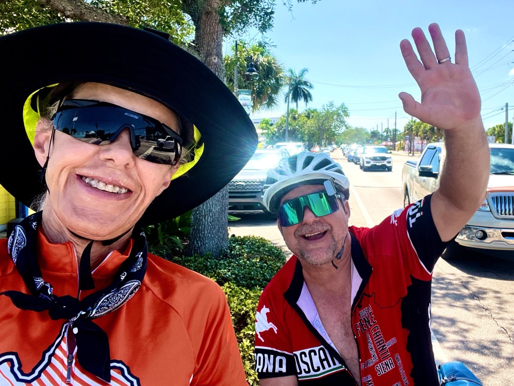
4/29/23 – Day Off in Wilmington, NC

I’d like to say that I slept in today and lounged around eating bonbons, but you know that would never happen. I stayed up late getting caught up on Ted Lasso (loved the bike connection with Roy Kent), but was only able to sleep till 8:00, when someone woke me to see if I wanted to go to breakfast with the team. Grrrr! I was ready to go in about 2 minutes. Had a great bagel sandwich for breakfast, then headed back to the church to get my chores done.

The mud splatter from the rain had to be cleaned off my bike and the chain re lubed, and I had to get my gear ready for tomorrow.

And then it was time to take a walk along the waterfront to get some steps in.

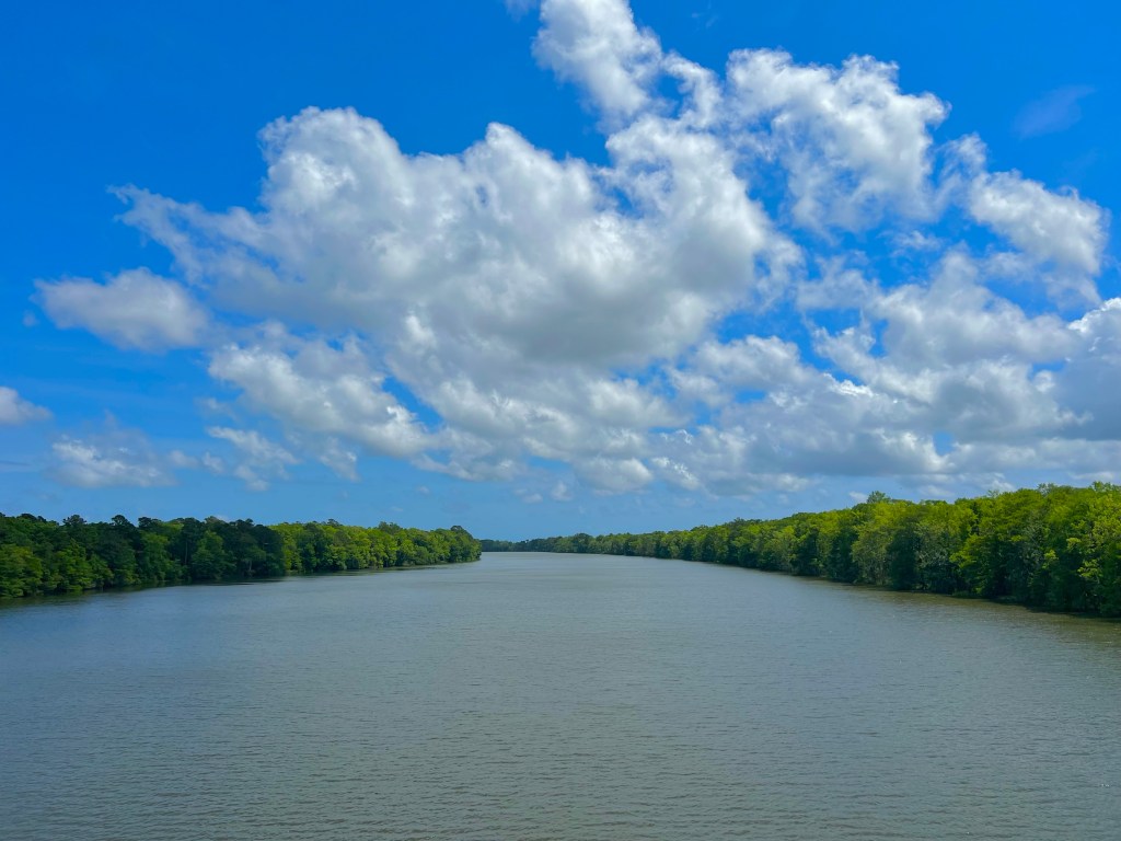
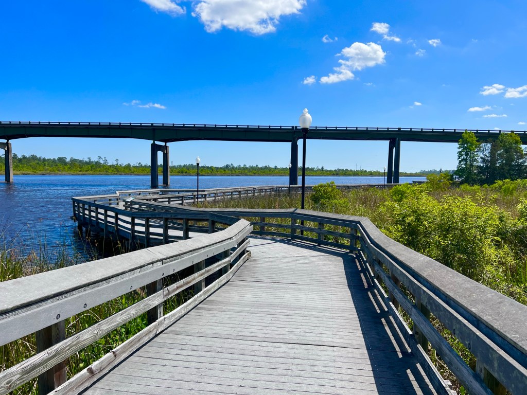
It was a beautiful clear day, so I inquired to see if there was a shuttle to take me to see the USS North Carolina, which is open for tours on the other side of the Cape Fear River, which is, as you might guess, a very wide river, like the other rivers I’ve posted photos of.

There was a water taxi to take me across the river, and it was ready to depart, so I hopped on, and there went most of my day.

That’s the water taxi captain and his very helpful son.

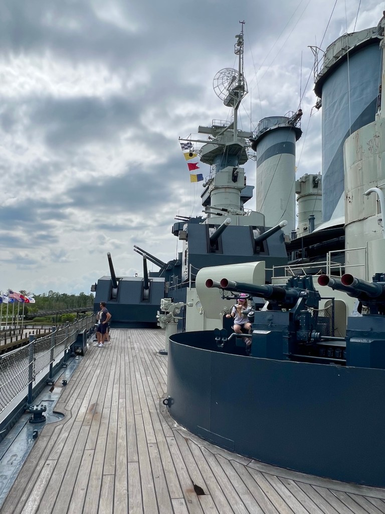
In its day, the USS North Carolina was the first battleship in a new class of 35,000 ton fast ships. It had 9 decks, and I climbed up and down steep stairs to get to each and every one of them and wove in and through narrow doorways, passages and rooms to see just about every facility, equipment, armament, electronic device, and capability of that battleship. It was commissioned in 1941, and considering how many years ago that was, the electronics, communication, navigation, mechanical, weapons and other systems were surprisingly complex.

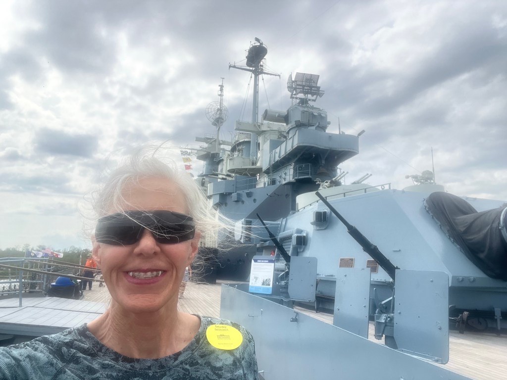
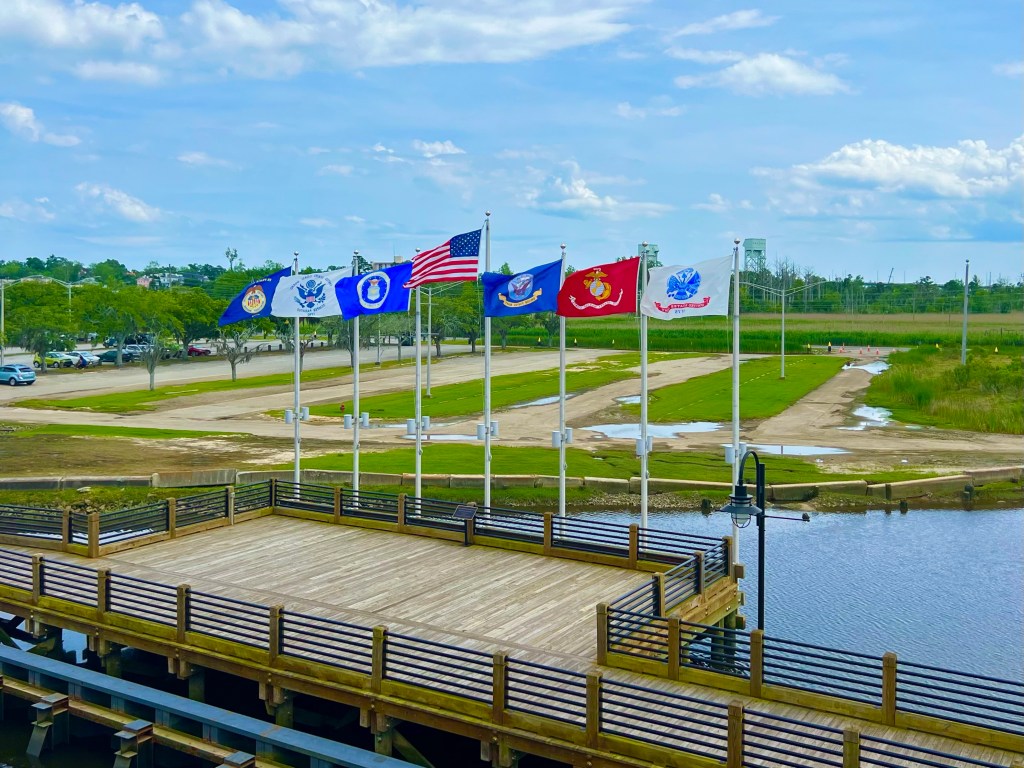
I always like the flags.

And that ship had some BIG guns. The nine 16 inch guns could be fired accurately at targets up to 23 miles away, and that was just one of at least 5 different types of weapons the ship sported.

It also catapulted two Kingfishers, which were airplanes used to patrol for enemy submarines, rescue airmen, deliver messages and make mail runs,

I enjoyed reading the stories of the battleship’s former sailors as they reflected on everything from the mess, their leaders, censorship of their mail, the infirmary and dentist, the “heads”, and their jobs and work conditions to the torpedo attack and friendly fire incidents that occurred on the battleship.

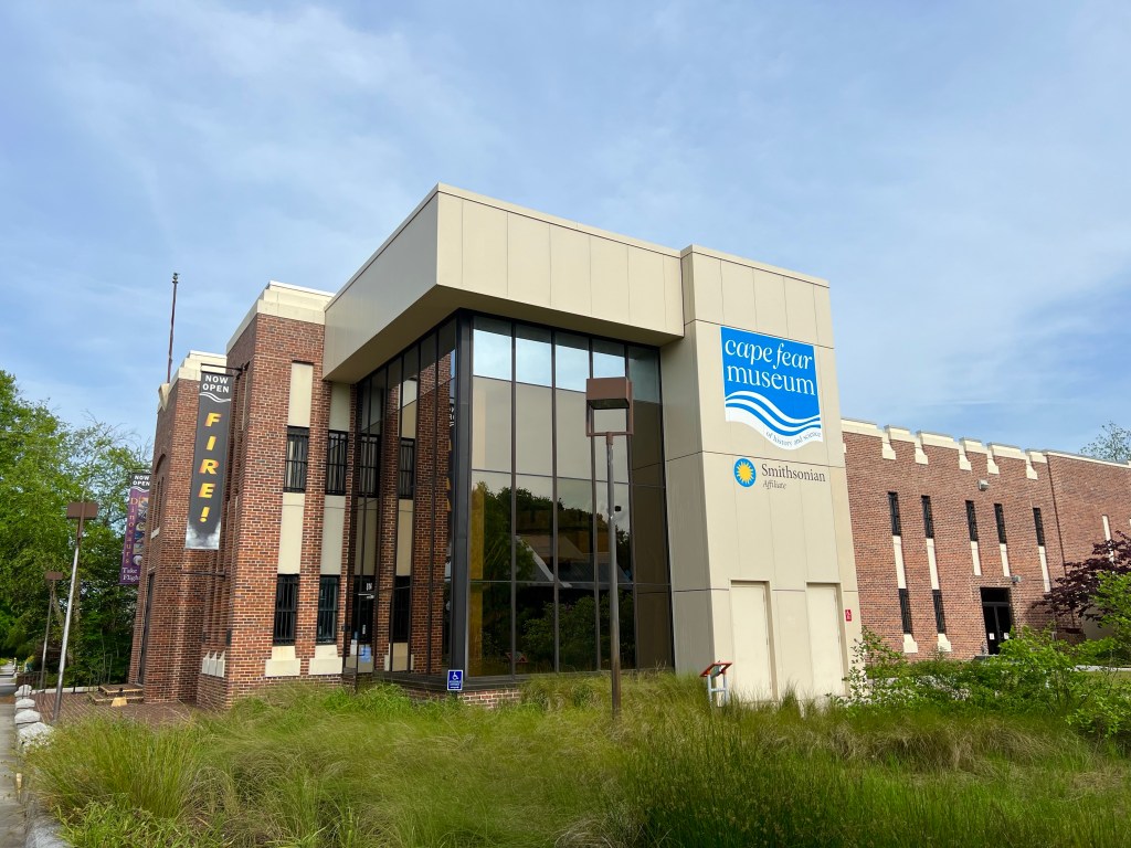
After almost 4 hours touring the battleship, I headed to the Cape Fear Museum, which happens to be a Smithsonian Affiliate museum. I arrived there just 20 minutes before the museum closed, so they let me in for free. The exhibits were top notch. I skipped the dinosaurs, natural history, fire and other areas to spend my brief time there learning the history of the people who lived on Cape Fear. It’s fascinating and sad, especially for the 50% of the population back in 1898 who were African American. Many of them were middle class, politically involved and highly educated people, and they were basically run out of town and/or killed by white supremicists in what is known as the Wilmington Massacre. All the rights the had been given after the Civil War were taken away, even their right to vote. That is just wrong in every way and barbaric.
So that is how my day off went, and now I am about to turn in. Tomorrow’s rain has already begun. I hope the clouds get rained out before I wake up in the morning.

4/28/23 – Myrtle Beach, SC to Wilmington, NC — I’m In North Carolina Now!!!

Miles: 84.23 Today / 1189.22 Total
Elevation Gain: 1076 ft. Today / 12,011 ft. Total

We had to clear out of the Trinity United Methodist Church by 7:00 AM, this morning, because they had to set up to serve either veterans or homeless people in the room our bikes were stored in. It was a big rush to get out the door, but somehow, I made it. We had an over 80 mile day ahead of us, and there was definitely going to be rain. There was also supposed to be a tailwind, but that never really materialized, and instead, we had a cross wind and sometimes a headwind. Good thing I got the weather report out of the way, eh?

I left clothed in my rain gear, and there was a slight drizzle, but that stopped after about 20 minutes, so I stopped, took my rain gear off and stowed it away. As we rode out of North Myrtle Beach, we crossed the Intracoastal Waterway, a US Army Corps of Engineers project I’ve crossed several other times, and I learned a few things. First that North Myrtle Beach was also known as Shag Town, per the water tower, and also that the gas price at the local Circle K was the lowest I’ve seen so far: $302.9 per gallon for credit / $292.9 for cash or debit. Can you believe it?

As the day wore on, I put my rain gear on and took it off about 5 more times. It was crazy! It would drizzle, and I’d start getting cold and wet, then it would stop 40 minutes later. Then start, then stop, then start, then stop, etc.

I crossed over the North Carolina State line, and nothing about the roads, terrain or weather changed. Here is a place I stopped to take a photo off the scenery to my right, but then I looked to my left. This is a really pretty place.

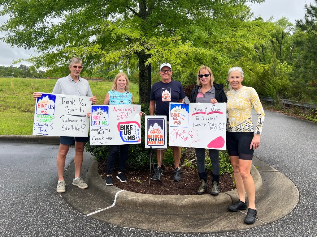
This group of BTUSFMS supporters were at our morning rest stop with peanut butter and honey tortilla wraps. The middle guy in the photo was going to ride with my team, but he injured his shoulder and had to have surgery, so will not be able to do the ride until next year.

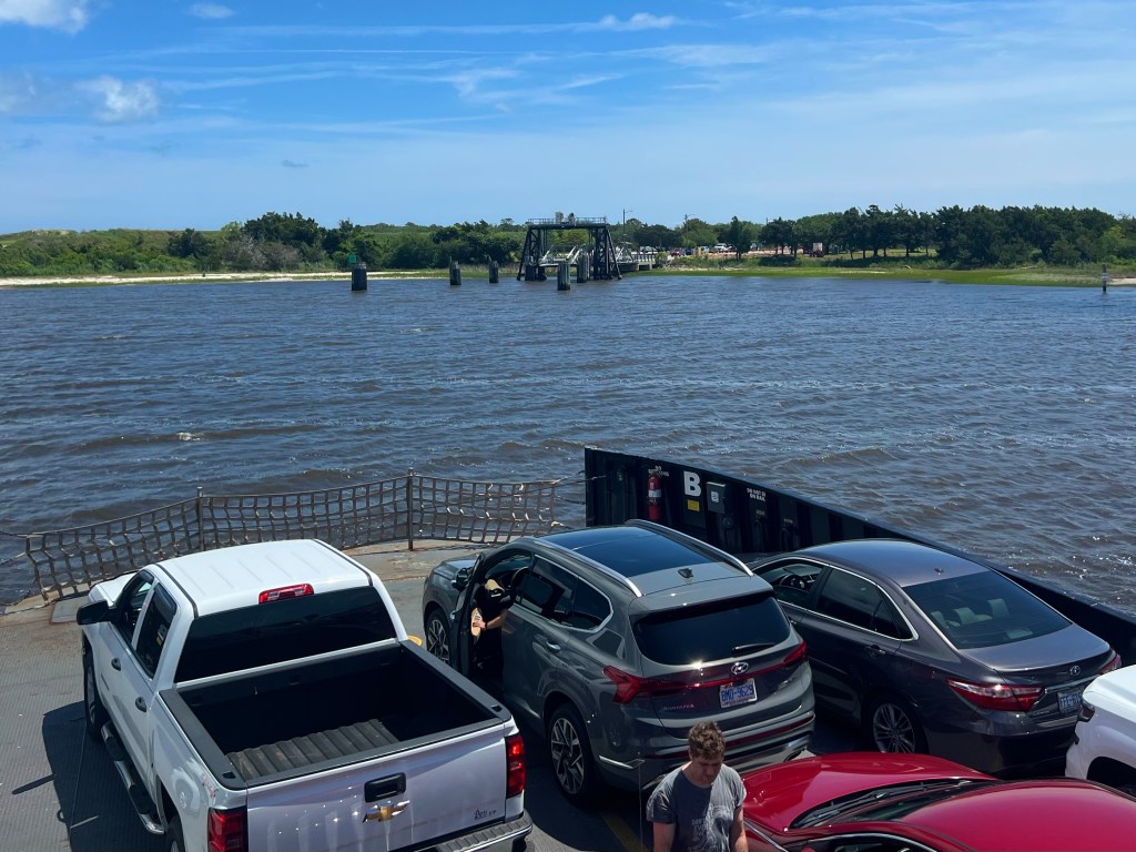
At about lunch time, the route delivered me and Ed up to a ferry landing and our lunch stop. We had a few minutes to grab a few bites, then had to get in line to board the ferry for its 4 mile trip from South Port to the Fort Fisher Historic Site, just outside of Kure Beach.

Once off the ferry, Ed rode off, and I stopped to learn about the history of the fort. A Confederate defensive fortification, it was built to protect the vital Confederate supply route from Port Wilmington. Basically a series of large sand berms with arms emplacements, it was manned by a Confederate force of just 1900 soldiers, the majority of whom were from North Carolina. In two brutal attacks by 55 Union battleships and additional ground forces, the small unit of Confederate soldiers were able to hold off the Union forces, but they were defeated in a third attack, sealing the fate of the Confederates in the Civil War. I don’t remember hearing about any of this in the 7 years of America History I had in school. Do you?

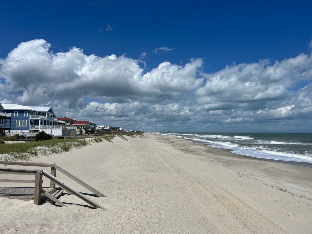
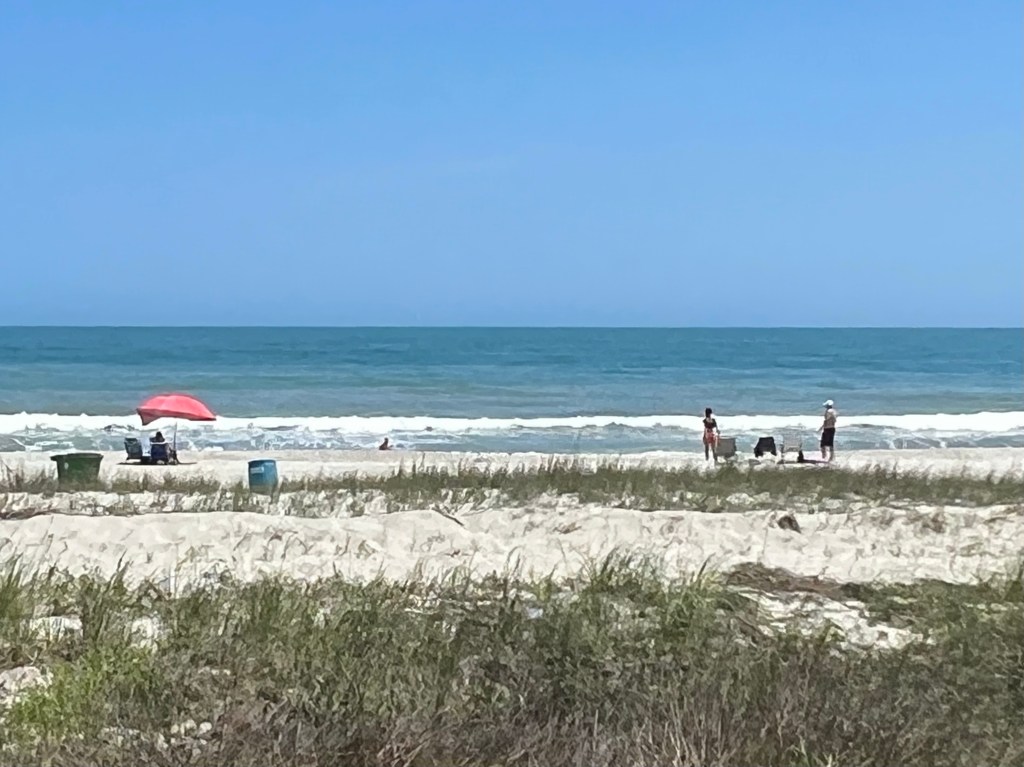
After goofing off at the fort, it was time to move down the route. I rode through Kure Beach, a quiet beach town a few miles down the road, and walked out to check out the beach. It was beautiful, but the water was rough, due to the wind.

I rode through a bunch of areas where new homes are being built on what looked like sandy and swampy land. How does that work? Got this photo of a swampy area, then before I knew it, I was fighting rush hour traffic in Wilmington.

We are being hosted by the First Baptist Church, in the basement of a building adjacent to their historic 1808 church building. The building we are in was originally the home of a prominent man who made his fortune in the shipping and railroad industries. From 1892 to the 1950s, the home was owned by the Wilmington Light Infantry and used as an armory, then at some point converted to a city library, and then later sold to the First Baptist Church for church offices.

The guy on the right treated us to pizza.

The basement has a lot of classrooms, bathrooms, showers, laundry facilities and 2 kitchens, which suited our group nicely. We spread out and all had some privacy for the day off we’ll be having tomorrow.

4/27/23 – Georgetown, SC to North Myrtle Beach, SC


Miles: 72.02 Today / 1104.99 Total
Elevation Gain: 1900 ft. Today / 11,035 ft. Total

I forgot to mention, yesterday, that I passed the 1000 mile point of this ride. Not bad, eh? The Bike the US for MS mileage has not been accurate, so I am not sure how many miles long this ride will even be, at this point. It will be one of those stupid mysteries you don’t have the answer to until the very last day.

And an update on our injured rider. His surgery was postponed until tomorrow, because he needed to be transferred to a bigger more modern medical facility with more skilled orthopaedic surgeons. He will be getting a knee replacement, not just a repair to the femur. His wife arrived today, and they will have to figure out how to get him home. He may not be able to fly for a couple of weeks—maybe longer. Very sad outcome for him and them both. If you are a person of faith, his name is Dan, and he could use your prayers.

Today was a great riding day. Cool temperatures all day long, with a nice breeze that wasn’t enough to help or hurt you as you cycled along. And there was cloud cover most of the day. The route was great as long as we weren’t riding on US Highway 17, which we did off and on all day long.

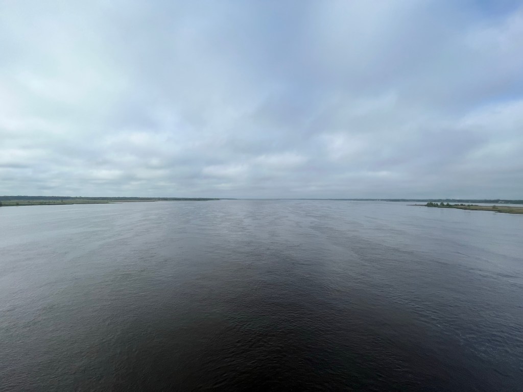
Pulling out in the morning, we rode through the historic section of Georgetown before crossing the Waccamaw River. Most of the rivers out here are wide. REALLY wide.

This sign had our agenda for the day on it, although my friend Charlotte Rowe added a restaurant stop onto the agenda—a stop at Blueberrie’s Grill in South Myrtle Beach. She’s been pumping me up for this stop for 3 days. I felt to pressure to see it all! We rode through Murrell’s Inlet, just before entering Surfside Beach.

Over half of the day was spent riding on the road next to the beach, so we passed a lot of funky places and a ton of vacation homes, luxury resorts and gazillionaire mansions. I’m guessing that some of the gazillionaire mansions are vacation homes too.

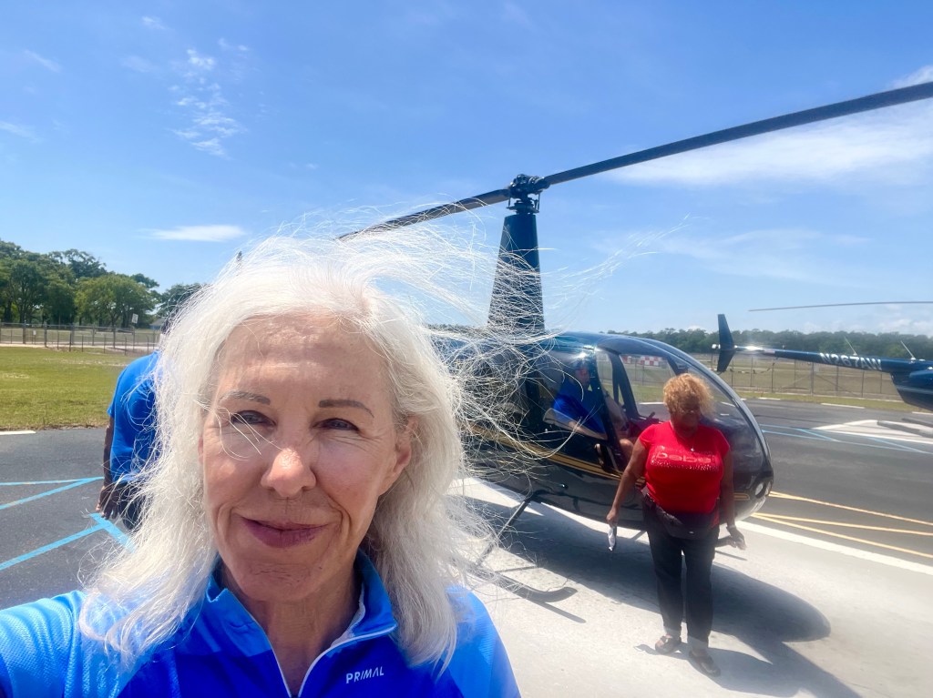
When I arrived Myrtle Beach, I noticed a billboard advertising a $20 Helicopter Tour in 2 miles. That’s a bargain, right? Of course people die all the time in helicopter tour crashes, so it was a scary thought. I was riding briefly with a couple of the guys from our group and asked them if they’d do it. One of them responded, “What could go wrong?”—speaking of the known safety problems some of these tour operators have. Neither of the guys were interested, but as I got closer to the airport, I gave taking the tour some consideration, and I decided—I’m doing it!

I pulled up to the office and inquired about this deal that seemed too good to be true. Turns out that you have to have 2 people to get that price or you pay double the price. Hmm. Not such a good deal, but just then a lady walked in by herself. Her husband wasn’t up a helicopter flight, so she was going to do it alone too. So we went together, and we upgraded out tour from a 2 minute helicopter ride to an 8 minute ride. Within minutes, we were on a 4-seater helicopter, with just a pilot.

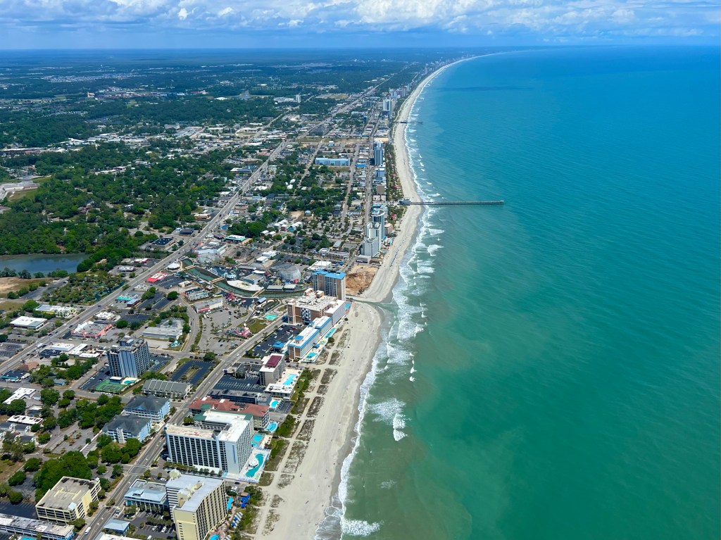
The pilot flew us out over and along South Myrtle Beach, then circled around and back to the airport. Seeing the sights from the sky was amazing, and it was a blast!

Back on the ground, it was now time to get back to my bike ride. The restaurant on my plan closed at 3:00 PM, and it was now about 1:30, and there were sights to be seen along the way. I rode past the Goddess of the Sea bronze sculpture along the beach in Myrtle Beach and stopped a couple of times to check out the each. It looked pretty darned nice.

Conner, one of our Tour Leaders, was just coming back from a swim in the ocean as I rode by one beach access, and seeing him made me wish I’d brought my swimsuit with me. I would definitely have gone for a swim. So next time I know I’ll be riding along the beach, I’ll be packing my swimsuit and pack towel.

I pulled up to Blueberry’s Grill at 2:35 PM, and the menu had way too many delectable food choices on it. I settled for biscuits and gravy, blueberry hush puppies, and a blueberry muffin to go (I need to carbohydrate load, you know.) The food was delicious! Thanks for the recommendation, Charlotte! I thought of you every time I took a bite!

After savouring my late lunch, I was under the gun to get to the church where we were staying this evening. When I arrived, the host had a nice dinner laid out for us. I was still stuffed from my lunch, but how could I turn down that hospitality? I went ahead and ate another meal. (Sorry. No photo of the dinner.)

The church had a lot of nooks and crannies for us to carve out private sleeping places in. I reserved the left side of the stage—next to the grand piano and sound equipment. That new mattress of mine fit right in there nicely, and I slept like a puppy.

4/26/23 – Mt. Pleasant to Georgetown, SC

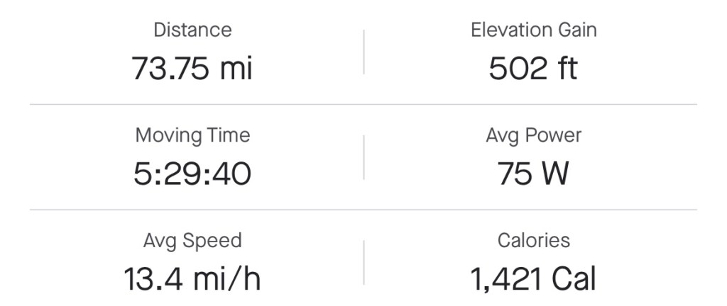
Miles: 73.75 Today / 1032.97 Total
Elevation Gain: 502 ft. Today / 9135 ft. Total

Another day, another disaster. We left St. Augustine, FL with 8 riders and 4 volunteer ride leaders from Bike the US for MS (BTUSFMS). As of today, we are now down to 6 riders. More about that later.

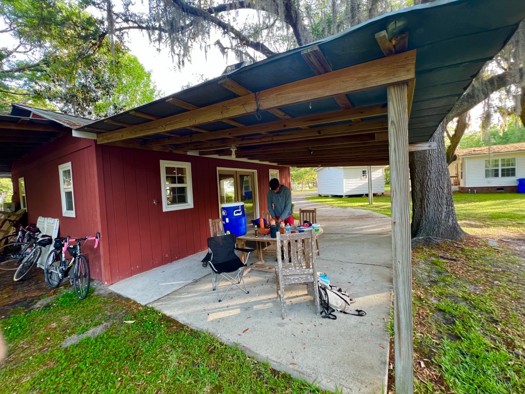
I was able to snap photos of the barn and other facilities where we stayed last last night, before leaving this morning. Only 3 of us slept in the barn—the rest set up tents in the grass. I’m by no means a whimp, but there’s still dew on the grass here in the mornings, so I’ll sleep indoors any time I can, so I don’t have to deal with a wet tent.

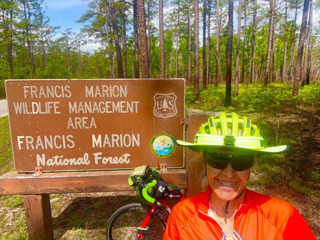
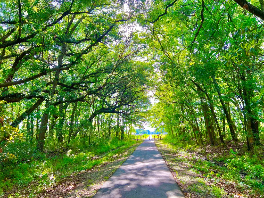
Once I’d done all my morning chores and was on the road, today’s ride just felt like a nice long bike ride. It was cool out—about 68-70 degrees, and we either had light cloud cover or were shaded by the trees that lined the roads we rode on. Spending most of our time off of US Highway 17, which is busy, with a rumble strip and a sliver of a shoulder, we did the majority of our riding on low traffic roads that looped away from the highway. We passed through Francis Marion National Forest, crossed over numerous rivers and creeks, and toward the end some large stately de plantations.

Shortly after our first rest stop, I rode up on a group of our riders assembled on the other side of the road. One guy was sitting off the road and leaning against a ground mounted sign. He and the guy he has been riding with were stopping, but this guy’s pedals have been hard to get out of, and on this stop, he was unable to unclip his right shoe from the pedal. So he and the bike went down onto the roadway. He got his foot out of his shoe, but was never able to get the shoe off the pedal. He had road rash on his right elbow, but the bigger problem was that his right hip was killing him, and he couldn’t put any weight on that leg. Including the injured rider, there were 5 of us there, 2 of whom were ride leaders, so I told the guy I would pray for him and rode off.

The ride leaders summoned the rider support van that staffs our rest areas, and about 20 minutes later, it passed me on its way to pick this guy up. When I got to our second rest stop, a Circle K store parking lot, he was draped across the second row bench seat of the van and wasn’t planning on moving. I was the only Mom on the scene, at that point, and noticed that he hadn’t eaten anything and had a bloody elbow. After buying him some strawberry milk and a hot dog, I got the ride leader to put some bandages on his elbow so it wouldn’t get infected or stick to the van seat.

All of us riders rode on and left him with the rider support vehicle driver, who drove him up the route to the Wayne United Methodist Church where we were staying for the night. At the church, they called the paramedics who showed up with a fire truck. He was taken to the local hospital in an ambulance, and a couple of hours later, we got the word on his condition. He has a broken femur neck and will be having surgery in the morning. The ride is over for him, and his wife is flying out tomorrow to take him home, once he can fly.

I didn’t mention this last week, when it happened, but another rider went home last week. He was a really great guy who rode the Southern Tier from San Diego to St. Augustine with BTUSFMS last year. Sadly, this year he was having two or more big medical problems that made it impossible for him to continue riding. He lives on the East Coast, so his wife drove down to pick him up. They have a granddaughter who graduates this year from Perry High School in Gilbert, so I’m hoping to see them on the one day I’m home in May.

It’s sad to lose these guys from our team! Both of them put so much into training for the ride, preparing their gear, and the fund raising required to participate. More that that, they are A+++ people, and we will miss them.

Didn’t I just say Never a dull moment a day or two ago?

I know I’m all over the place, here, but I wanted to throw in that the store manager of the Circle K where we ate lunch chased me down to give me a $20 donation. What a nice lady! Donations big and small are appreciated.

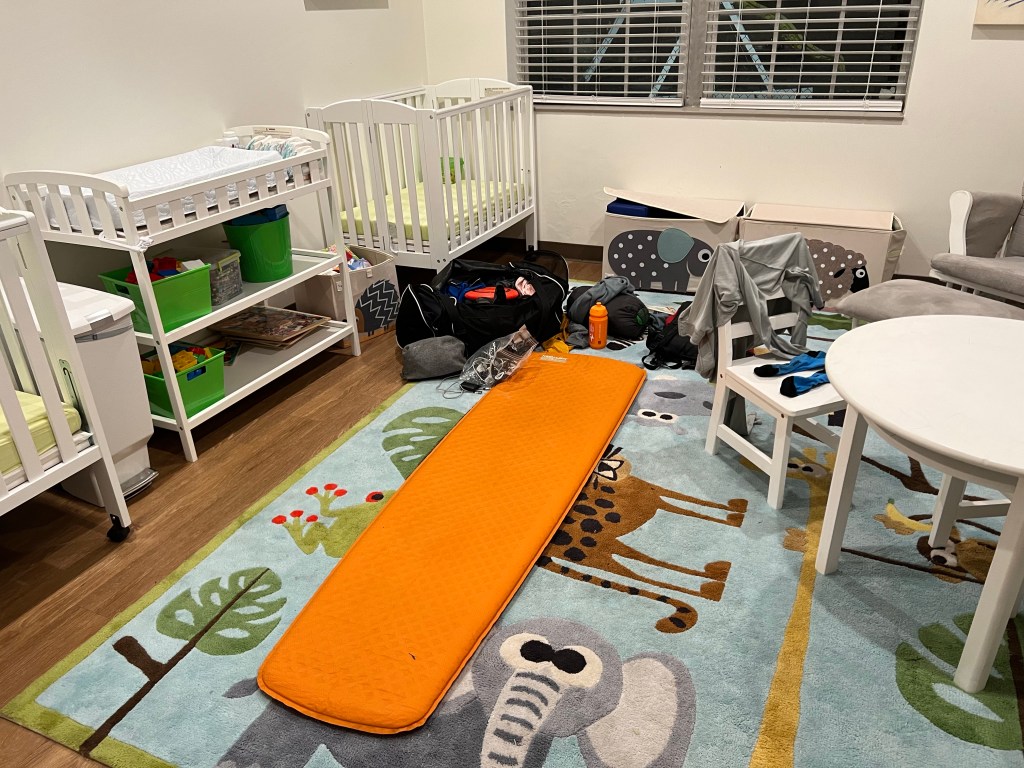
Nick and I staked out the room with the softest carpet—the toddler room

The members of the Wayne United Methodist Church made us a huge taco salad dinner and brought in a strawberry cake made by a local baker. So good! We are really enjoying the hospitality we receive from the members of the churches who host us.

4/25/23 – Hollywood through Charleston to Mt. Pleasant, SC


Miles: 38.65 Today / 959.22 Total
Elevation Gain: 525 ft. Today / 8131 ft. Total

We got to sleep in today, because extra time was built into the schedule for enjoying Charleston. I took a break from my routine last night to call my sister Janette, so I needed a little bit more sleep this morning. And it’s about time I had a rest day, so this short 38-mile day will have to be that for now.

Before we pulled out of the campground, I noticed a mother duck hanging out by the fence I had set my tent up near last night. And the reason she was hanging out was that she had a little clutch of ducklings she was running herd on. It’s hard to see them in this photo, but there were about 6 of them, andthey had yellow bodies and black heads. She seemed to be digging up worms and feeding them to them. They were so cute!

I spent the entire day riding and sight seeing on my own. Putzing around at my own pace and spending as much or as little time as I want to checking out statues, landmarks and shops suites me. I did run into one person from our group in Charlestown–our head ride leader, Jade. She had parked at an intersection near “The Battery”, in case anyone needed anything from the rider support van, which none of us did, but I was nearby, so popped over to say Hi.

Here’s how my day went. Shortly after beginning my ride, I found myself on the North Ashley Greenway, a rail trail that took me over halfway to Charleston on a nice smooth pathway, with no traffic. Once in Charleston, the traffic situation worsened, but in the historic parts of town, there were so many tour groups and tour busses, that all the cars were moving slowly, and it was easy to get around them.

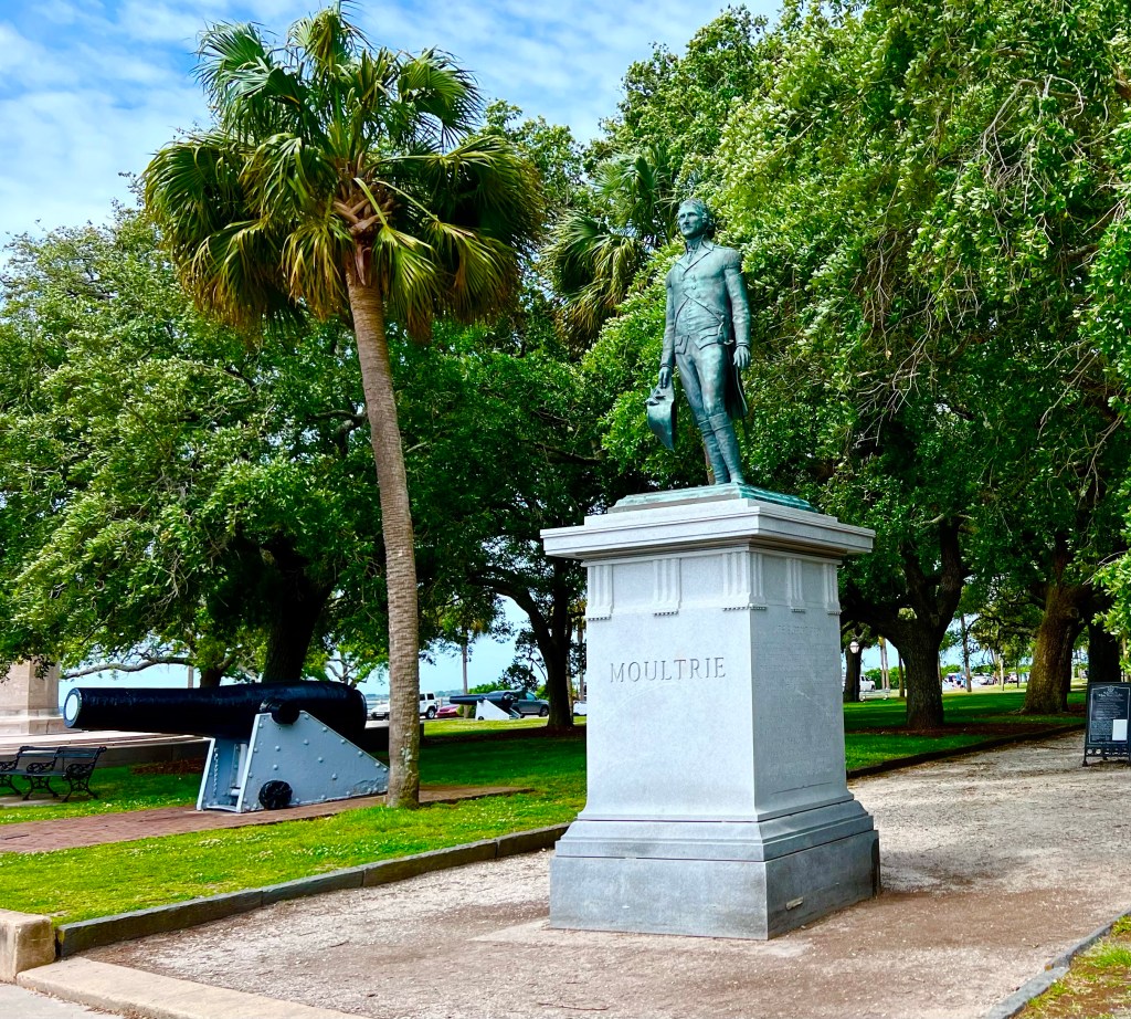
I started out at White Point Gardens, a shaded park with a central walkway lined with numerous statues and monuments.

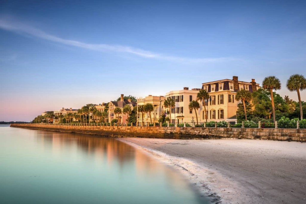
Then I rode around “The Battery,” which is a defensive seawall and promenade named for a Civil War artillery battery that was located at that site. It is lined with historic antebellum mansions, and the promenade is a 1.2 mile walkway along the seawall in front of the mansions and White Point Gardens. Here’s a photo taken on a day when there wasn’t a 14 mph wind whipping up waves and blowing people on bicycles all over the place.

After riding “The Battery”, I took the recommendations of a bike mounted tourist host and rode down Broad and Meeting streets to see how the real people lived.

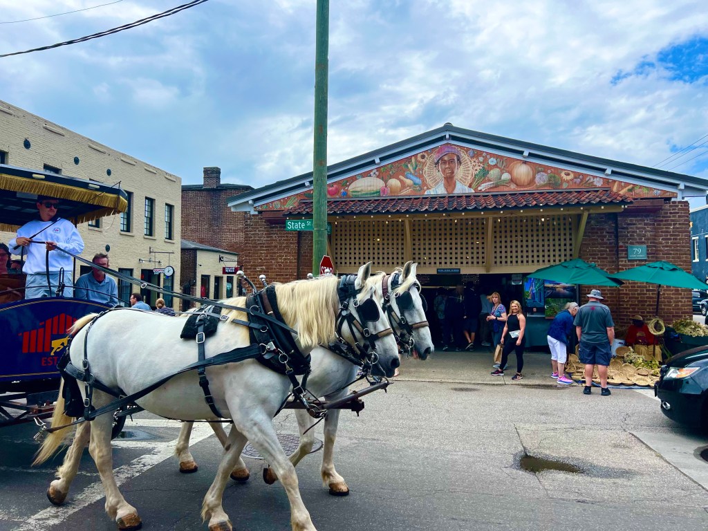
Then I headed to the City Market, where I was hoping to see some produce and baked goods, but I had that wrong. It was mostly cheap jewellery, weird craft items, chincy souvenir items, etc.—not my thing. But it was surrounded by restaurants, and I ended up sampling some cookies and stopping in a little Italian place for a delicious Calzone.

By now, it was close to 3:00 PM, so I hopped on my bike and headed out for Mt. Pleasant, where we were to camp at St. Peters Church. It was pretty windy out, and at times, when I was riding into a headwind, I felt like I was barely moving. As I crossed the 2.5 mile long Cooper River Bridge, there was a 14 mph cross wind with gusts that almost knocked me over a few times. I was in a pedestrian bike lane, separated from traffic by a concrete barrier, and the wind was blowing away from the bridge railing, so being blown over wouldn’t have killed me, but it was pretty scary just the same.

The route took a little long cut up to Sullivan’s Island and Isle of Palms, probably to subject me to more head and cross winds, but I was glad to see those parts of the world. But now I was really wanting to get to the church and get settled for the evening.

And that’s when I saw a sign for a Target store, and was needing a few food items and a new fork and spoon (can’t find mine), so I pulled in. In the course of rounding up the cocoa, lunch and snack food, I noticed a new Ben & Jerry’s flavor I’ve never tasted and bought myself a pint. Let’s see now, I had 3.9 miles left to go to get to the church, and I was moving at about 12 mph. If I waited 20 minutes to eat the ice cream, it would be melted, so I sat down on the bench in front of Target and downed the entire pint. That bench seemed like an appropriate place to call my sister Catherine, so before moving on, I talked to her for a while and had some laughs over the latest firings of news personalities.

St. Peters Church’s accommodations for us? A big barn for people willing to sleep on a concrete floor (me) and a beautiful grassy area lined with tall trees for folks who like to set up their tents. Pretty cool accommodations, don’t you think?

4/24/23 – Beaufort to Hollywood, SC

Miles: 80.44 Today / 920.57 Total
Elevation Gain: 610 ft. Today / 7606 ft. Total

What if I told you that the days are starting to be a blur? Would you believe me? Starting out, today, I knew it was going to be an 80 mile day, so my top priority was to hunker down and just ride. I did see a few interesting sights along the way, though.

Before I get going on the sights, I need to back up a little to last night, when we stayed at a church in Beaufort. This church had 3 different rooms for us to spread out it in, and I got lucky and wasn’t in a room with any snorers. After cleaning my chain and cassette, charging all my devices, eating a wonderful chicken and rice dinner prepared by the pastor of the church, doing a load of laundry at a laundromat a block away, hanging clothes on my clothesline that could not be dried in the dryer, laying out my clothes for tomorrow and posting to my blog, I was able to get some quality sleep. I need more of that!

I was on the road at 8:08 AM, and we started out where we left off—on the Spanish Moss rail trail. It was cool out, the scenery along the trail was beautiful, and in 4 miles of riding, we didn’t pass a single person on the trail. Unbelievable. That would never happen AZ.

At the point where the rail trail ended, we passed the entrance to Parris Island, the Marine Corps training base here. Didn’t have time to ride on base and check things out, but I did get a photo of this static display.

Off and on, I rode with 6 different guys. I would pass a couple of them, they would catch back up and pass me, then I’d catch up with others in our group, then we’d all meet up at a rest stop, repeat, repeat, repeat. We rode in some gnarly traffic and on some gnarly roads with little or no shoulder and a healthy rumble strip, and we all lived to see another day.

South Carolina is a beautiful place. We rode the Heritage Corridor Discovery Route through a lot of swamp land, over several rivers and creeks, and passed through areas with the huge lush trees that are everywhere in this state.

At one point, the route took is over 2 miles of gravely bumpy dirt road. Why? I’ll never know, as there were alternative roads to get to the same destination. Someone at ACA must have decided to throw in the dirt section to shake things up.

There were quite a few historic markers along our route, but most of them were about a house or church—not a historic battle or event. The one above was my favorite.

A couple of stories:

This morning, when one of the guys pulled his phone out of his pocket to take a photo, his phone caught his wallet and pulled it out too. He didn’t notice that his wallet was missing till he was several miles up the road on one of those sections of gnarly traffic and roads I just mentioned. You would have to be completely desperate and/or insane to ride that section backwards, looking for a missing wallet, then re ride it again to get back to where you began the search. This particular fella is pretty easy going, and he decided just to accept that the wallet was lost and move on. Well shortly after his wallet fell out of his pocket, one of the guys in our group who was behind the guy with the lost wallet saw it laying in the middle of the road and picked it up. Lucky break for the guy who lost his wallet. Definitely made his day.

Then this evening, we camped in a campground at a group site with a huge pavilion with probably 18 plywood picnic tables to lean our bikes against, spread our gear out on, and cook and eat our dinners on. I have a Soto backpacker stove that you screw a propane canister to, and when I went to light the stove, at first I got a flame like I always do. A few seconds later, though, flames—BIG flames—started shooting out from the connection between the stove and the fuel canister. The picnic tables were going to go up like torches if I didn’t get the flaming stove and canister off the table. I knocked the canister off the table and onto the concrete floor and shoved it away from anything wooden with my foot. With all the flames, we were concerned that the fuel canister would explode. While I was doing what I could to keep the flames away from all of the nearby wood, my hero, our ride leader Jade, ran to the trailer, grabbed the fire extinguisher and was back snuffing out the flames in a matter of seconds. Hallelujah! The fire was out, but now fuel was leaking from the canister and pooling up on the concrete floor. We turned on a big fan to move the flammable fumes out of the area and waited for all the fuel to leak and evaporate before getting back to fixing our dinners. And yet again, we lived see another day.

4/23/23 – South Carolina Already? Richmond Hill, GA to Beaufort, SC

Miles: 83.36 Today / 840.17 Total
Elevation Gain: 827ft. Today / 6996 ft. Total

Today was a Sunday, with no way to go to church and no way to stream church or religious music. There was just time, LOTS of time, to sing church songs to myself and think about spiritual things, which is not the same as going to church.

I may be getting into a routine, here. This morning, I was up early and on my bike by 8:08 AM. And that was after preparing and eating breakfast; packing up my sleeping bag, mat and ground cover; preparing bottles; sorting out and loading up snacks and bottles on my bike and in the rest area bins and ice chest; mounting all my lights and devices (5 total) on my bike; cleaning my teeth and braces; applying sunscreen; carrying my gear back out to the trailer and stowing it; and pulling out and donning a jacket to keep warm for the first couple of hours (it was 54 degrees out). How’d I do?

The mobile home street scene is a big change from the coastal towns.

We traveled down busy rural highways and through several nondescript small communities, till we arrived in Savannah, one of the most historic cities in the South.

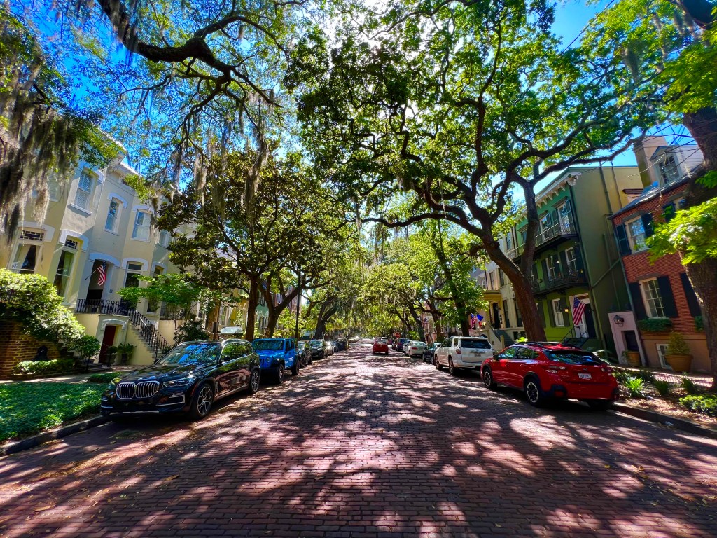
The entire historic district is street after street of amazing, well maintained, historic homes and buildings.

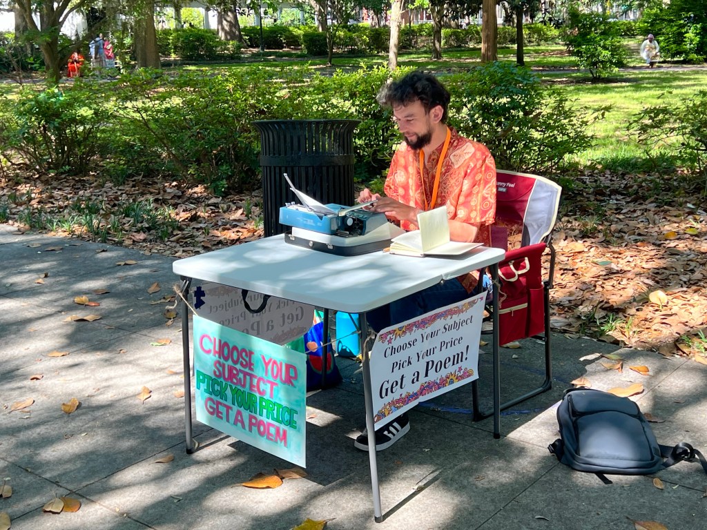
My favorite vendor. A guy who, while you wait, types up a poem for you on an old fashioned typewriter.

Our rest area was in the parking lot of a Krogers Grocery Store, just a couple of blocks from Forsyth Park, the centerpiece of downtown Savannah. It has 30 acres of walking paths, fountains, statues, ball fields, playgrounds, and other facilities and was a busy place, with locals, tourists and vendors engaged in all kinds of things.

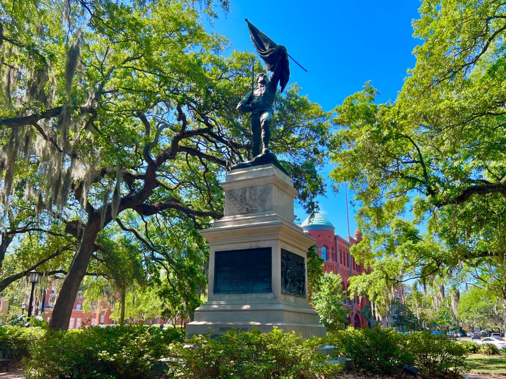
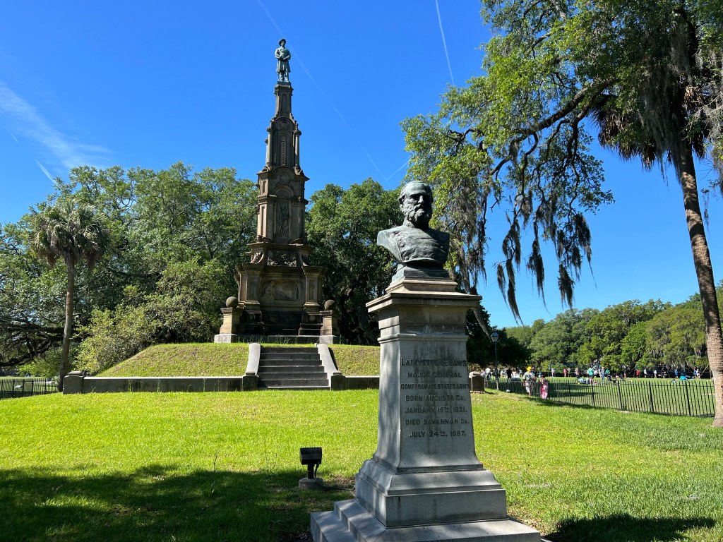
South of the park were several squares, each with a large monument as its centrepiece and multiple memorials erected to honor famous heroes and historical figures and to recount historic events that occurred there. Revolutionary and Civil War battles occurred near what is now downtown Savannah, so some of the leaders and heroes of those wars were honored.

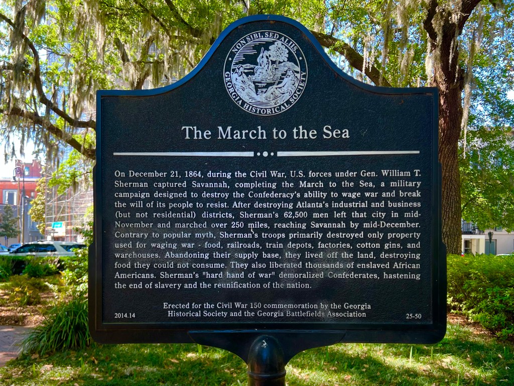
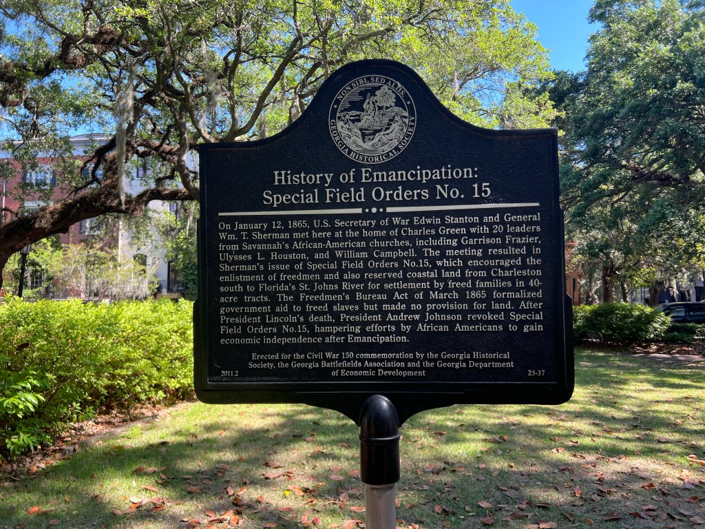
Surprisingly, some Civil War memorials are still standing. I wonder how much longer they will be there, or will people in the US come to accept that our ways of being change and evolve over time, and the past is worth remembering so we can see how far we’ve come. I’ve included photos of many of the memorials here, in case you like reading that kind of stuff. I do.

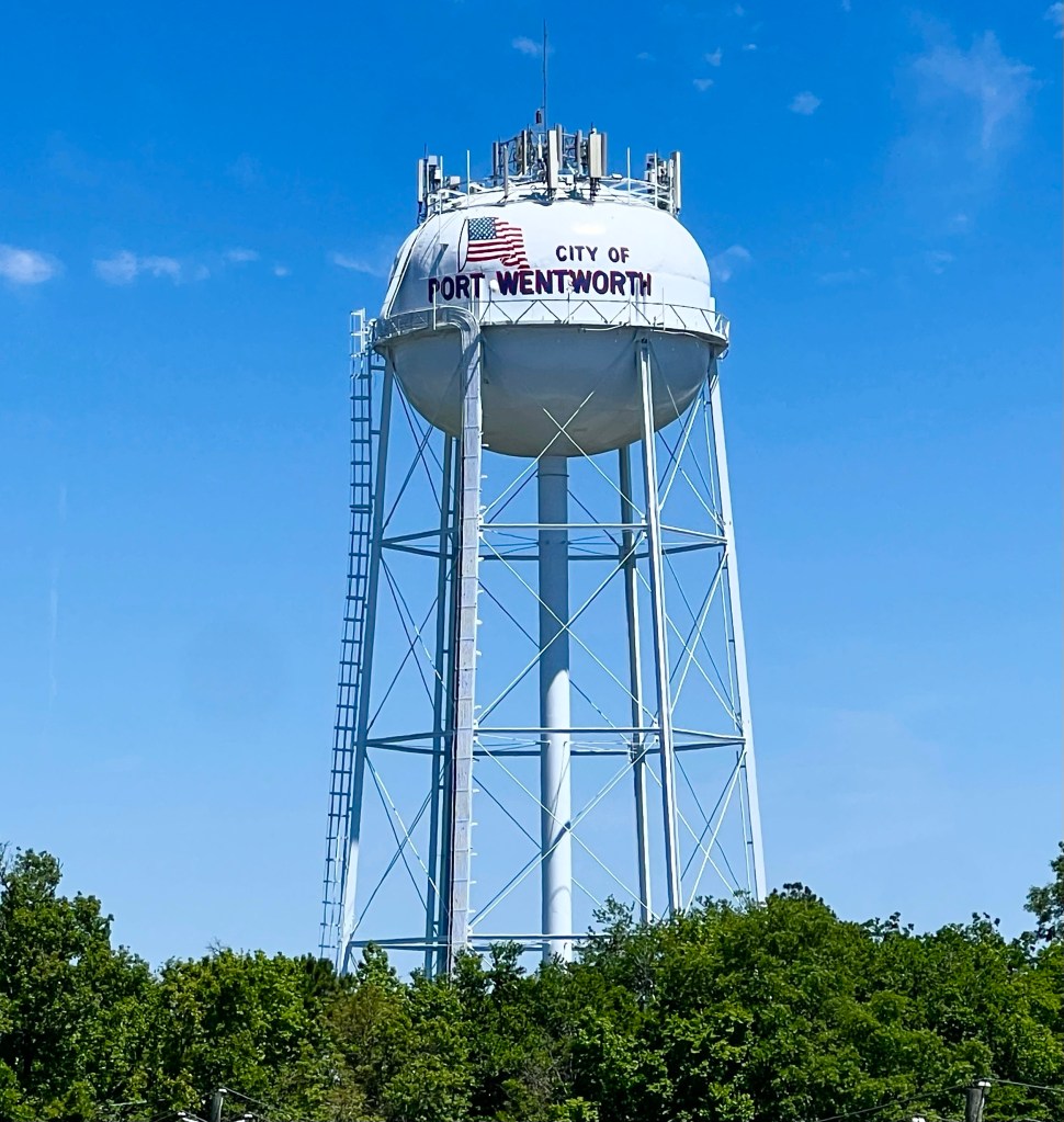
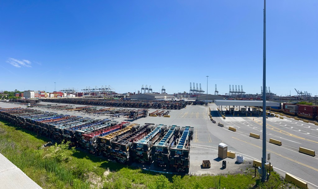
As I pedalled out of Savannah, I passed through Wentworth, where the Port of Savannah, the third largest port in the country, is located. It moves 5.6 million containers a year, which is almost a third of what moves through the Los Angeles/Long Beach Port. It was a very busy place.

Moving down the road, I passed through the Savannah National Wildlife Refuge,
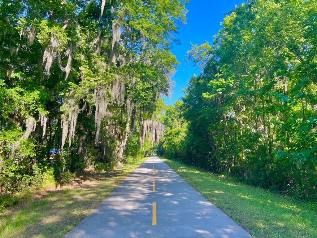
where the only wildlife I saw was road kill being eaten by vultures; Alligator Alley (I didn’t see a single alligator); beautiful forested areas with Spanish moss hanging from everything; and some massive rivers and swamplands.

And then, I crossed over into South Carolina! Yay!

The scenery in South Carolina was just like the scenery in Georgia. More lush forested areas, more rivers, and more swamps.

As we approached Beaufort, our destination for the day, we were routed onto a historic rail trail, the Spanish Moss Trail, for 7 miles. It had lots of cool scenery and historic buildings along a nice, shady, smooth, winding path. My grandkids would have loved riding their bikes on that trail.

My grandkids would have loved Savannah too. I need to talk their parents into letting me take them on a long vacation so I can show them some of these sights!

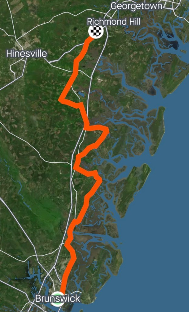
4/22/23 – Brunswick to Richmond Hill, GA


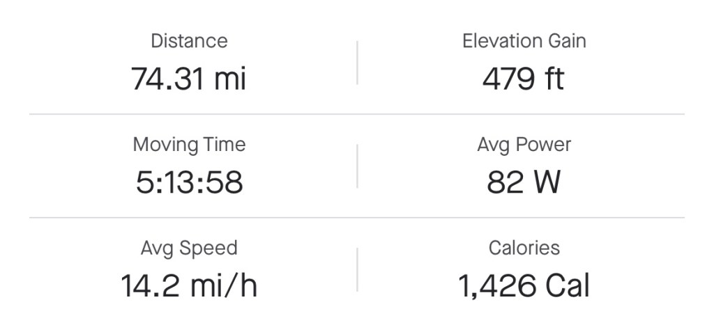
Miles: 74.31 Today / 786.81 Total
Elevation Gain: 479 ft. Today / 6169 ft. Total

Could I just take a day off of the blog? Truly, not much happened today. I rode by a gas station, and regular gas was $3.29 per gallon. Can you believe it? That is how good these guys have it out her in Georgia and Florida.

And here’s something else amazing: I rode over 74 miles, today, and just taking it in sections made it doable, even without cell phone service, music, podcasts, etc.—the things that normally entertain me, when I’m riding my bike.

The route took me through small towns, all with populations of less than 10,000 people: Darien, Meridian, Crescent, Townsend, Riceboro and Midway. I rode on a lot of roads that were undergoing construction and on one very long section with horrible pavement, aggravated by an old chip seal surface. There was one McDonalds at the freeway exit of I-95, but other than that, most of the towns didn’t have a restaurant or store or any kind.

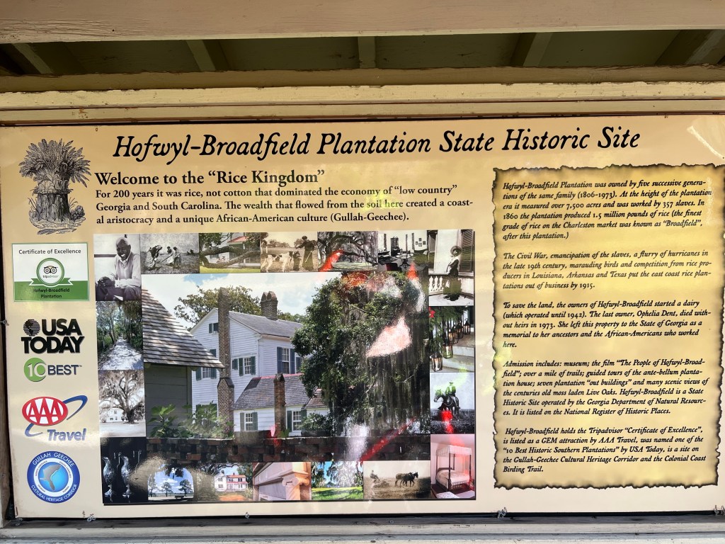
Just before Darien, I pulled into the Hofwyl-Broadfield Plantation State Historic Site to take a photo of the home there, but they were going to charge me $8 to get close enough to just snap a photo, so I took a picture of a picture. I know. It’s lame, but I have to be practical about these things. At the height of the plantation era, 357 slaves from Sierra Leone worked on this plantation. They brought with them, from their home country, knowledge on how to grow rice, so this plantation was very successful, until the slaves were emancipated. Other factors, like hurricanes and competition from rice producers in other states also contributed to them going out of the rice business.

In Darien, where we had our first rest stop of the day, there was some kind of festival going on. I love festivals, but no one I asked knew anything more about the festival than that you had to pay $5.00 to get in. What’s that about? I peddled on.

Just after Darien, I stumbled onto this 75 foot chimney near the road, and plantation house further back on the property. The historic marker in my photo indicated that it belonged to a man whose daughter and grandson were authors. In researching the chimney online, I found the wording of a historic marker that was not posted where I could see it. According to that marker, back in 1850, the chimney was part of a steam powered rice mill and the house was built in 1927—AFTER the plantation era—and belonged to a man who was half owner of the New York Yankees. I like the second story better, don’t you?

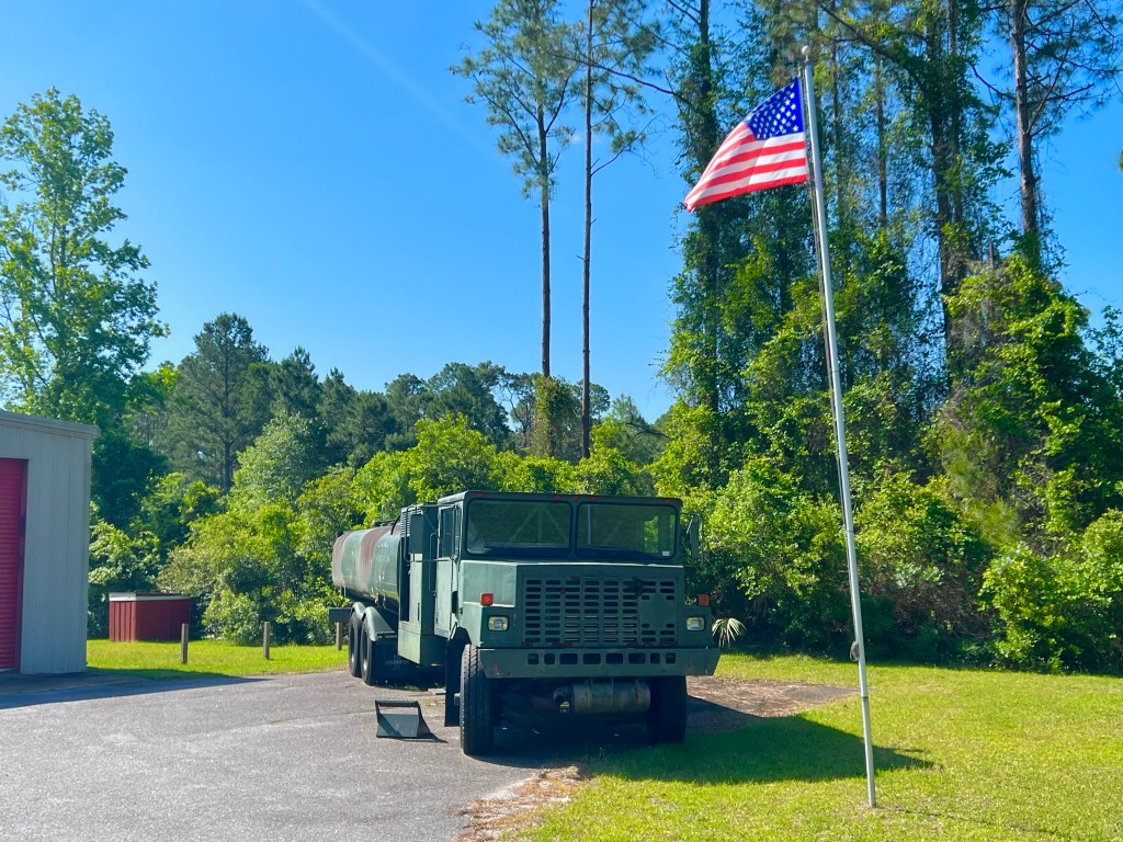
As I peddled on, I passed a couple of other things of interest—and I’m stretching to say they were interesting. There was the McIntosh County Volunteer Fire Department in Meridian, with this Army fire truck. I hope they have some real fire trucks behind those garage doors, but what if they don’t?

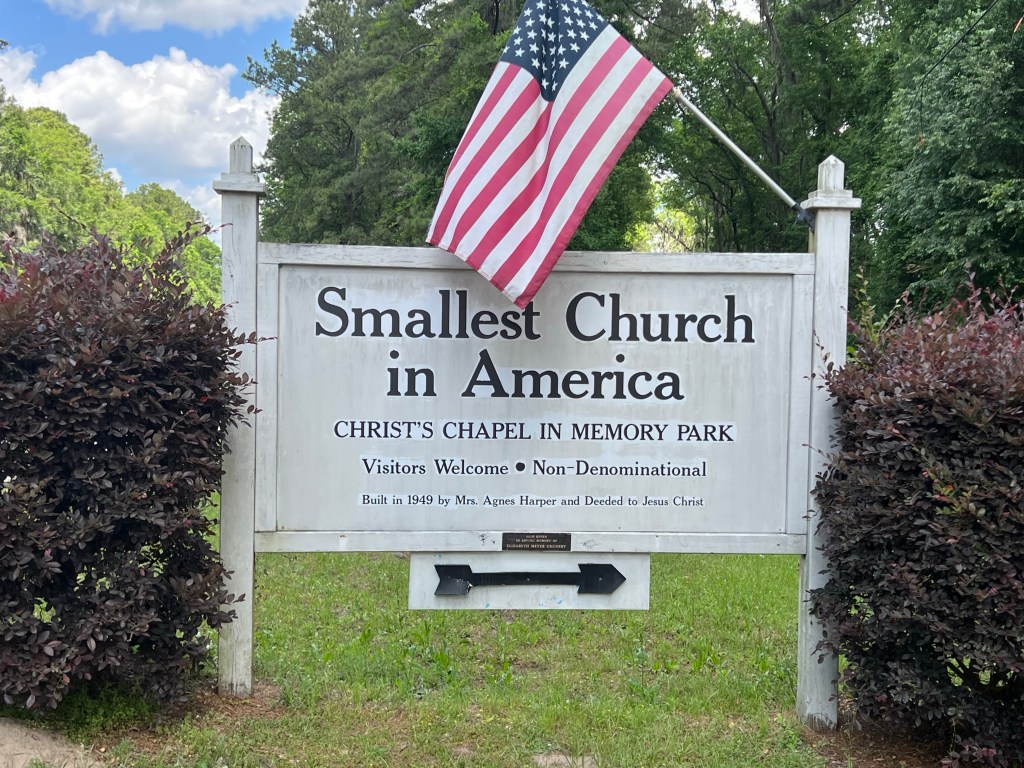
In Townsend, was the Smallest Church in America. I fact checked it, and it really is.

So for lack of other interesting things to write about, I thought I’d educate you on the rest stops our crew sets up for us. The Route Leader in charge of the rest stops for the day, of which there are usually 3, finds a shady spot, the appropriate distance from the last stop, that is on the route. He or she sets up chairs and a table with a cooler of cold water, hand sanitizer, sunscreen and snacks.

He or she also sets out our day cubbies. See mine? It’s the lower right cubby in the left bin, and it is typically stocked with a banana, M&Ms, chocolate chip cookies, sandwich rounds, veggie cream cheese or hummus spread, and a couple of extra water bottles. I try to sit down at each rest area for a few minutes, just to be social.

We stayed at the Daniel Baptist Church this evening. Each of us had our own private little classroom to sleep in. One of the ladies who goes to this church prepared a huge lasagna dinner with salad, garlic bread, home baked cookies, and cold beverages. She wad so generous and kind to us.

Tomorrow, we have our longest day yet—84 miles.

4/21/23 – We’re in Georgia! Fernandina Beach, FL to Brunswick, GA


Miles: 67.97 Today / 682.5 Total
Elevation Gain: 659 ft. Today / 5690 ft. Total

One of the things I’ve learned so far, on this ride: My slow start in the morning ways don’t jive with being on a team ride like this. The vans and trailer close their doors at 8:00 AM, which means I have to have all my gear and food tucked away and be ready to start peddling by then. Whoa! That’s a lot of pressure! Maybe doing this for 49 days will change my life. What do you think? Hey Ed, are you reading this? Could this change me?

So I’m pretty much riding by myself, with this group. I bump into some of the guys here and there, but they are either moving faster than me or leaving an hour earlier. I’m not sure I can work up to that, but I may try.

Today, just a few miles from where we stayed, there was a sign telling me that I was at the beginning of Bike Route 95—the Coastal State Bike Route from South Carolina to Florida. Sounds pretty cool, but for me, nothing changed. I was still riding on the 2 ft. shoulder of a state highway with cars and trucks flying by me at full speed.

A few miles into the Coastal route, I crossed over into Georgia! Yay!

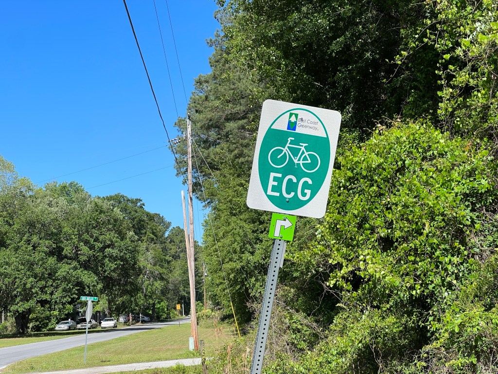
Then a few miles from that, I started seeing a lot of East Coast Greenway (ECG) signs. Again, nothing changed. I was still riding on the 2 ft. shoulder of a state highway with cars and trucks flying by me at full speed.

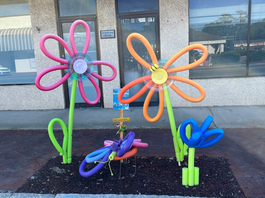
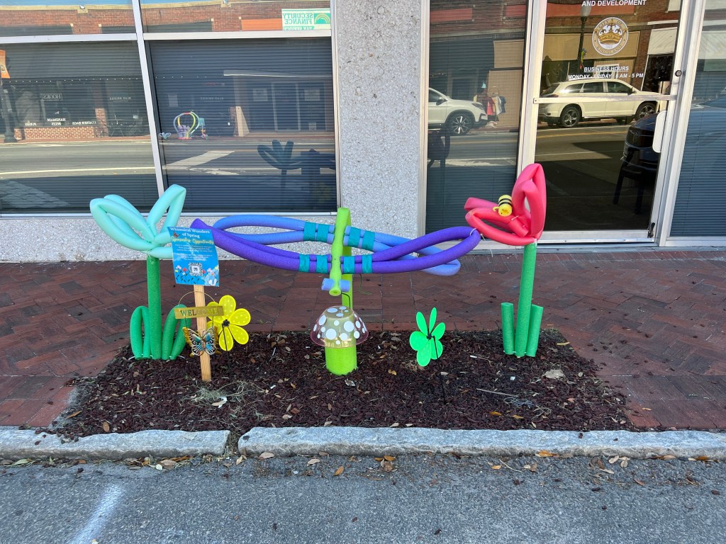
In Kingsland, the City of Royal Treatment, I didn’t feel any royal treatment, but I did enjoy the public art made of pool noodles. Can’t wait to do this with my grandkids. It takes a lot of noodles, so I hope I can find some inexpensive ones somewhere. Feel free to comment with a tip, if you know where that will be.

At one point, the ECG turned off the busy state highway onto a quieter, smoother road, and that’s when I knew I could make a phone call to my daughter, because now there was no road noise from trucks and cars speeding past me. I was hoping to hear about what they did for my grandson Noah’s first birthday in heaven. One minute into that call, I lost my cell phone signal, and it wasn’t just momentarily. It was for the rest of the day. No more T-Mobile service. Nada. No phone calls to my daughter, no Google Maps, no text messages, no steaming music or podcasts—just me and my bike, with me singing songs to myself (it would have helped if I could remember more lyrics) and trying to keep myself entertained. That’s what the old days were like, before people had all this technology. I’m glad I don’t live in the old days.

With all this free time for my brain, I started paying more attention to the scenery, which was lush forests, tree farms, swamps, occasional rivers, and occasional clusters of houses. I was routed onto the Georgia Coast Rail Trail for a few miles.

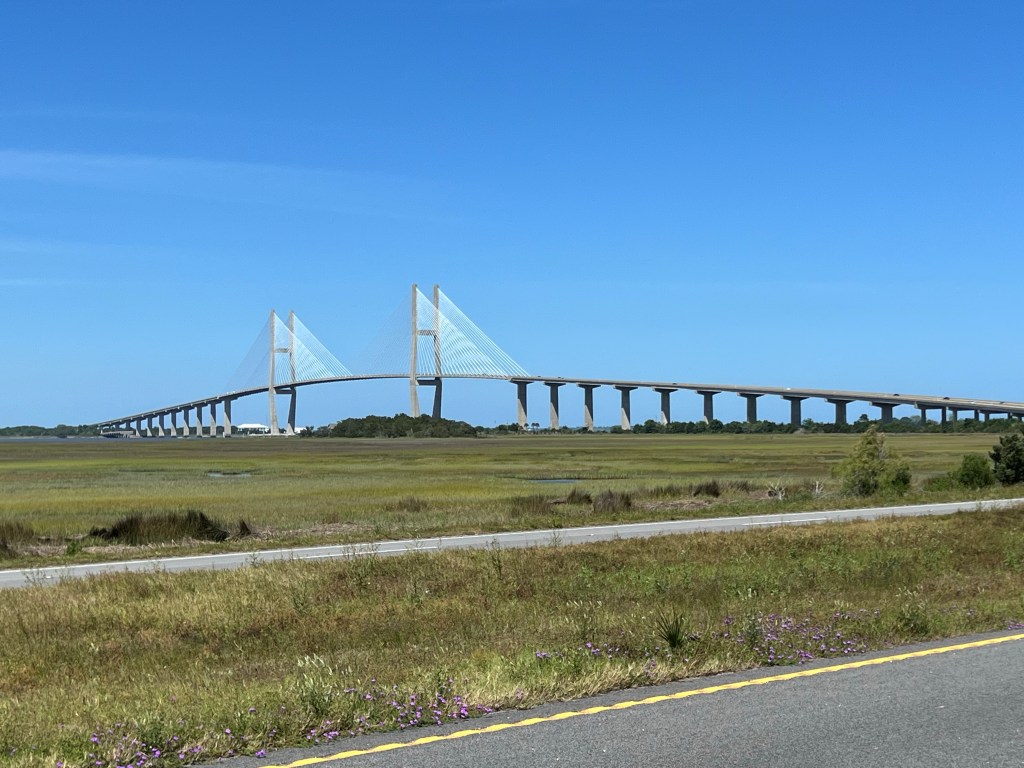
In spite of not having any technology to entertain myself with, between the changes in scenery and the rest stops, the day flew by pretty painlessly. Our big move of the day was crossing the longest spanning bridge in Georgia—the Sidney Lanier Bridge, which is almost 1.5 miles long. There were strong cross wind as I rode the almost 1.5 mile span, and I felt like I was hanging on for dear life, but alas, I made it across and lived to see another day.

Once we got to Brunswick, we cycled through the historic section of town on our way to St Marks Episcopal Church, where we were allowed to sleep anywhere on the ground floor.

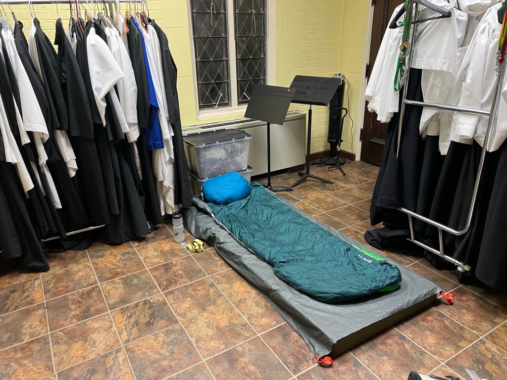
One guy slept in the nursery, one in the entryway to the church, a few others in the chapel, and others in the room where they usually have a preschool program. I slept in the Choir room and had my own private bathroom. As there was no shower at the church, the MS org made an arrangement with the local fire station, and we walked a block down the road to use their showers.

This is AFTER I ate two flautas piled high with toppings

Later, a few of us walked a mile or so to get some Mexican food. I ordered the Sampler Platter and almost busted my gut. Hope I don’t gain weight on this trip.

Tomorrow, we have another long day. Can’t wait for a day off or at least a short riding day!

4/20/23 – St. Augustine to Past Fernandina Beach, FL

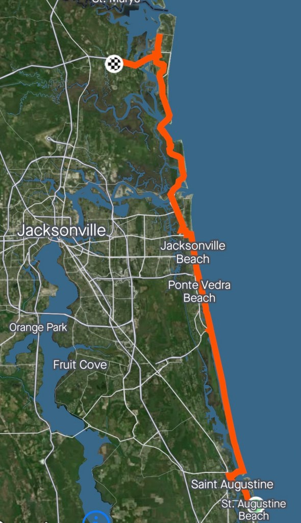
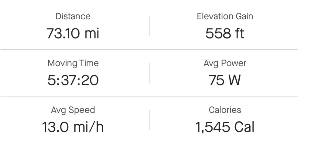
Miles: 73.1 Today / 614.53 Total
Elevation Gain: 558 ft. Today / 5031 ft. Total

As you know, today was the first day of riding with the Bike the US for MS Team, and it did not disappoint. After a comfee night in a Hilton Hotel room, we were all rested and ready to go, this morning. We met in the parking lot, and right off, a gal whose 29 year old sister has MS stopped to see if she could get a photo with us. BAM!
So we headed out to a nearby dock to get a group photo, and the whole “Stray Cat” theme seemed to be emerging, for those of you who rode the Southern Tier with me. Don’t get me wrong. Having a variety of personalities does make things more fun, but some things can take a lot longer, when you do.

After the obligatory group photo, we rode out together, and were quickly staggered out, based on how fast we moved. I might have been in the middle of the pack.

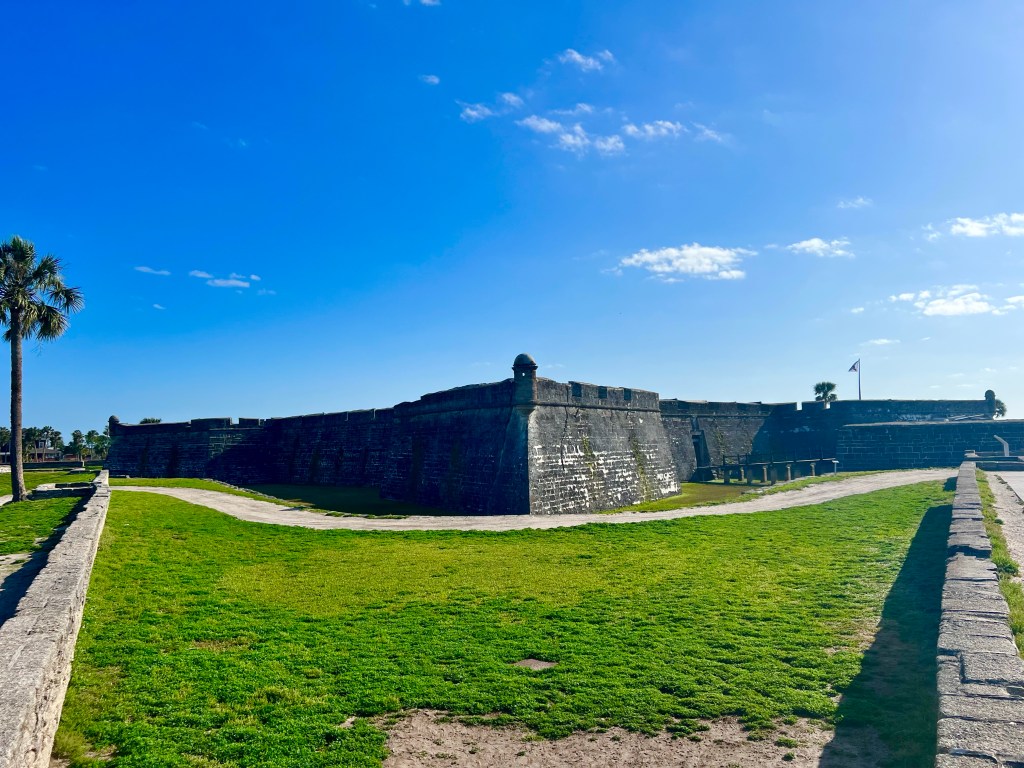
My first stop was Castillo de San Marcos, the oldest masonry fort in the US—built by the Spanish in 1695 to guard the north entrance to the Matanzas River.

Shortly thereafter, we crossed the Bridge of Lions over the Matanzas River aka the Intercoastal Waterway to a long sliver of land like those I’ve been riding on for days.

That’s St. Augustine from the bridge

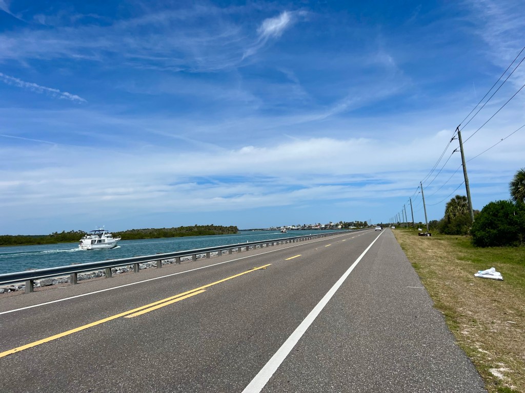
The roads and scenery on that narrow split were lovely. Not so many mansions—mostly homes owned by middle and upper middle class people.

So we were cruising along nicely, with just a gentle cross wind, when we hit a dreaded “Road Closed” sign. All the cars were turning around, but we are on bikes, and this was our route to take us 72 miles today, so going back and figuring out another route was kind of out of the question at this point.

One of the leaders of the MS org had already worked out a couple of alternatives. The first was to jump in the van and ride around to the other side, which would require 2 trips to shuttle us all and take over an hour per trip. The second, and the one we all chose, was to carry our bikes up a couple of flights of stairs to the beach access of a kind lady named Peggy, who lived in the house right there at the closure and coincidentally used to ride MS 150 rides.

We were slogging up those stairs within a couple of minutes, then pushing our bikes—mine being almost 30 lbs, but others around 16-20 lbs—down the beach for about 1/2 mile. It was high tide, so for the most part, we had to go through the deep dry sand, and let me just say that this was quite an unexpected full body workout for all of us, but we did it.

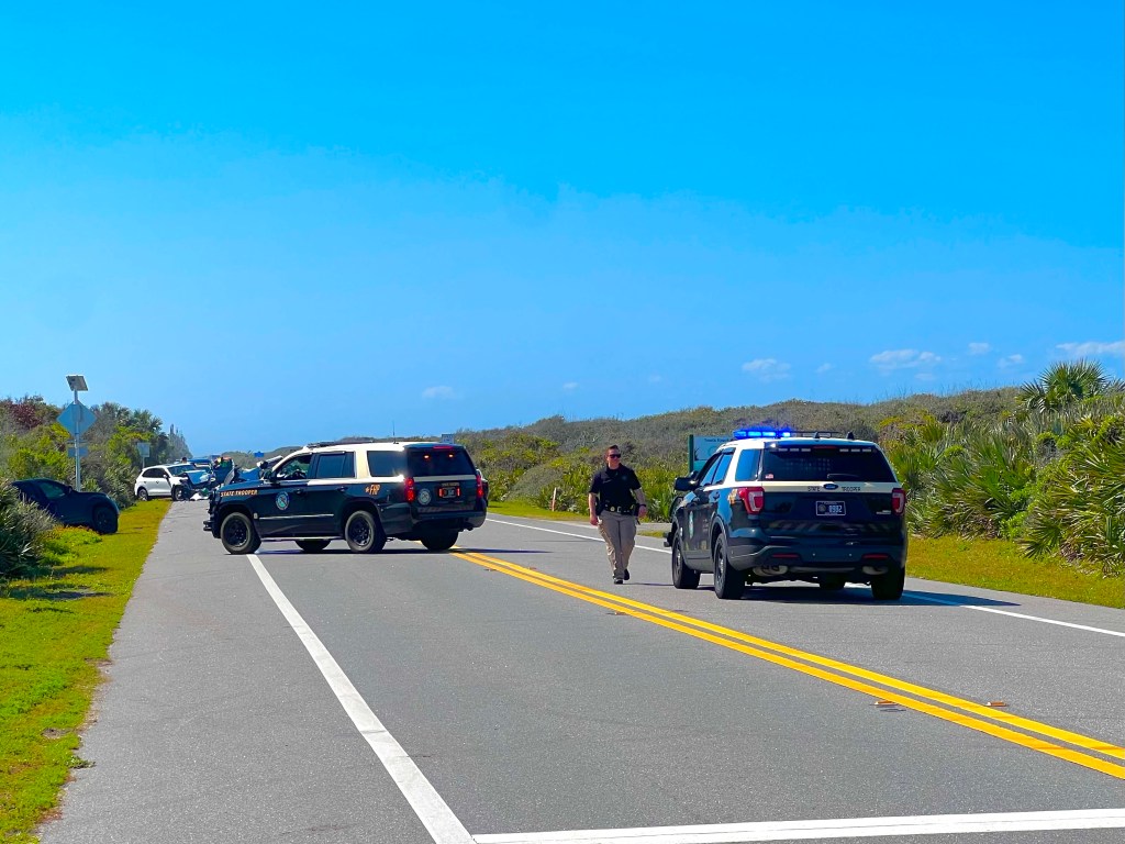
When we got to the next beach access—our exit—we were just past multiple police vehicles and a 3 car crash that was just a jumble of car parts. It was a 2 fatality collision, where 2 of the 3 drivers walked away, which is miraculous, considering the condition of the vehicles.

After that, the rest of the day might have been a blur, but when we got to Mayport, the ferry that usually runs every 30 minutes to take you across the St. John River was closed—till May 2nd! What the heck! Luckily, we are traveling with a van that took 2 trips to shuttle us riders to the point where the ferry would have dropped us off—a mere 50 minute drive.

We rode along the East Coast Greenway for a news miles. Nice, scenic, winding bike path

Fortunately, the rest of the day was uneventful. I learned the routine for the team ride, which is a rest stop with shade, chairs, cold water and our rest stop bins set up every 15-20 miles. Very nice! As we rode through Ponte Vedra Beach, Jacksonville Beach, Atlantic Beach and Mayport, I checked with 5 bike shops for the Stans sealant I need to get my rear tire back to being tubeless. No joy.
Calling ahead, I did find a shop in Fernandina Beach with both Stans and a mechanic with the willingness to take the time to help me with my tire. I stopped at that shop, and a sweet, kind mechanic named Ron Armstrong spent about an hour getting glass out of my tire and working to seal up the hole so it would seal and hold air. He sent me out on a test drive, and sure enough, it is good to go. Thanks so much for all your help, Ron, and for the interesting conversation and letting me be your little helper.

We spent the night in the very large open worship hall of Journey Church. They run a big food bank operation, so we had access to a kitchen, which was very nice. We all just laid out our sleeping pads and sleeping bags and made a little nest next to our bikes. But sleeping was a different matter It took me a couple of hours to finally doze off. There are no heavy duty snorers in the group—just a couple of guys who snore in loud spurts, but that’s all it takes to keep me up.

4/19/23 – Ormond Beach to St. Augustine

I ‘m getting bold and putting that pretty please donate link up here. Try clicking it. There is content behind it.

Miles: 43.9 Today / 541.43 Total
Elevation Gain: 197 ft. Today / 4473n ft. Total

It was a late start, this morning, due to all the quality discussion with Clinton. After posing for a photo with him and one of the Sphinxs in his front yard, I bid him farewell and peddled toward the Granada Bridge, which took me over the Intracoastal Waterway and Halifax River, connecting Ormond Beach with the long peninsula of land east of it. Riding along the Atlantic Ocean, the Halifax River, then later the Matanza Inlet—it was scenic beachfront for most of the day.

After crossing the bridge, when I turned northward, the reality of today’s weather hit me like a freight train. More headwinds! Are you kidding me? My Weather Channel app showed winds out of the east, but for my entire ride, they were coming from the north or northeast and I was going north. And I was under the gun. I had to be at a MS rider meeting at the St. Augustine Beach Hilton Garden Inn by 2:00 PM, which gave me exactly 4 hrs 15 minutes to make it there and meant no time for fiddling around, no time to stop and eat, and very little time for taking photos. But you know me—I work well under pressure. I had my eyes on my Garmin every couple of minutes, just making sure I wasn’t slacking off, or I’d be late for the meeting.
The ride along the coast was lovely, moving out of luxury resort areas, with nothing but high rise condos and gazillion dollar homes, to towns with normal people living in them and more simple homes scattered along the coast.

There was lots of beautiful ocean and inlet scenery, and a balance of the whimsical stuff I love to see, nature preserves and historic sights.

I came across a memorial for the massacre of 300 French people by barbaric Spanish soldiers who were trying to keep the French from occupying the inlet. The Matanzas Inlet is named after this event. The word Matanza supposedly means massacre.

Then a bit later, I ran into the Fort Matanzas National Monument, where you could take a ferry to Fort Matanzas on the other side of the inlet. I had time to check out the historic site, but the ferry? No way. I had to keep peddling to make it to the meeting. I was 15 minutes early—time enough to take a Covid test and sign some last minute forms.

The meeting lasted a couple of hours and consisted of the obligatory introductions; a safety briefing; tour of the rest stop van with its cubbies for drinks and food to be eaten throughout the day, where the van waits at designated rest stops; and brief tour of the trailer with cubbies for food and gear. We staked out cubbies for ourselves, and when the meeting was over, everyone got to work settling in.

We all had rooms at the Hilton. Being the only female rider, one of the leaders from the organization asked me if I would be willing to share a room, so none of the guys would have to sleep on the floor (there was one room with 3 guys in it.) I wasn’t hip on the idea of sharing a room with a complete man stranger and was given the option of saying no, so I did.

A little while later, while I was working on my bike adjacent to the trailer with all our gear in it, the guy who got floor duty came to the trailer to get his sleeping bag and pad. He’s a fella named Nick, who is a retired family practice physician. He now practices medicine on migrant people and donates his salary to Bike the US for MS, and he also volunteers as the Bike the US for MS physician. Pretty noble, don’t you think? probably shouldn’t have that guy sleeping on the floor. I offered him the other bed in the room, and he was grateful. And it all worked out well.

Tomorrow, we ride out together to get a group photo at a nearby pier, before we embark on our first day—71 miles of joy and togetherness.

4/18/23 – Mims to Ormond Beach

Miles: 71.23 Today / 497.53 Total

Elevation Gain: 614 ft. Today / 4276 ft. Total

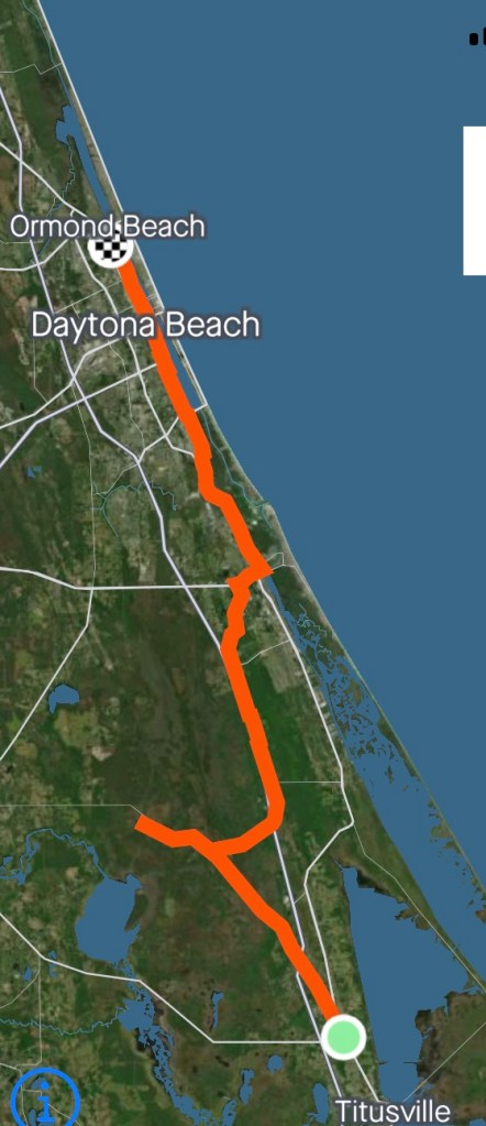
Today was the day of great rail trails. I started out on the Coast to Coast rail trail, which ran right along side the Warm Showers at the Methodist Church Mims, then zoned out on a podcast and missed the turn onto the Central Florida rail trail, riding an additional 8.5 miles total out and back on the same rail trail, when I should have taken a right turn onto the Central Florida Rail Trail. This was going to already be a long enough day, without adding more miles to in.

And let’s just talk about the weather for a minute. The rain brought cooler weather to Southern Florida, so the high today was only 74, which made for some very comfortable riding temperature wise. However, the wind was another matter, with headwinds started out at 8-11 mph in the morning, then increasing to 14-16 mph as the day wore on, which made for slow going, as I plodded up the route.

The rail trails delivered me to New Smyrna Beach, a cool little town with a nice vibe and artsy moments. Indian River begins on the south end of New Smyrna, so it was goodbye to that body of water and hello to the Halifax River and Intracoastal Waterway, my new waterfront to ride along. There were still some pretty fancy houses here and there along this river, but there were also sections of houses that were a bit more proletariat than anything I’d seen to this point—as in double and single wide mobile homes, at one point.

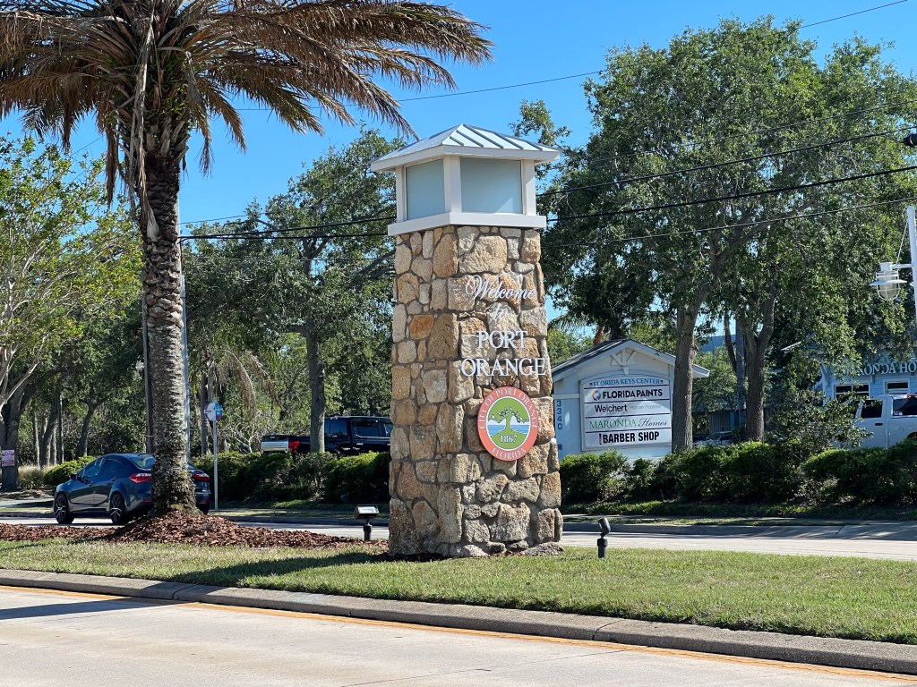
I passed through Port Orange and Daytona Beach, before arriving Ormond Beach, a nice normal looking little town. My Warm Showers host, Clinton, welcomed me to his home and helped me bring my bike and gear into the living room for the night. Just where it should be, right? I love that thinking!

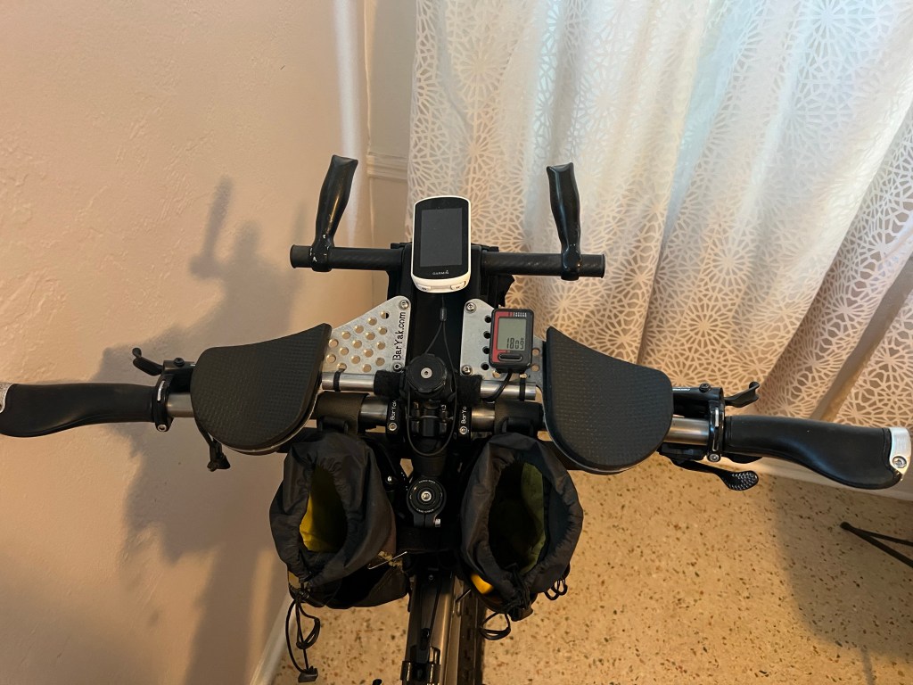
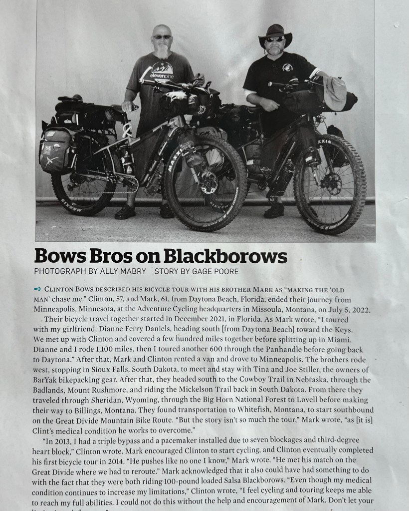
Clinton and his brother rode this bike and identical setup on a major tour the did that included part of the Great Divide Mountain Bike Route. (That’s on my short list of things to do.)

Clinton became the main event of my day, because he was so hospitable. I mean the guy is a pro at this hosting business. We had a lot to chat about: Bike touring, bikes, tents, bike packing gear, tips & tricks, cool trails, etc. Amongst bicycle tourists, Clinton is famous, after begin chosen, along with his brother, to have have his photo and story published in the Adventure Cycling magazine. You can zoom in and read it here.

And above all, the guy can really cook up an amazing meal. Fajitas for dinner (yum!) and a veggie omelet and fresh fruit for breakfast. Why didn’t I take photos of them? I was in heaven. Best meals I’ve eaten since starting my ride. Thanks for taking such good care of me, Clinton. Remember where I wrote my phone number, in case you ever get out to the Phoenix area.

Tomorrow, I’ll be riding into St Augustine to meet up with the Bike the US for MS team. I’m looking forward to it!

4/17/23 – Long Point Park to Mims, FL

Miles: 65.15 Today / 426.3 Total

Elevation Gain: 551 ft. Today / 3662 ft. Total

Just to follow up on last night, my clothes and shoes were all soaking wet this morning and, as my good friend Jacki Paul’s Mother used to say, “Wish in one had and _ _ _ _ in the other, and see which one gets full first.” The weather was worse today. Much worse. So much for wishing and hoping.

I was awake pretty early and, now that it wasn’t raining and dark, I was able to take a photo of my campsite. After eating my breakfast (steel cut oats with raisins, walnuts and pepitos stirred in, in case you’re wondering), I got dressed, packed up my campsite and hit the road.

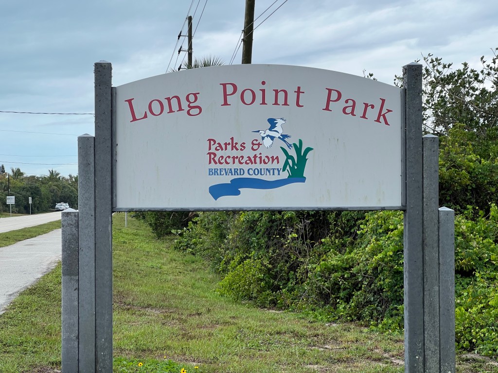
Just as I stopped to take a photo of the sign at the entry to the campground, a couple of fully loaded guys, also riding northbound, spotted me and stopped. They were French, and because if that, I couldn’t understand them well enough to catch whether they were from Canada or Europe. Regardless, they seemed to want to chat, but I needed to be peddling, because the weather prediction was 1000 percent chance of rain in the morning, then headwinds of 16-18 mph in the afternoon, which, if you’re not a cyclist, is brutal. I cut off the conversation abruptly and peddled off, and within a minute they were both passing me. What? Way to rub my whimpiness in, guys. The wind was already 13 mpg, so once they passed, I thought I should catch up and draft off of them, but I couldn’t catch them, which takes us back to my whimpiness…..

Within a minute of riding away from the campground sign, it started raining—lightly—and the steady headwind and rain continued until 2 PM. I passed Coconut Point Preserve, but taking photos was out of the question, because it was raining, and my phone’s giving me the message that my lightening port has water in it. So I didn’t pull my phone out until the rain stopped.

A good part of the route was adjacent to either the ocean or Indian River, and the water was super choppy. About the time the rain stopped, the headwind picked up to the 16-18 mph that was forecasted, and that’s when I realized that I would rather be rained on than face a tougher headwind. I was actually hoping the rain would come back, because that wind was so brutal.

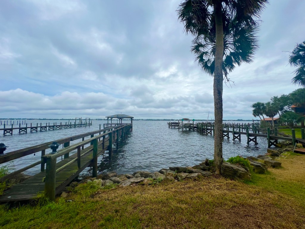
The road separated the houses from the waterfront. It looked like almost every home had a dock.

The route turned me onto two narrow, shoulderless roads winding along the waterfront of some snazzy residential areas. Indian River Rd and later Rockledge Dr meandered up and down little hills and through frequent unavoidable puddled water, and my feet were soaked, and I was not enjoying the puddles or hills, so I got off the route and rode on Highway 1. It had a nice bike lane, but also a lot of traffic, and there’s no way to listen to music or podcasts when you’re in traffic, so the time passed very slowly as I pedalled against that blasted wind, and getting to my destination took FOREVER.

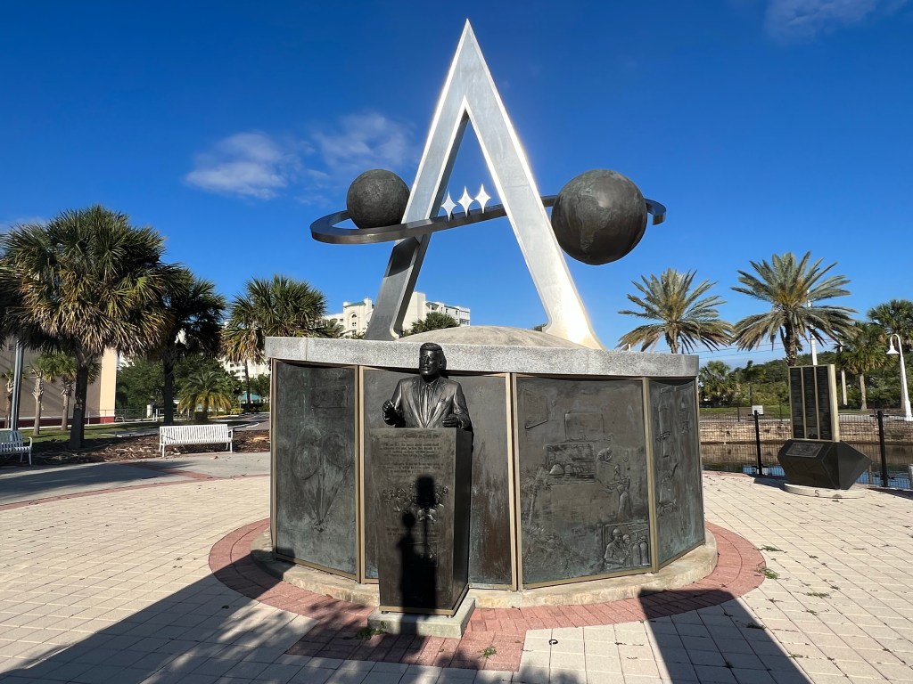
In Titusville, I stopped at Space View Park, which honors the people and corporations involved in the US space program. Pretty interesting stuff.

My favorite Champion of the Space Program—JFK.
You can zoom in and read what caused the demise of each of these people on this Line of Duty memorial. Message me if you would like to see the other three sides of the memorial. The stories are so sad.

After Titusville, the Coast to Coast Rail Trail, which took me directly to the Methodist Church in Mims, which hosts cyclists like me via the Warm Showers website.

That big long patio is where I strung my things out to dry.

My hostess with the mostess, Cathy, was super accommodating. I strung my tent and wet clothes all over the front patio to dry out from the previous night’s storm, pulled a hose around to the back of a building to give myself a cold shower, and got to sleep indoors on the floor of the room they have set up for cycling guests. I kicked back, relaxed, then turned in early—the most relaxing evening of my trip.
Continue reading “4/17/23 – Long Point Park to Mims, FL”

4/16/23 – Hobe Sound to Ling Point Park

Miles: 71.23 Today / 361.15 Total
Elevation Gain: 614 ft. Today /3111 ft. Total

Late start today. I woke at a reasonable time, but just had to keep chatting with Nessa, and it was hard to get out the door, between hearing about her gear, scheming on a bike ride together, and watching her mobile app French class, but I finally did. It was going to be a long day, and I wasn’t anticipating anything out of the ordinary weather wise, but I got surprised.

Pretty shortly after I left Nessa’s house, I found myself on a bike path winding its way through Seabranch Preserve State Park. I rode past some desert tortoises and a bunch of local plant life—nothing super spectacular.

As I exited the preserve, I ran into a cyclist named Serje, from Quebec, who was also fully loaded. We talked for a few minutes, and I learned that he is not following the Adventure Cycling maps. So, as could be prediced, after riding together for a couple of miles, our routes parted ways, and so did we.

The miles after the nature preserve were along the coast to and through Port Salerno and Stuart. After crossing the two bridges over Jupiter Inlet, I spent the rest of the day cycling up Hutchinson Island, which is actually a group of narrow barrier islands parallel to the coast and east of a body of water called Indian River, that is not really a river. I looked it up, and it’s considered a lagoon and estuary, whatever that means.

In the almost 50 miles I rode on Hutchinson Island(s), I ran into just one very small town with a CVS drug store and in dual reactor nuclear generating station (perfect location for dumping contaminated water.)

Scattered down Ocean Drive, the road that runs through the island(s), are one 7-Eleven, no grocery store, 3 little markets, and a handful of restaurants separated by great distances. Everything else was luxury homes, resorts, condos and apartment buildings. I guess if you want food, you go to one of the resorts to get it. You can see where this is going, right? I was hungry and there was no food to be had.

At one point, I got lucky and there was no bridge to connect a couple of the islands, so I had to cross a bridge back to the mainland to the town of Fort Pierce, and right there on the corner was a McDonalds. I grabbed a quick lunch and got back on the road, because I still had a lot of miles to knock down. After riding a little over a mile on the mainland, it was time to cross back over to Hutchinson Island again, and now I was seeing signs for the Navy Seal Museum. Being a buff of all things military, I had to stop and check it out.

Read this to understand why the Marine in the statue is wearing hot pants.
On display in the Navy Seal museum is a U.S. Army helicopter. Go Army!

When I left the museum, it was 3 PM, and I still had 30 miles to ride to get to my campground. A nice tailwind was picking up, and I was able to average 15 mph, which is some nice speed for the heavy rig I’m pushing down the road. I was flying down the road and loving it, but then it started to sprinkle on me. Then the sky up ahead turned dark. Very dark. And that’s when the lightning started to strike and then rumbling thunder. I kept checking my weather app, and it was saying the chance of rain was 23% now, but 50% in an hour. I had 5 miles left to go, and the sky was now almost black. The adrenaline kicked in, and I was now going 18 mph. About a mile from the campground, the skies opened up and a torrential shower broke loose, with lightening striking all around me. It was pretty darned scary. Within seconds, I was completely soaked.

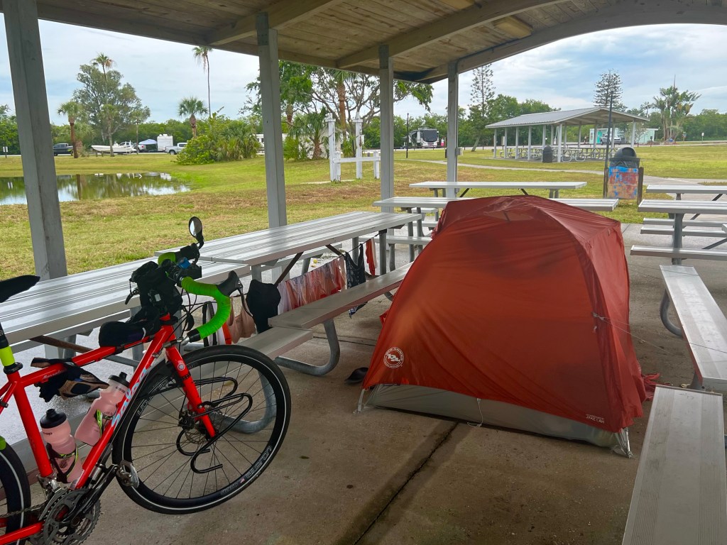
Drenched, I parked my bike under an overhang and drug myself into the office of the campground. I must have looked pretty pathetic. When I asked if they had any pavilions that weren’t being used, the girl behind the counter didn’t hesitate to point one out to me on the map. The adjacent pavilion was reserved by some people who sat in their cars for about an hour, waiting for the rain to stop, then gave up. They should have just checked the weather forecast. It’s going to be pouring and rumbling all night long.

I set my tent up on the concrete pad, changed into dry clothes, hung my wet clothes out to dry, then cleaned and lubed my chain. Umm…..what are the chances my clothes will dry, with all they water and humidity?
Hoping for better weather tomorrow as I continue riding up Hutchinson Island toward Mims.

4/15/2023 Boca Raton to Hobe Sound

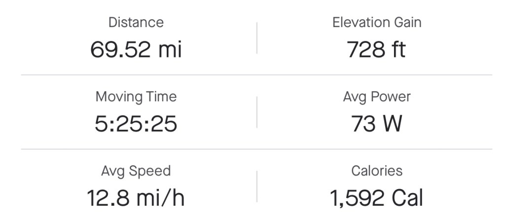
Miles: 69.52 Today / 289.92 Total

Elevation Gain: 728 ft. Today / 2497 ft. Total

Holy Cow! Today seemed so busy, but now I can’t figure out what made it feel that way. Could it have been all the miles I rode? Or was it the chatty cyclists I ran into while I rode today? It was Saturday, and there were a lot of cyclists out on the same exact roads I was riding.

An hour or so into my 61+ mile day, a fella who recently retired and moved from California to Florida rode up next to me and started a conversation about bicycle touring. He’s been on several solo self supported tours, and it was fun to talk about the places we’ve been. Very few people have ever experienced being on a cycling road trip like this or can even relate to the challenges and rewards. It was great talking to the guy, and he helped make 45 minutes of riding pass by painlessly.

A little while later, my GPS was telling me to make some turns that didn’t make sense, so I pulled over on the side of the road to figure out where the heck I was on the paper map and see if the GPS track was wrong (does any of this make sense?) This time a fella named Andrew, from the neighborhood I was stopped in, called out to see if I needed help. I told him where I was headed and he basically said, “Follow me, kid. I’m headed that way right now.”

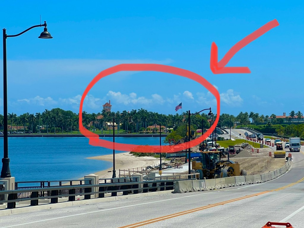
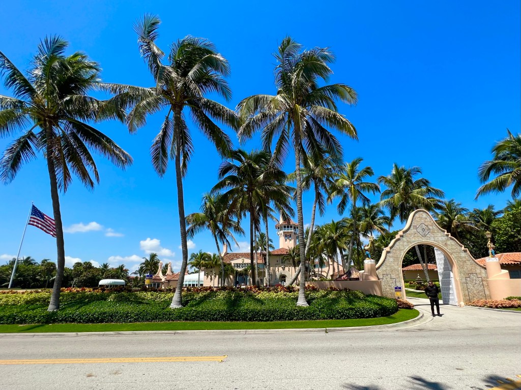
He showed me the way, then took me on a private tour to see some sights—like Mar-A-Lago, some spiffy neighbourhoods where ultra rich people live along nice smooth hardly traveled roads, etc. We were chatting it up and having a great time talking about Florida politics, our exciting personal lives, etc. when suddenly and abruptly we reached…..what??? The end of a 3-4 mile long peninsula?

That’s Mar-A-Lago from the bridge they had to close when Trump was coming and going.
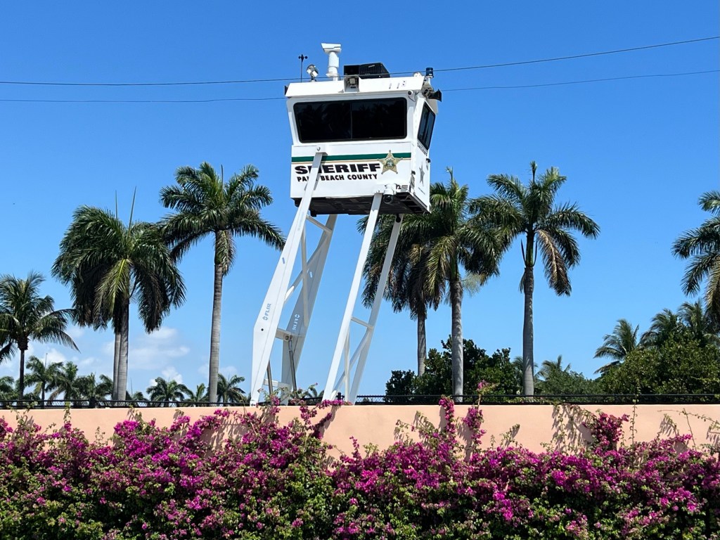
Part of the security on site

Turns out that Andrew hadn’t ridden that far up the road before and didn’t know that the road doesn’t go through. Bummer! The route back to the bridge, that could take us to a road that did go through, was 3-4 miles long, but we found a super nice bike path along the waterfront of that super spiffy neighborhood. It was scenic, easy riding and more time flew by. It was fun riding with you Andrew! The highlight of my day.

Thanks for the great conversation and for showing me so many cool places. P.S. Did you notice that that young photographer wasn’t that good of a photographer? Note to self: Next time, stick with a selfie.

After spending a bit of time goofing off and riding off route, when I parted from riding with Andrew, it was time to buckle down and cover some miles. But now it was REALLY hot and humid out. After riding only 7 miles, I had to stop for a Subway meatball sub and a few refills of a soft drink to attempt to hydrate myself. Okay, now I was out of excuses for goofing off. I hit the road and kept jamming those pedals.

After riding along a busy beach for several miles, then some busy parks, I found myself in the town of Jupiter, where Tiger Woods and some other gazillionaires live and golf. The ACA route went right up Jupiter island, which is basically one long, narrow street, with multi million dollar mansions on each side of the street either backing up to the Atlantic Ocean or an inlet.

Most of the houses had names on the signs, and I must confess that I didn’t recognise ANY of the names. That’s how out of it I am, when I comes to staying on top of the rich and famous.

Just a couple of miles from the end of Jupiter Island is where Nessa lives. Bruce, her tall, handsome, single neighbor below, welcomed me and invited me in to take a shower, while we waited for Nessa to arrive home from work. Okay, let’s see now. What do I do with that kind of proposition? I hemmed and hawed and didn’t take him up on it. Instead, I fiddled around with my gear until Nessa arrived. And this is what you know immediately, when you first meet Nessa: She is a very beautiful, fit, positive, high energy, kind woman. My kind of girl!

Bruce had ordered up pizza and mixed up a most excellent salad. He made sure us girls had time to talk, because there was important business at hand for us. Nessa has never been on a ride as long as the one she is soon to embark on with Ed, so we went over her gear, then ran through my gear list to see if she had all the angles covered. And she does. She is well prepared, with much less gear than Ed and I carry around. She’ll do great!

And after looking at her photos and hearing about her solo ride of the GAP (Greater Allegheny Passage) /C&O (Chesapeake & Ohio) Canal towpaths, which have always been on my bucket list, when I get home from my ride, I will be looking at my summer schedule to see if I have time to fly back out and cycle them with her. She’s willing to ride it again, and I would love to do it with her!

Nessa and Bruce: It was great to meet you both! Thanks for your kindness and superb hospitality! I look forward to seeing you again some day!