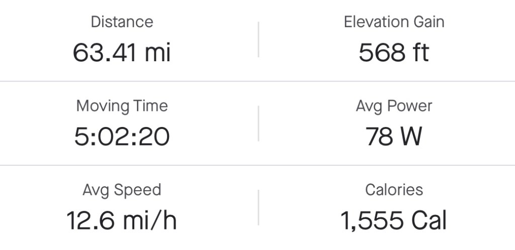
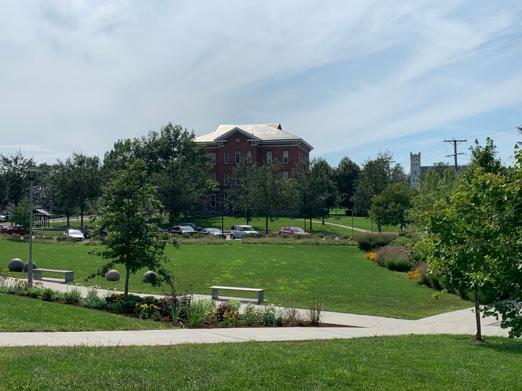
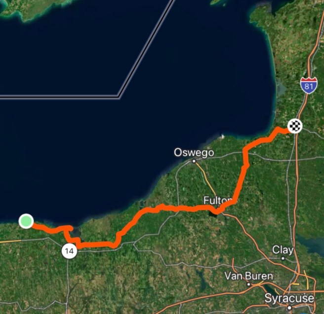
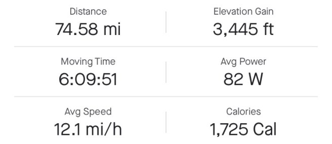
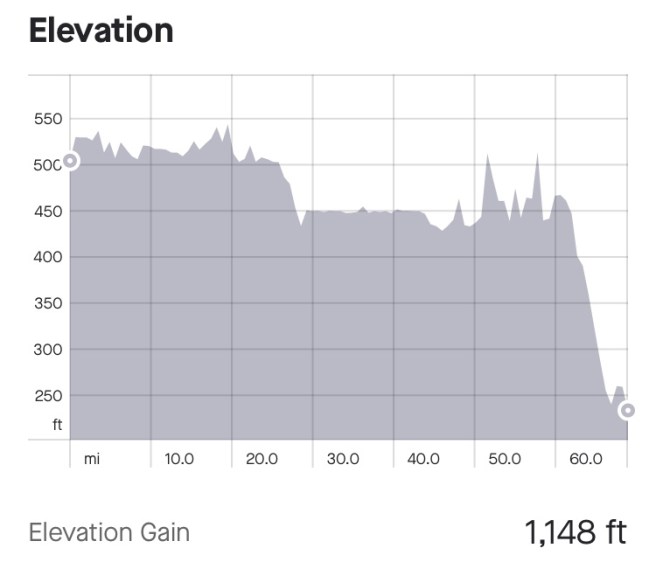
Miles: 56.27 Today / 220.4 Total
Elevation Gain: 505ft. Today / 1760 ft. Total
It was really hard getting to sleep, last night. It was so blasted hot and humid (my weather app said 80 degrees, but feels like 84), and I had that early drive back to the Miami Airport Car Rental Center in the morning. Earlier, I had decided to save a bunch of time and not put my tent and sleeping kit up and instead open the windows of the car, recline the seat and sleep there. I mean, there are so many times when I pull into my garage and am so tired I fall asleep in my car for 1/2 hour or so, so this should work, right? Wrong! I was pretty comfortable reclined in the seat, and there was a ton of legroom, but I was having anxiety about making today work and just could not fall asleep. I checked the driving time to the rental car center, and at 1:30 AM, it was 3.5 hours. At 7:30 AM, it was more like 5.5 hours. Bam! I turned o the engine and start driving. My plan was to drive till I got tired, then pull over in a hotel parking lot and doze.

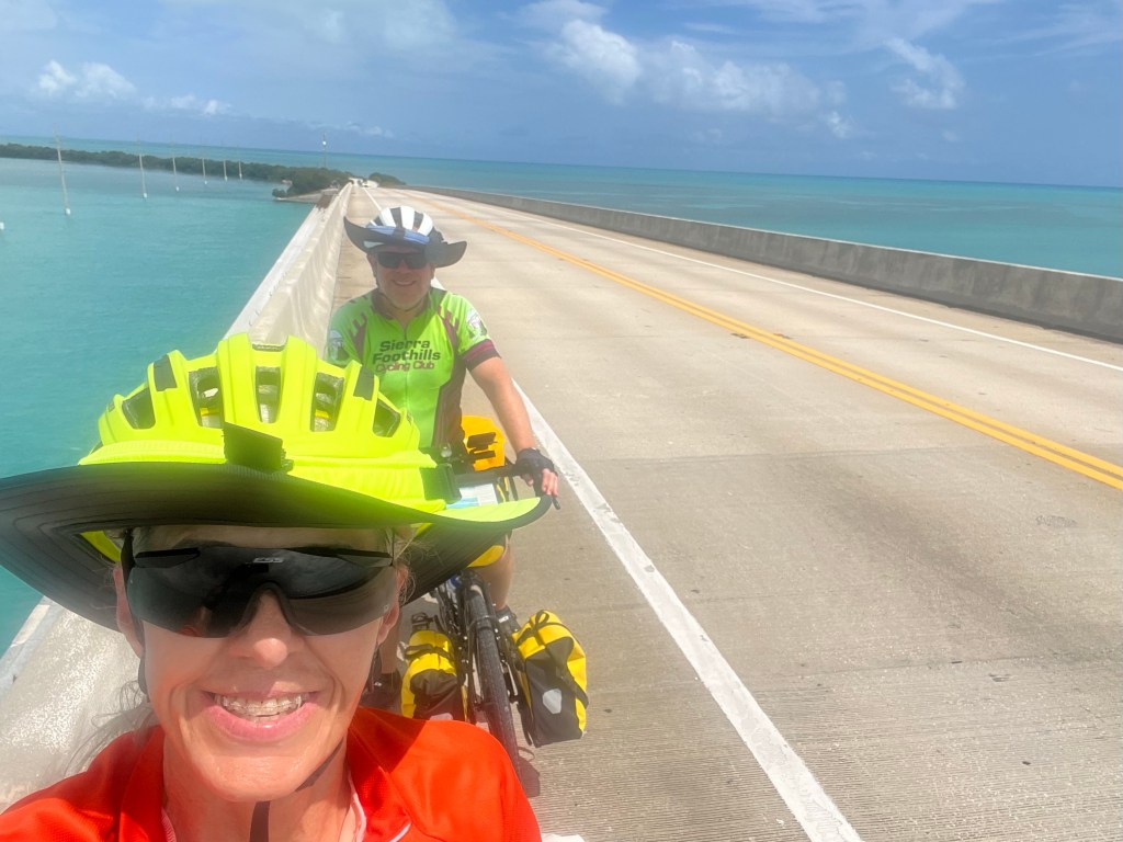
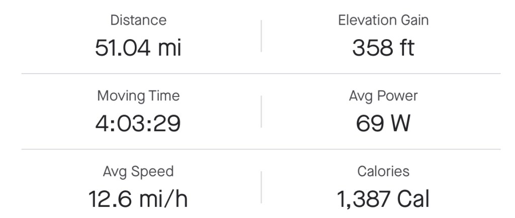
I and 3
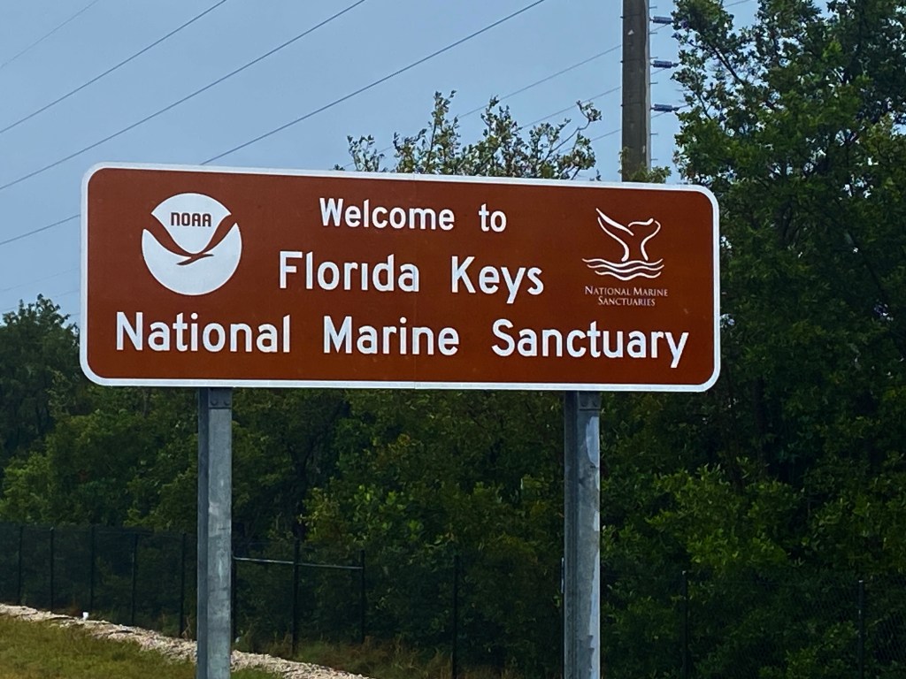
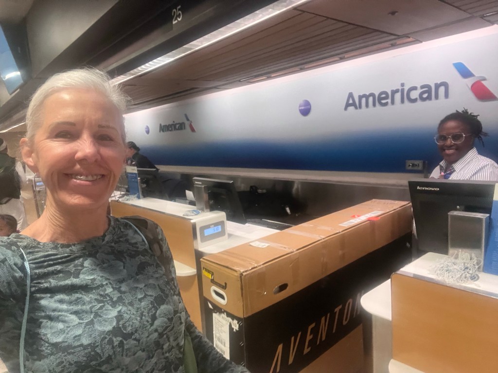
I and 3 – 4 semis and box trucks had the entire road to ourselves through the entire Keys, and we were flying along much more quickly than Google Maps had predicted. I’m pretty sure those trucks do this all the time, so I trusted their knowledge of the local speed enforcement. As I approached Miami, what previously had been traffic congestion and a slew of red lights was now very few cars and mostly green lights. In 2.5 hours, I was a mile from the rental car center. I could have turned the car in, but I still needed sleep, so I pulled into the parking lot of an IHOP and conked out for 5 very restful hours. When I woke up, I put on my cycling clothes, ordered up some crepes for breakfast, then headed to the rental car center. Once there, I reassembled the bike, loaded up all may bags, turned in the rental car, and rode off from there.

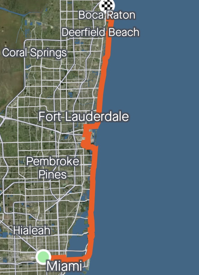
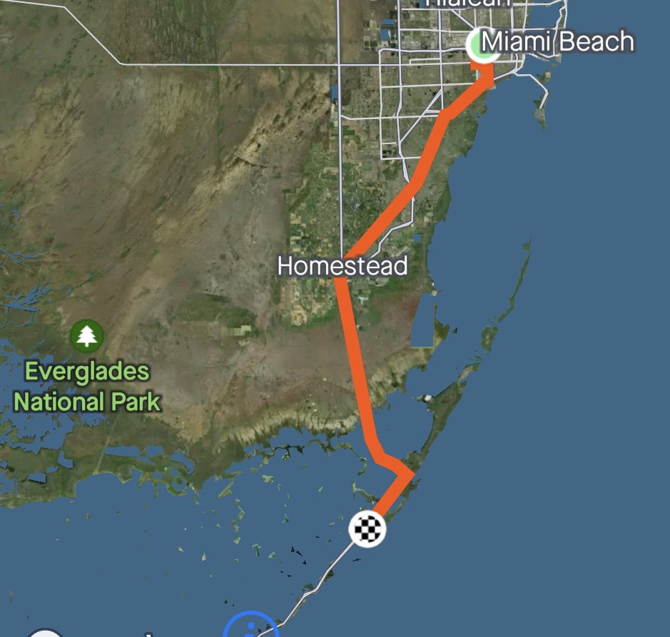
Airports tend to be busy places, but on my second trip out of the rental car center, the traffic was surprisingly lights. And the ride was surprisingly pleasant, Google Maps routed me through a quiet industrial area on some lazy back roads, but once I crossed the causeway into Miami Beach that all changed.

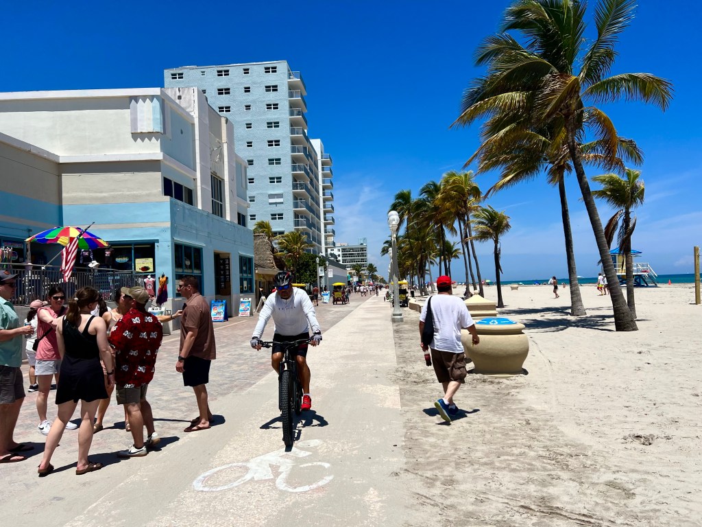
This is a very busy place with lots of traffic. LOTS of traffic, but also lots of bike lanes as well as a right car/bike lane that says it is for bikes, but is usually occupied by cars and delivery trucks.


This is also a place with a LOT of resorts and high rise towers.

For the entire day, the riding fluctuated between bike paths or less trafficked areas and high traffic areas with a narrow shoulder. There was also some beachfront riding, which was VERY challenging, due to the number of people out enjoying the beach and boardwalk.

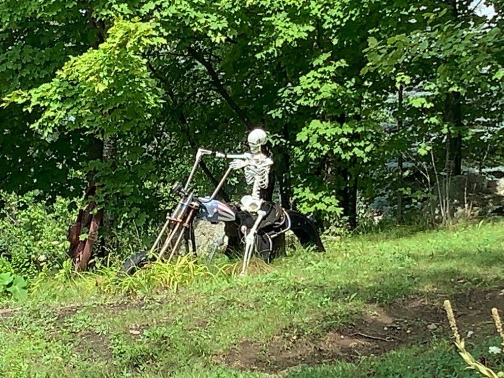
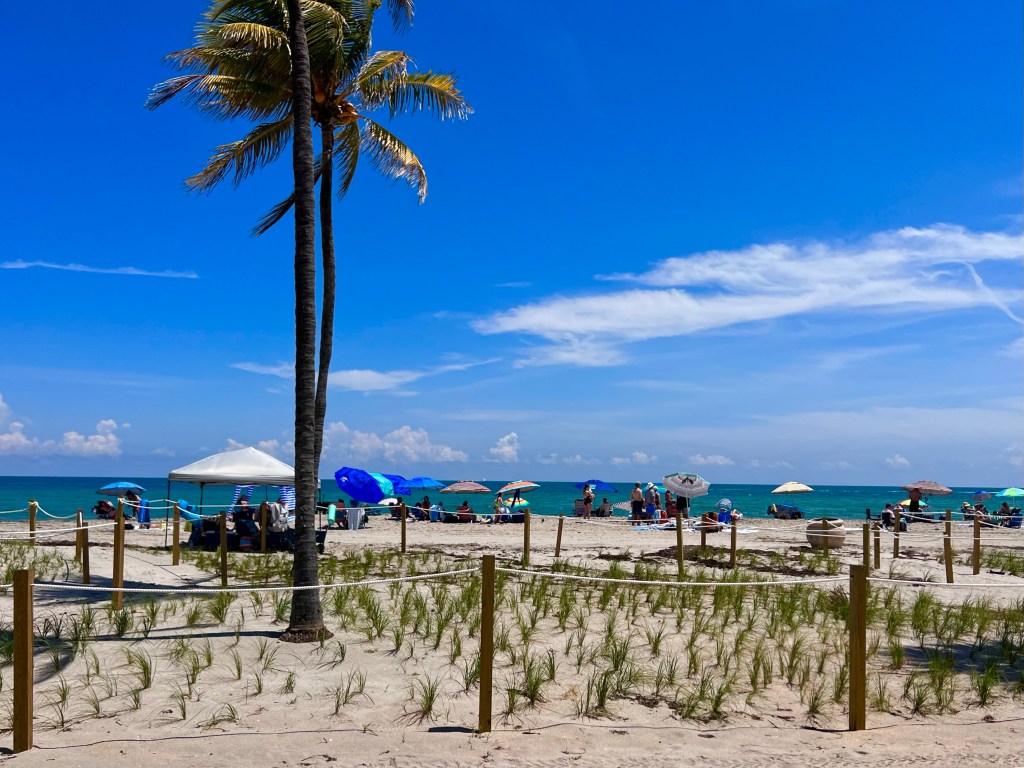
One other thing I saw a few of were turtle nesting areas, like the one below. Nesting turtles need a lot of protection, eh?
As I approached Ft. Lauderdale, I was concerned about my route being flooded out, but I’m pleased to announce that I was not detoured at all. There were a few puddles, a few broken branches and a lot of eaves blown onto the road, but most of the storm damage had already been cleaned up, which is amazing. I did pass one small mobile home park with a huge pool of water and a lot of wreckage that may have been there before the storm. Or not. I didn’t actually hear anything about a hurricane or tornado actually hitting ground.
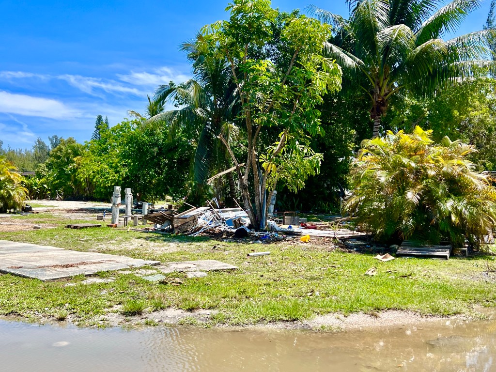
I also passed a business, where all the employees cars and the large building that housed the business were in 1.5 – 3 feet of water. An employee who saw me snapping a photo stopped to talk and told me that everyone was in good spirits, but that the business was self insured. I hope the owners are wealthy.

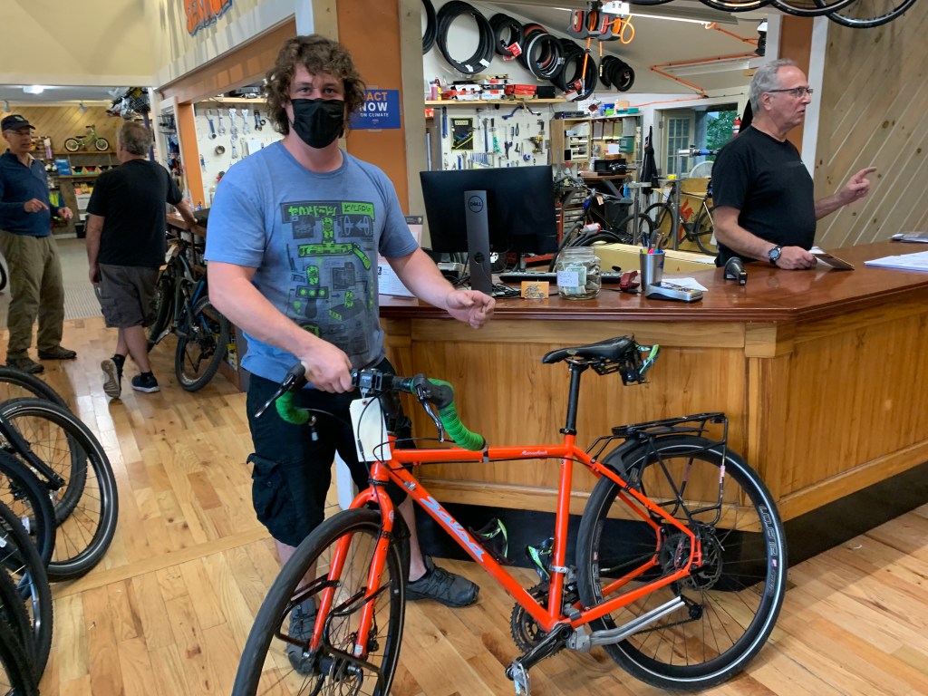
When I arrived Boca Raton, I dropped my gear off at my Airbnb lodging for the night and got some recommendations for a local bike shop and some ice cream. The bike shop was less than a mile away, and it’s mechanic was a female who really knows her stuff. She fiddled around with my brake and derailleur adjustments to cut out some annoying sounds and shifting difficulties, but was unwilling to take the time to help me convert my rear tire back to tubeless.
From there, I rode another couple of miles down the road to Sloan’s—the ice cream shop where Jonathan, Jr., the son of my Airbnb, host works. Oh my goodness! Their ice cream is homemade, and it’s richer and tastier than anything Ben & Jerry’s cooks up. I ordered a pint with 3 different flavors in it, then had to race home to eat it before it melted. Complete Nirvana! I spent a few hours working on hosts and arrangements to meet friends up the route, watched Ted Lasso (can’t fall completely behind on my TV viewing), and fell asleep working on my blog. No sense of urgency with the blog. My host provided wifi information, but the was non responsive when none of worked, so I knew the blog was dead in the water for the evening.
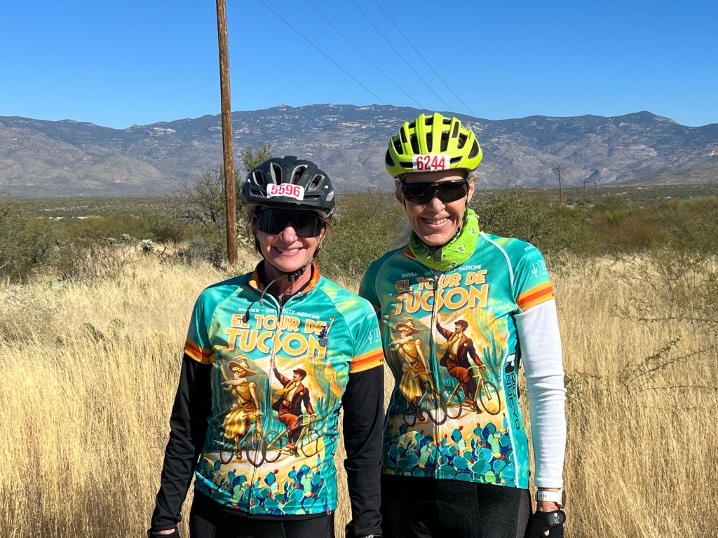
Tomorrow, I’ll be meeting up with one of Ed’s riding partners—a buff studette gal named Nessa, who is a couple of years younger than me. I’m hoping she and I can do some tours together in the future. Maybe one of the Eurovelo routes, right Nessa? Can’t wait to meet her!