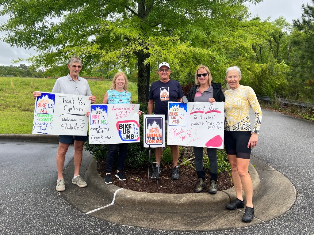
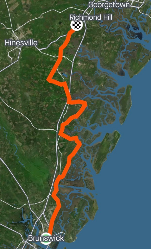
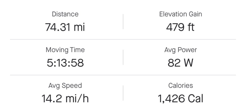
I’d like to say that I slept in today and lounged around eating bonbons, but you know that would never happen. I stayed up late getting caught up on Ted Lasso (loved the bike connection with Roy Kent), but was only able to sleep till 8:00, when someone woke me to see if I wanted to go to breakfast with the team. Grrrr! I was ready to go in about 2 minutes. Had a great bagel sandwich for breakfast, then headed back to the church to get my chores done.
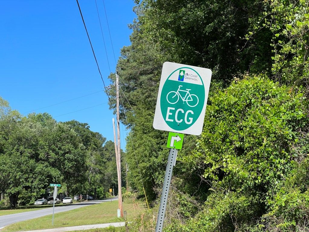
The mud splatter from the rain had to be cleaned off my bike and the chain re lubed, and I had to get my gear ready for tomorrow.
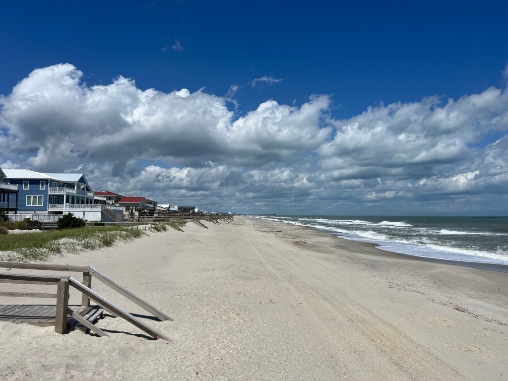
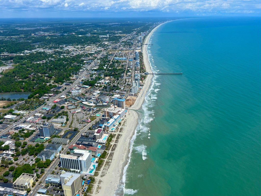
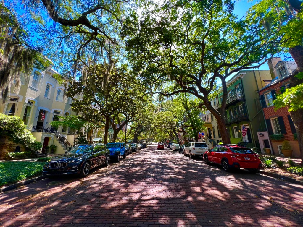
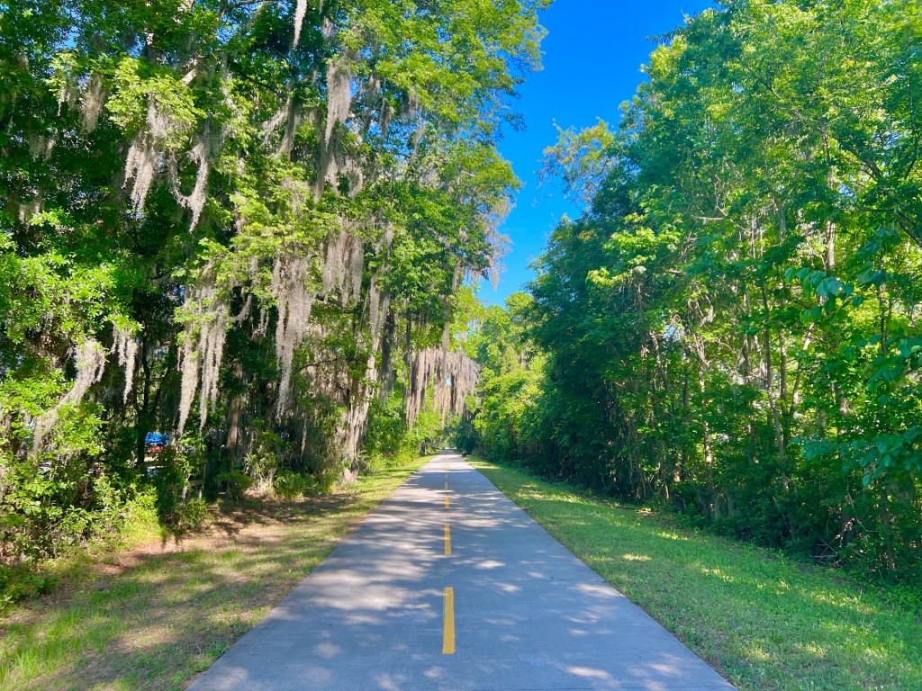
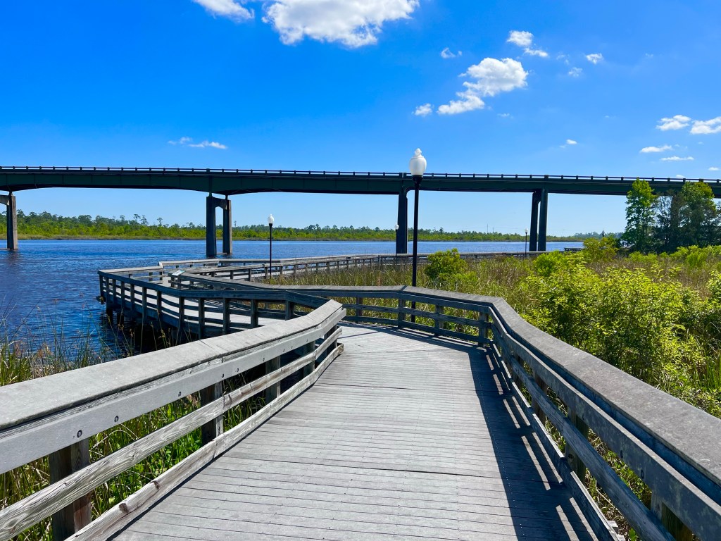
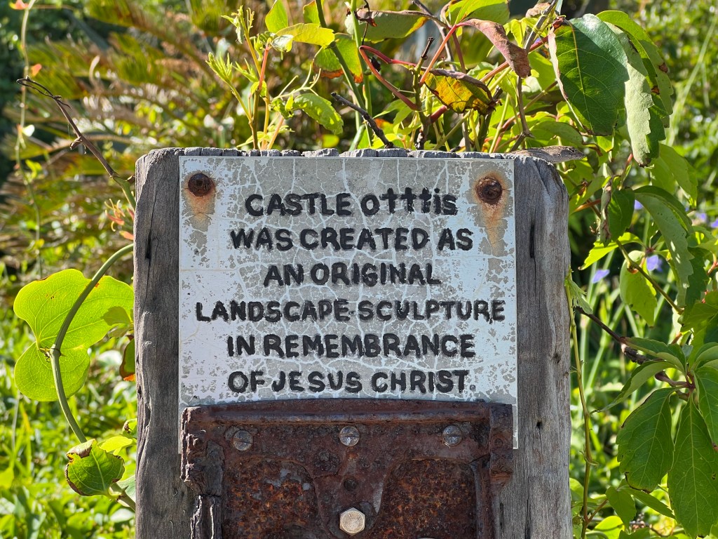
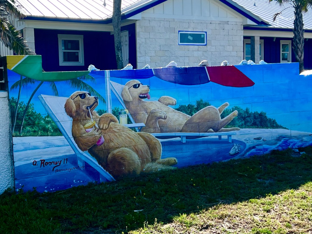
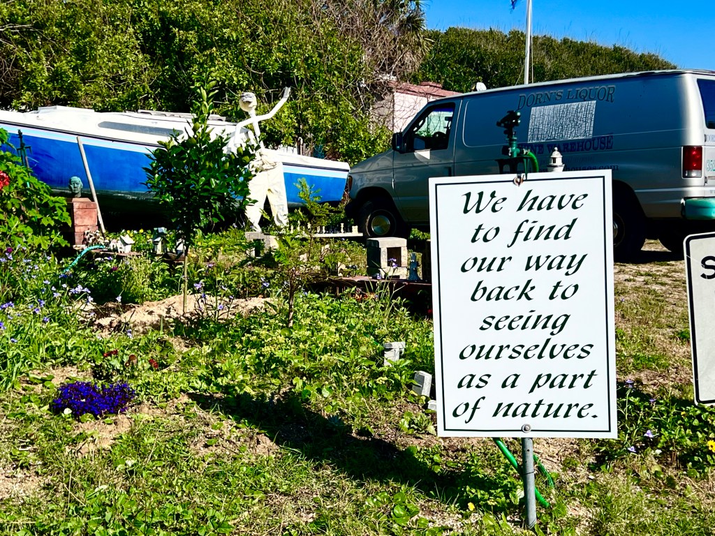
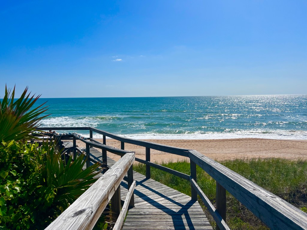
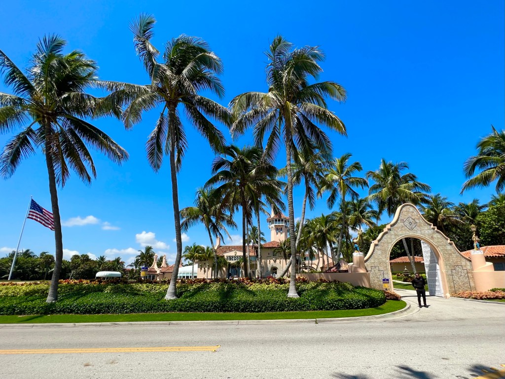
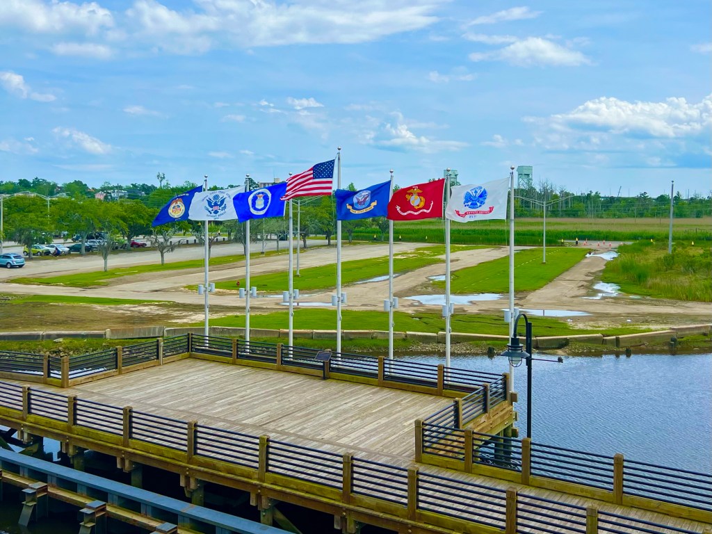
And then it was time to take a walk along the waterfront to get some steps in.
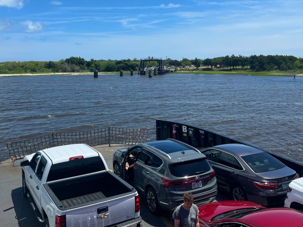
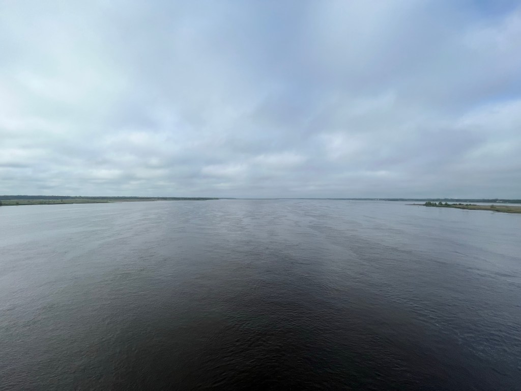
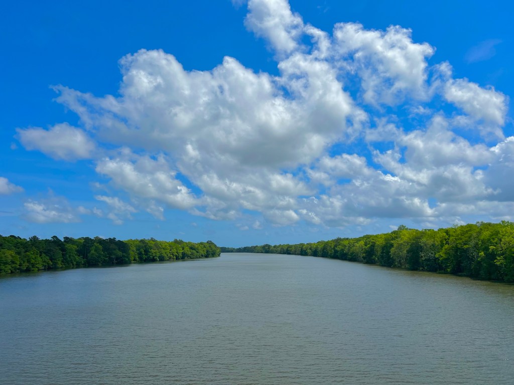
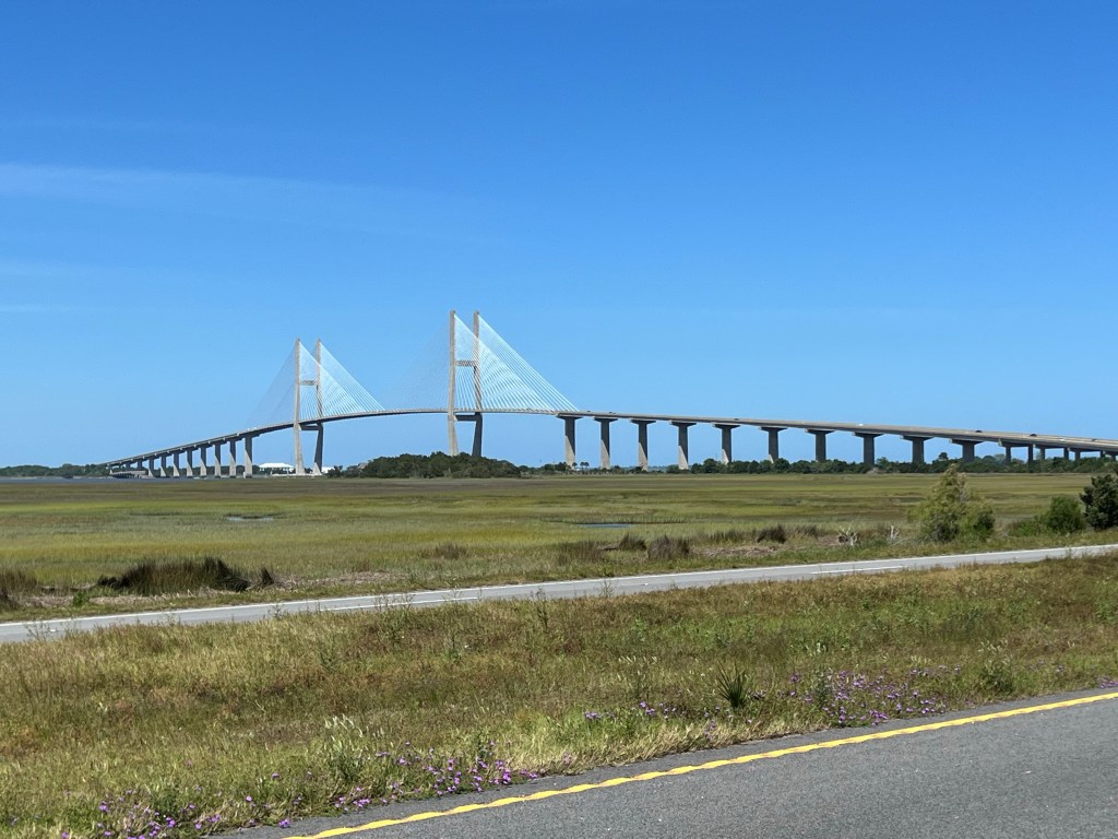
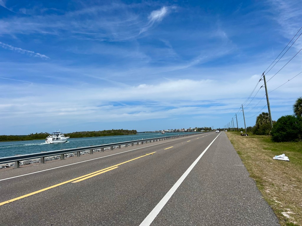
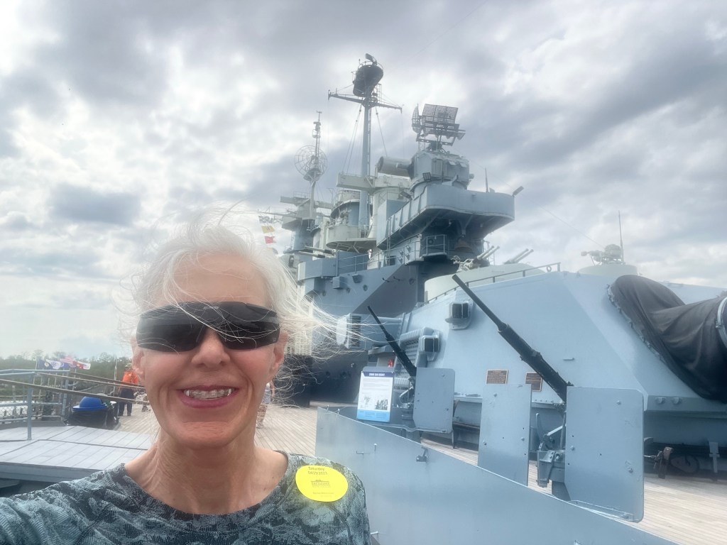
It was a beautiful clear day, so I inquired to see if there was a shuttle to take me to see the USS North Carolina, which is open for tours on the other side of the Cape Fear River, which is, as you might guess, a very wide river, like the other rivers I’ve posted photos of.

There was a water taxi to take me across the river, and it was ready to depart, so I hopped on, and there went most of my day.

In its day, the USS North Carolina was the first battleship in a new class of 35,000 ton fast ships. It had 9 decks, and I climbed up and down steep stairs to get to each and every one of them and wove in and through narrow doorways, passages and rooms to see just about every facility, equipment, armament, electronic device, and capability of that battleship. It was commissioned in 1941, and considering how many years ago that was, the electronics, communication, navigation, mechanical, weapons and other systems were surprisingly complex.

And that ship had some BIG guns. The nine 16 inch guns could be fired accurately at targets up to 23 miles away, and that was just one of at least 5 different types of weapons the ship sported.


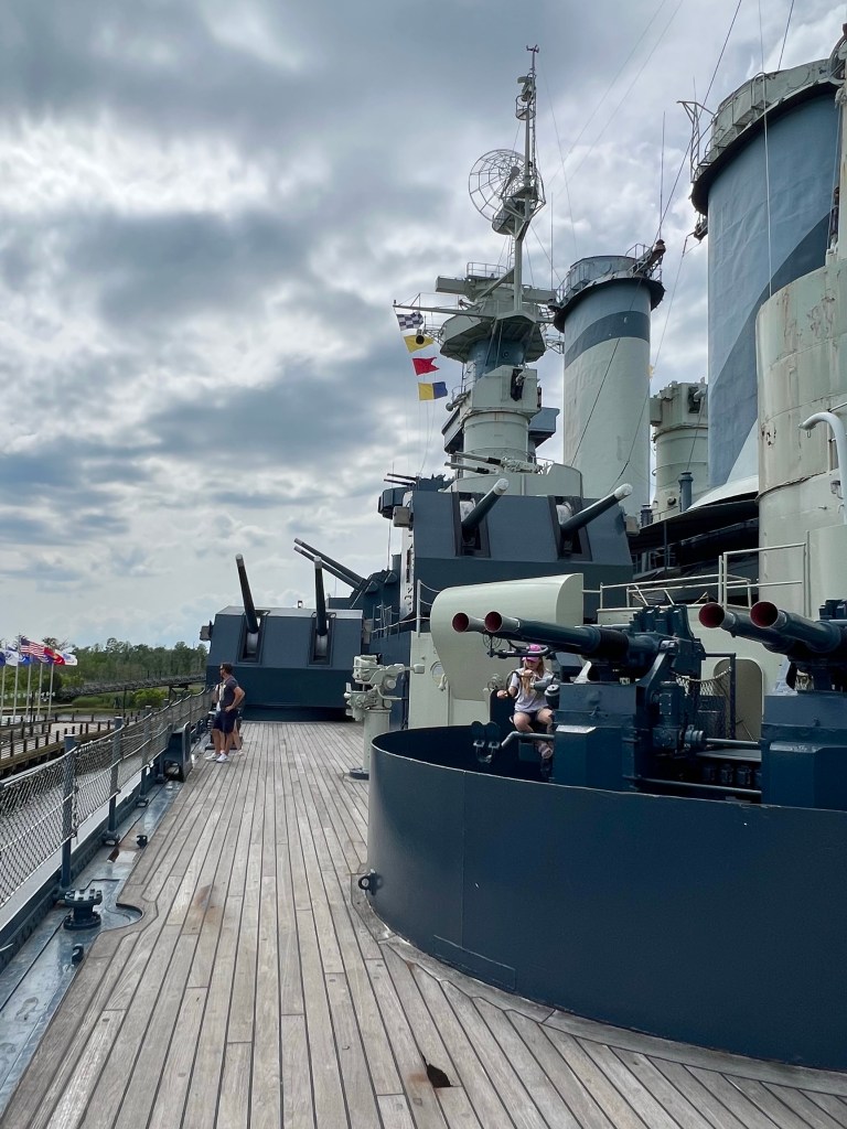
It also catapulted two Kingfishers, which were airplanes used to patrol for enemy submarines, rescue airmen, deliver messages and make mail runs,

I enjoyed reading the stories of the battleship’s former sailors as they reflected on everything from the mess, their leaders, censorship of their mail, the infirmary and dentist, the “heads”, and their jobs and work conditions to the torpedo attack and friendly fire incidents that occurred on the battleship.
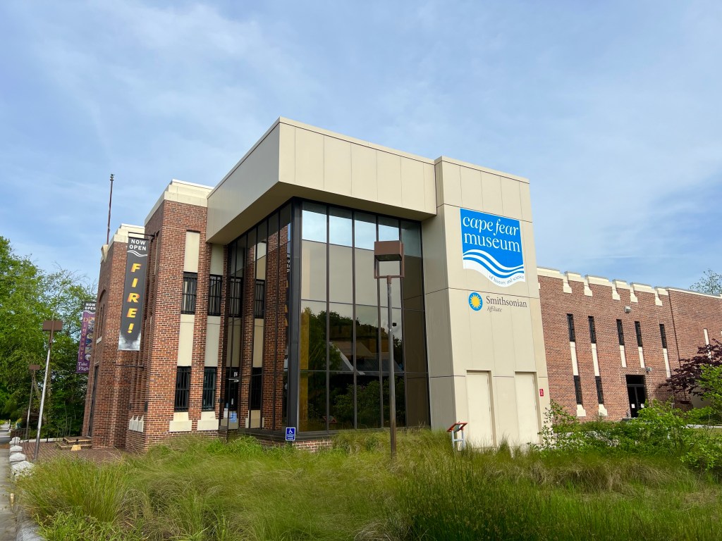
After almost 4 hours touring the battleship, I headed to the Cape Fear Museum, which happens to be a Smithsonian Affiliate museum. I arrived there just 20 minutes before the museum closed, so they let me in for free. The exhibits were top notch. I skipped the dinosaurs, natural history, fire and other areas to spend my brief time there learning the history of the people who lived on Cape Fear. It’s fascinating and sad, especially for the 50% of the population back in 1898 who were African American. Many of them were middle class, politically involved and highly educated people, and they were basically run out of town and/or killed by white supremicists in what is known as the Wilmington Massacre. All the rights the had been given after the Civil War were taken away, even their right to vote. That is just wrong in every way and barbaric.
So that is how my day off went, and now I am about to turn in. Tomorrow’s rain has already begun. I hope the clouds get rained out before I wake up in the morning.