Miles: 73.24 Today / Total 2103.34
Elevation Gain: 1600 ft. Today / 48,304 ft. Total
Today got off to a rough start. After I rode down to the post office to drop off a birthday card for my granddaughter, I fired up my Garmin, and the only numbers coming up on the screen were heart rate, calories and time. Cycling information? Nada. I tried all kinds of things to bring it back to life, but nothing would work, including calling Garmin’s technical support line—later when it was open for business. They’ll send me a new Garmin for $150, but they don’t have the address for the one and only church that would be able to accept it up ahead.

This may not sound like a problem to you, but being able to navigate is way up my list of things that are important on a trip like this. My options were:
- Follow the paper maps I bought from Adventure Cycling, which is how I navigated on the Souther Tier. Sadly, these maps haven’t been updated since 2017, and road names and routings have changed a lot since then. I would be pulling my hair our all day every day, if I had to rely on them.
- Use Google Maps. The problem with that is that I am traveling with a group of people on an established route with set rest stops and destinations that might not be on the Google Maps route.
- Follow one of the other riders every where they went, which would mean no stopping to check out sights or take photos, because all the guys are just focused on getting to the destination at hand as quickly as possible.
- Download the Adventure Cycling Bike Route Navigator App and buy the maps for where I will be riding for the rest of the trip.
Option 4 was really the only choice for me, so while the guys were all riding down the route, I was downloading an app I am completely unfamiliar with, buying maps and trying to figure out how to use them. To call this app navigation is a stretch. It puts a pink line that is the route in front of you, and you are a little blue dot that moves along the pink line, if you are on the route. If you go off route, your little blue dot is no longer on the pink line, and if you don’t keep your eye on the little pink line, you will definitely go off route. There are no prompts for turns, of which there are many, and there are no distances—just a pink line and your personal blue dot. I was able to muddle my way through the app well enough to the first rest stop, where Jade gave me a few pointer. Now I could at least survive navigation-wise, so I pushed on down the route.
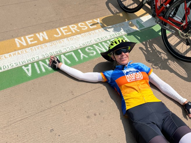
I caught up with John and Butch and rode with them for a good part of the day, starting with when we crossed the Delaware River on a big long bridge that you have to walk your bike across. The center of the river is the border between Pennsylvania and New Jersey, so we entered New Jersey on the bridge without an official welcome sign. Well the paint on the pedestrian path is official, so I take that back.


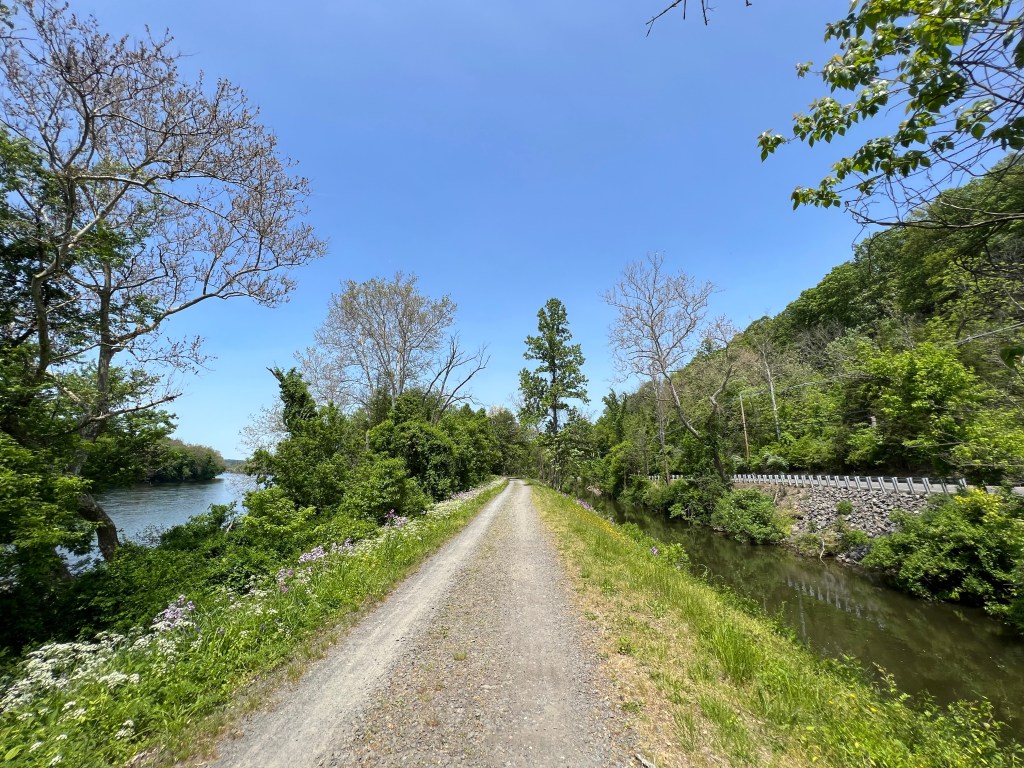
Once past the bridge, we found the D&R Canal Path, a rail trail along the canal that connects the Delaware and Raritan Rivers. Cycling that path was pure heaven, with nice gentle grades and beautiful smooth cycling surfaces that lasted about 20 miles.


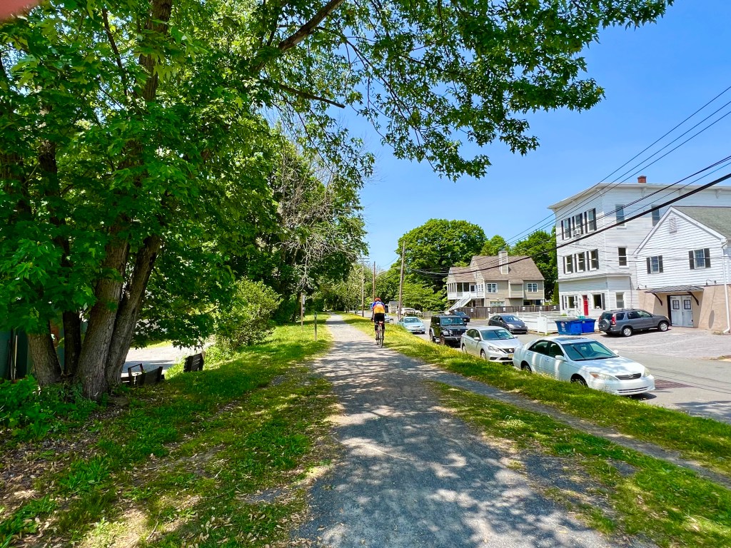

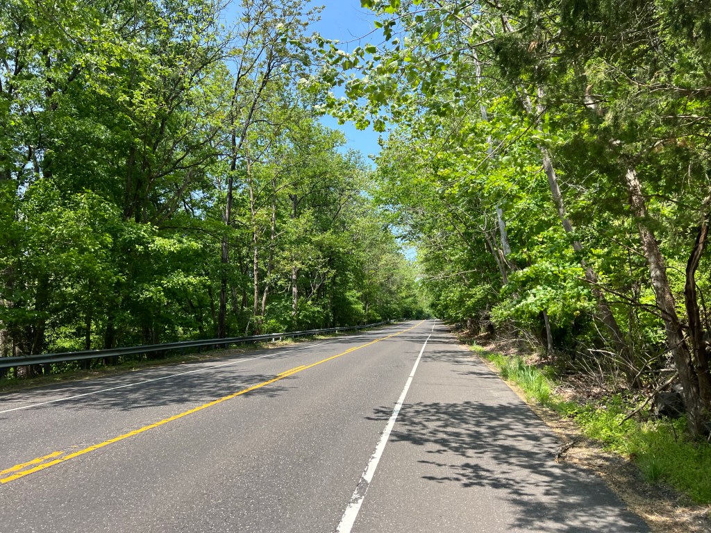
Sadly, that all ended when we hit Milford, and the rail trail moved to the Pennsylvania side of the river, but our route didn’t. Now I was riding on hilly terrain next to the river, so the roads had to meander up and down and around and over the hills, to make having a road even possible. I was huffing and puffing and wishing I had crossed over to the rail trail on the other side of the river, but I had no idea if it would get me back to New Jersey when my route changed directions.
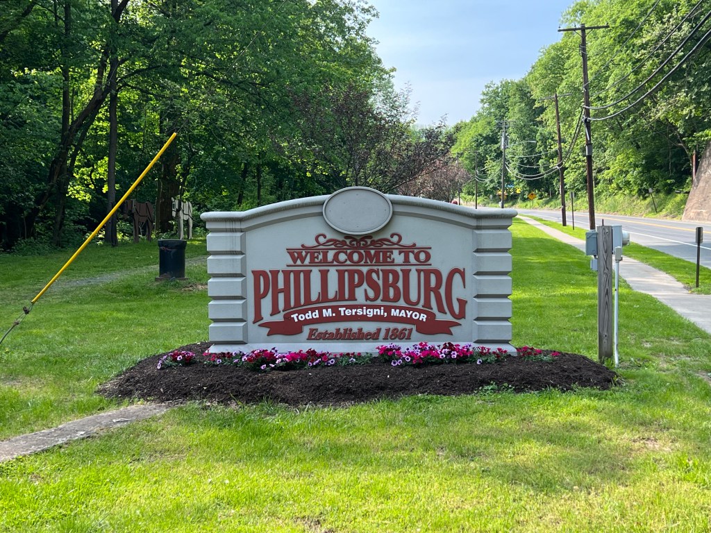
When we arrived Phillipsburg, I was exhausted, but the climbing wasn’t over. Alliance Church, which hosted us, was at the top of a very steep hill. Grrrr. Way to end the day.
Note: Now that I don’t have a working cyclometer, I don’t have a way to track my ride or capture the numbers I love to see as I ride along and at the end of the day. This is what life was like back in the old days, before we had all the data and technology I love. I will not assimilate, trust me.
Here is some technology I do have. Feel free to use it.
Thanks for sticking with me and following my ride.

That’s awful you have no influencer to make you feel proud of yourself. This is awful now you have to make more stops to check maps These aren’t the stop you want either. I am completely sad for this update. I think I would swallow big and order a new one ad fast ad zI could
LikeLiked by 1 person
Have no fear! It is working!!!
I tried to do a restore to factory settings, but it wouldn’t let me. So I just let the battery run out, recharged it, then tried it again, and it works. Just has no ability to download the ride info for my blog. Garmin will send me a new one when I get home.
LikeLike
Eileen,
I am totally relieved to here this great news. Garmin is giving you a new one too! I believe your ride will be more pleasurable now that you have this positive news of reassuranceof the right directions. I pray for the safety of everyone’s still riding daily. I want you all to achieve this goal, but without giving up anything major in your lives in the process. This is a humongous goal for all. I am here cheering for you daily, so please don’t feel alone.
Your friend,
JoBeth DeVore
LikeLike