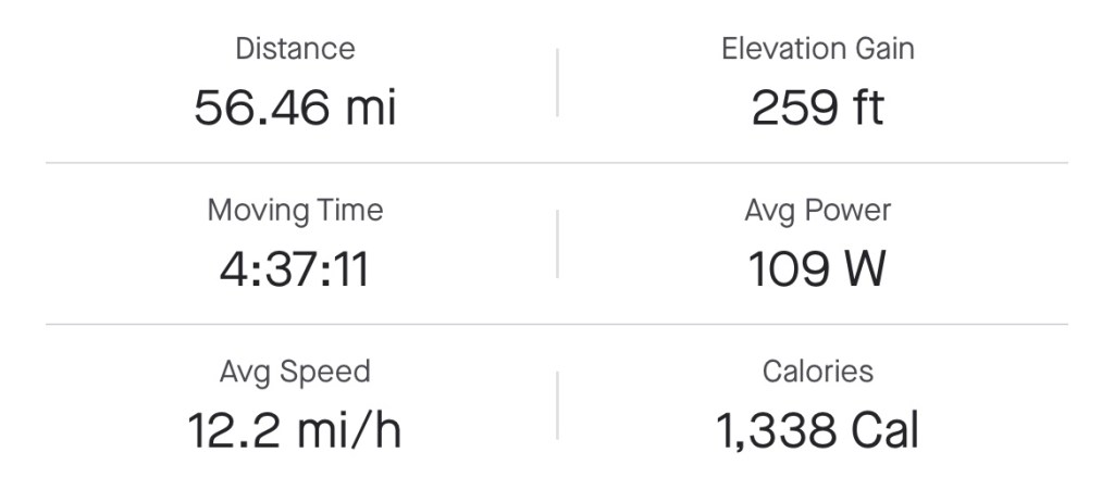
Miles: 56.46 Today / 1426.26 Total
Elevation Gain: 259 ft. Today / 14,728 ft. Total
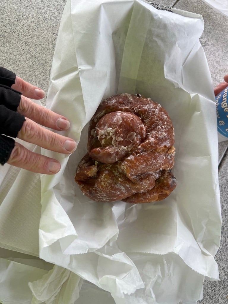
The temperature was 52 degrees, this morning, with a forecasted high of 62, so I abandoned the idea of swimming in the ocean, today. On to plan B, which started with a quick stop to Orange Blossom Bakery & Cafe for a renowned Apple Ugly pastry. It was like an apple fritter, except that it wasn’t greasy and it was as tall as it was wide. The thing was like a huge knot of light pastry, apple filling and cinnamon with a scrumptious glaze. I was going to try eating just half of it, but got carried away. I saved about 1/3 for later, but never got to it.
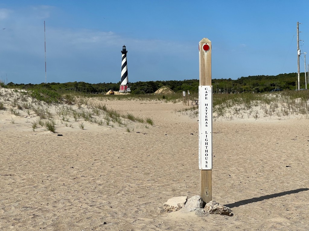
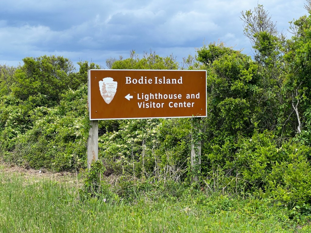
Just a few miles outside of Buxton was my first stop—the Cape Hatteras Lighthouse, which at 208 ft tall, is the tallest lighthouse in North and South America. Storms, wind and water cause the ocean coastline of barrier islands to naturally migrate westward, and in1999, the coast had migrated almost 1500 feet from where it was when the lighthouse was originally built to within 60 ft of the lighthouse, putting the structure at risk. The National Park obtained funding to move the lighthouse and all of its adjacent structures 2900 to the southwest, which was a huge undertaking. The process they used to move it is fascinating, but too detailed to write about here. Ask me about it, if you want to know all the details, and I will tell you all about it, complete with visual aids. I met a local woman on the beach who was there when they moved the lighthouse, and she said it was an amazing thing to watch. The move was so carefully engineered, that there is no way it could fail, which is hard to imagine, considering how tall and heavy the structure is.


After spending a couple of hours checking out the lighthouse museum, I rode over to the old lighthouse location and beach, which happened to be pretty nice, then hit the road.
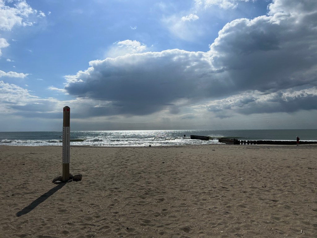
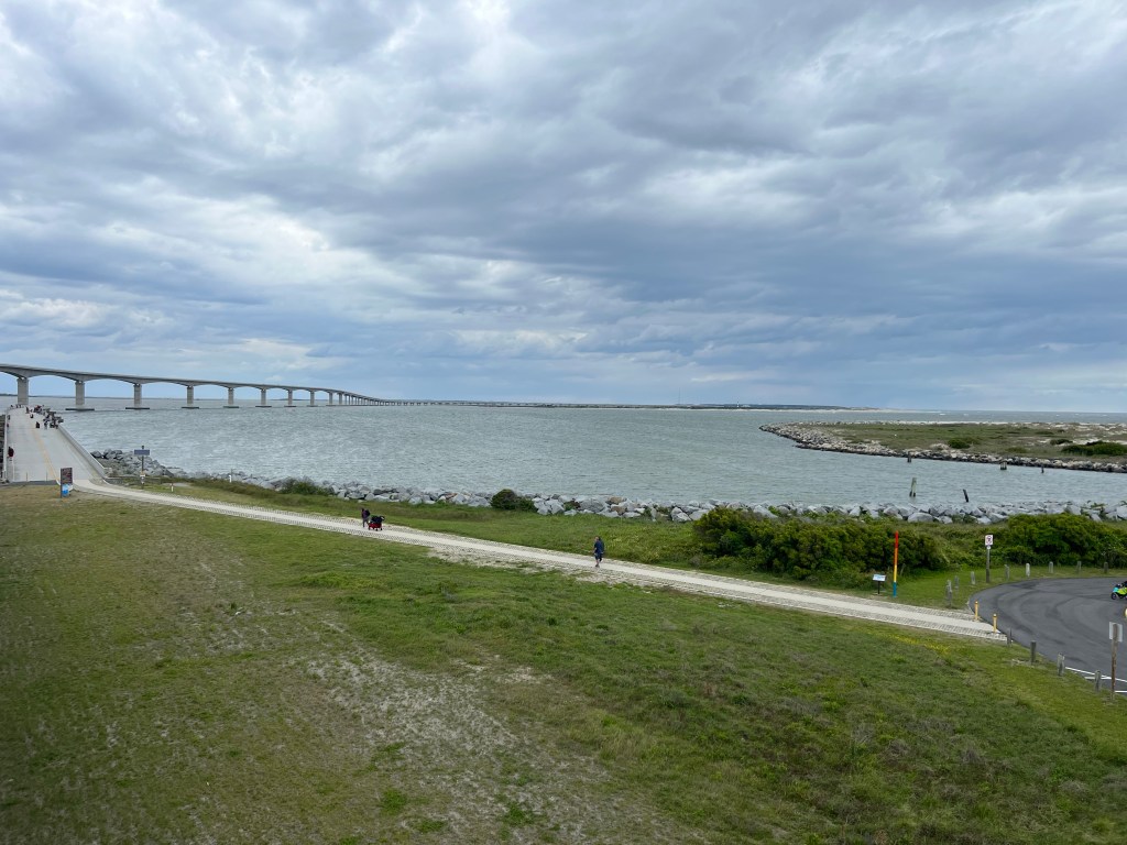
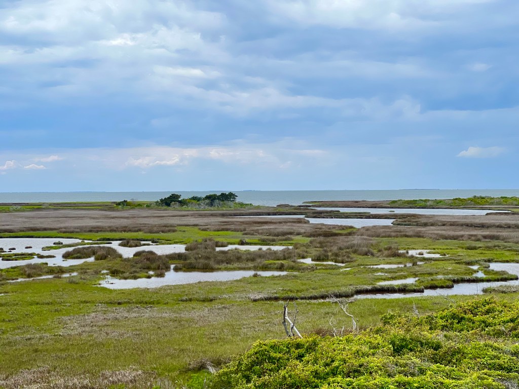
I rode over several really long bridges today, some connecting islands and some just bypassing parts of islands that are so narrow, you couldn’t build a road there. And as I rode along, the headwind was picking up and rain clouds rolling in.
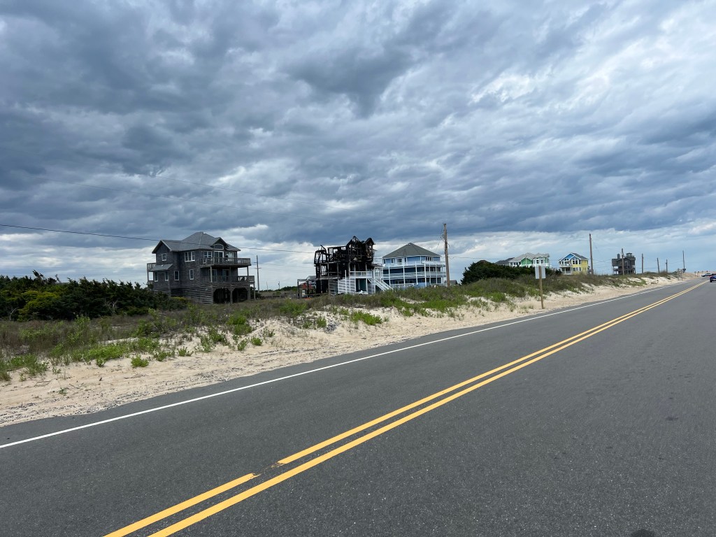
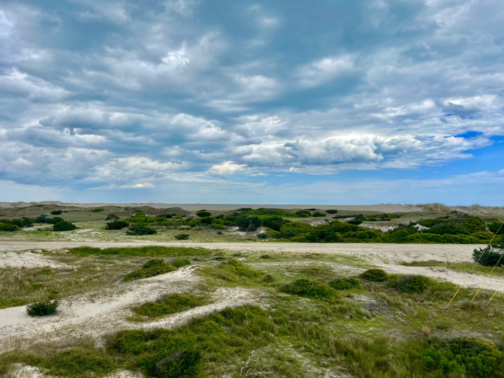
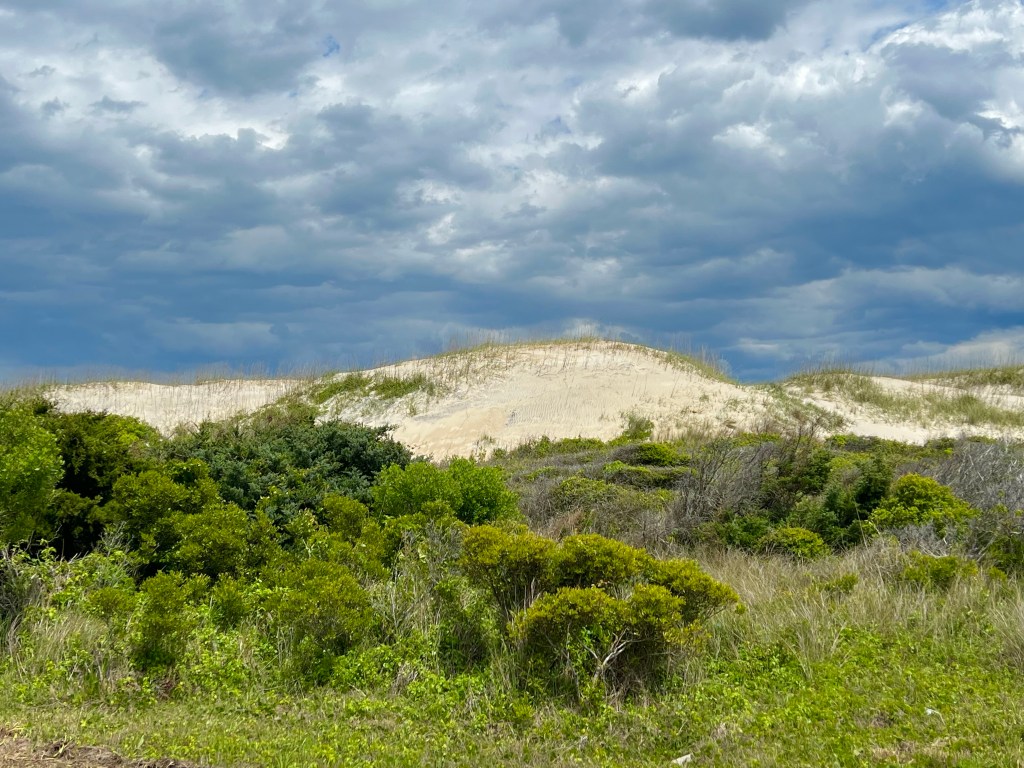
The scenery was varied. Beachy vacation homes, dunes, beaches and just lush green grass and plants.

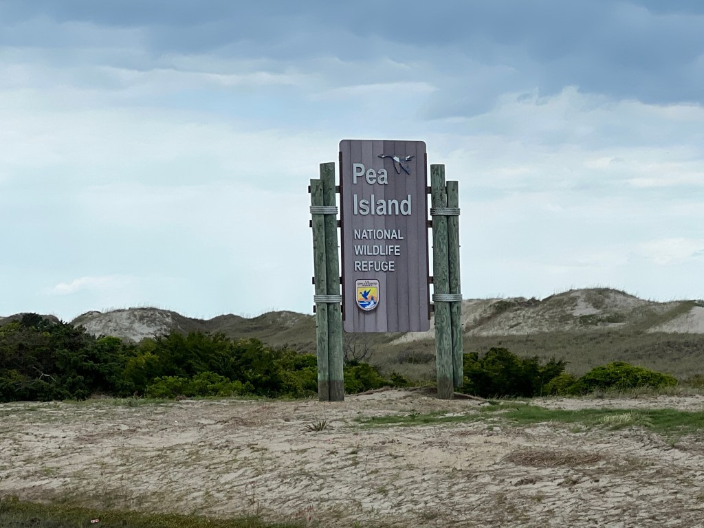
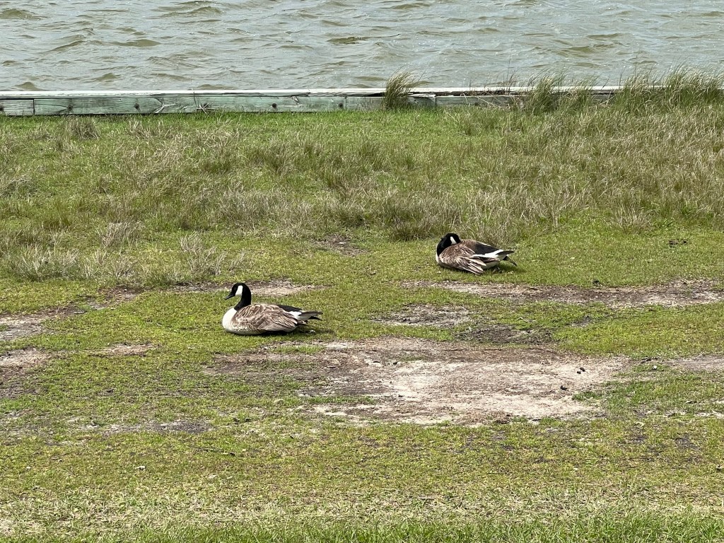
On Pea Island, I stopped at the Pea Island National Wildlife Refuge and spent over an hour in the visitors center and walking out a boardwalk to a platform from which you can view wildlife—mostly birds. I probably saw 12 birds, ducks and geese in that time, which was a little disappointing. Maybe they’ve all migrated, or maybe they were all taking a nap. Who knows. They just weren’t out where I could see them.
Once I left the refuge, the headwind turned vicious and it started to sprinkle. Oh, and I received a text message informing me that our group was being treated to dinner at Mulligan’s by an alumni, and dinner was in 1.75 hours. Not this again! Another last minute change that I had not anticipated. I had 19 miles left to ride, which would normally be doable in that timeframe, but not today. The wind was not cooperating, and instead of going 16 mph, the gusting headwind had me moving at about 8 mph, and that was with me putting 100% of my strength into it.
About 5 miles into this insane push, I crossed the 2.8 mile long Mark Gasnight bridge from Hatteras to Bodie Island. Riding on any bridge with that kind of wind is truly scarey, and this was no exception.
Another 4 miles down the road, I started seeing the Bodie Island Lighthouse. Dang it! I wasn’t going to have time to ride the 2 mile round trip route to get a closer look at it—just had to get my bet shot from the road I was traveling on. And that’s when it started sprinkling, which had not been forecasted. Who came up with this script?

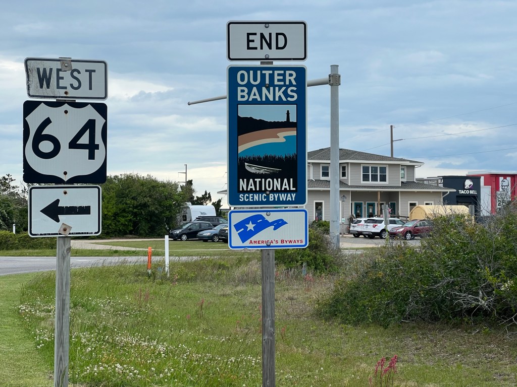
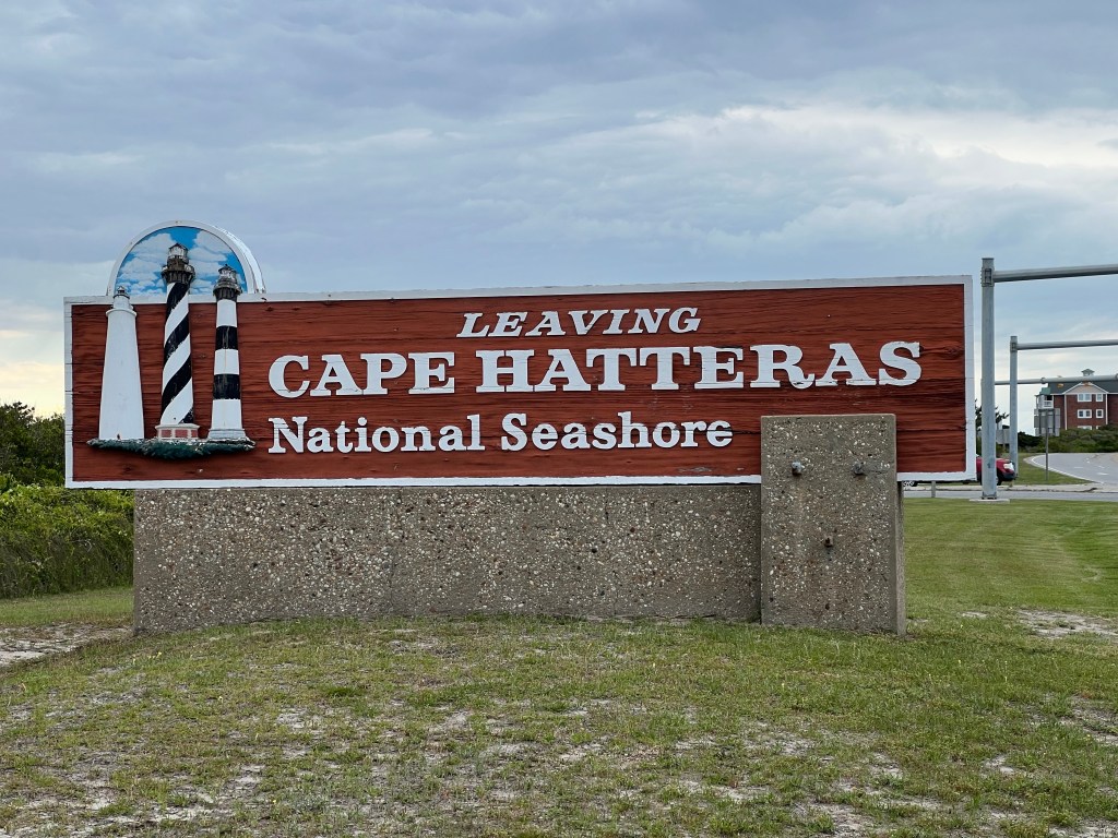
Before I arrived Nags Head, Outer Banks National Scenic Byway ended as did the Cape Hatteras National Seashore.

I ended up having to send a message to the route leaders to tell them I would be late for dinner. While I rode, I came up with my strategy for transforming from a sweaty, sunscreen slathered mess to a presentable human in street clothes. When I arrived the Nags Head Church, one of the guys who arrived shortly before me was just heading in to take a shower, so I had a few minutes to change in the trailer, wash my face, clip up my hair and put on some makeup.
Dinner was heavenly. As I looked around the dinner table, every one who had been cycling was wind burned, and it turns out that the entire team was exhausted from fighting the super gusty headwind that picked up after the wildlife refuge.
If you are enjoying reading this blog, please don’t forget that I am riding to raise money for MS research and treatment. Any donation you can make to the cause is greatly appreciated!