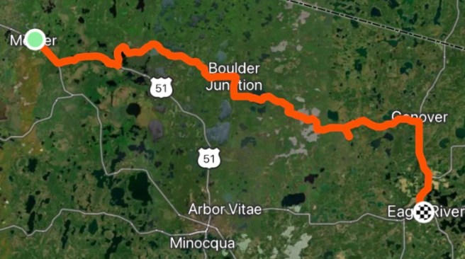
63.84 Miles / 2295.06 Total Miles
1332 Ft. Elevation Gain / 83,000 Ft. Total Elevation Gain
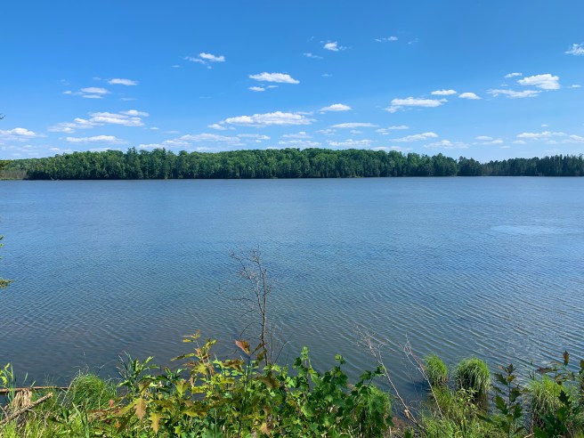
After an uneventful night, last night (no thunderstorms), we got on the road early, today. Our first stop of the day was going to be breakfast with John Nelson, in Manitowish Waters. I messaged ahead to let him know what Google Maps was saying our ETA was, then called when we got closer. We were meeting up at a place called Dixie’s, across the street from Dietz’s gas station. We jumped on a rail trail in Mercer, and were teleported forward on luxury asphalt. I felt the pressure to be focused and make good time, but there were all these cool things to snap photos of catching my eye.
We’ve seen several of these Soo Line rail cars, starting in Minnesota. Mercer had one next to their former train depot.

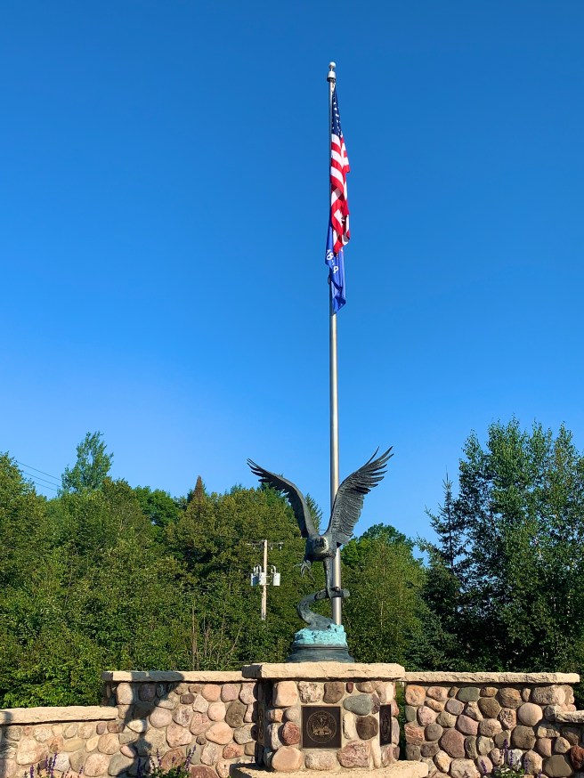
Had to stop at Mercer’s Veterans Memorial. Loved the Eagle sculpture.

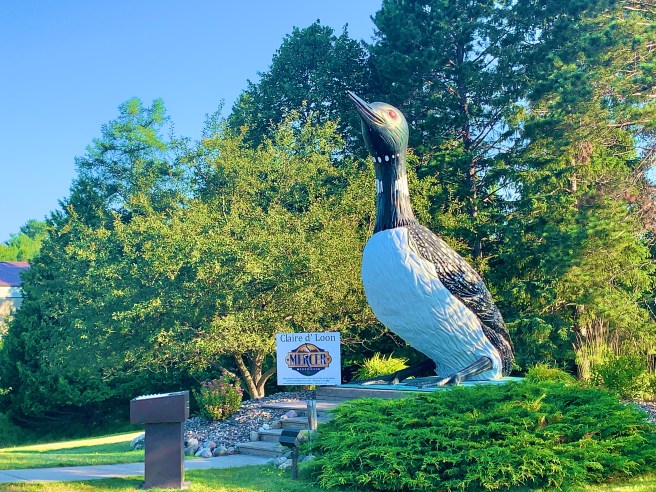
Then there was the gigantic Loon, Claire d’Loon, with a display that played all of her various calls and sounds.
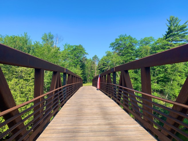
The rail trail is very high end. This is one of the many bridges we crossed.
And here’s Ed, showing his rail trail etiquette.

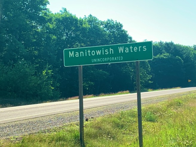
Pretty quickly, we were in Manitowish Waters. We passed our original meeting place, the Pea Patch Motel, and were wondering if we followed the Aurora Borealis sign, could we actually see the Aurora Borealis.

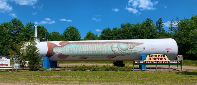
The Memorial Park, in Manitowish Waters, had a huge fish sculpture, that was really cool. This place was so well groomed, with gorgeous flowers planted everywhere, and lots of meticulously mowed grass, even along the bike path.
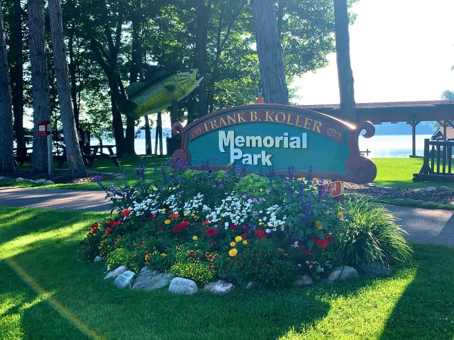

Starvation was setting in, when John arrived. I ordered the breakfast casserole and a peach smoothie, and they hit the spot. John entertained us with the things that go on in town. The place is so meticulous, because the owner of ULine, a large commercial supply vendor, lives there and donates heavily to her town.
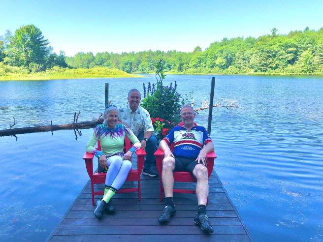
We struck a pose, on the dock, with John, but had no photographer to take a photo. And at that very moment–like a scene from a movie–a beautiful, blonde bombshell came traipsing down the stairway to the dock. It was Johns wife, Jill, coming to save the day. Ed and I had been preparing to leave, but now we were sitting back down to hear about Jill’s water skiing show, last night, and get caught up on other important things. I’m kind of old to think about learning the kinds of things she does on skis, like being on the top row of a large pyramid formation, but she says that if I were to come back next summer, they would teach me how to do some tricks. Hmmm. Great idea! I’ll put that on my list of things to consider.
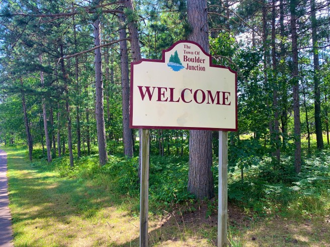
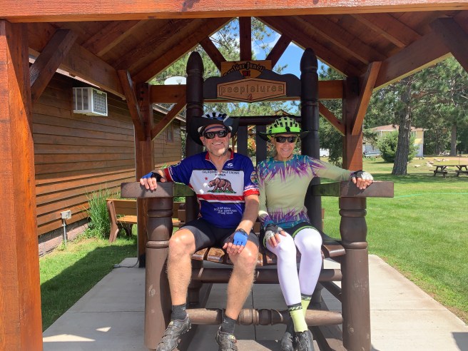
When we left Dixie’s, our bike path travel continued, till we got to our next town, Boulder Junction.

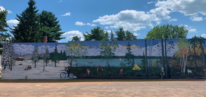
Once there, we toured the downtown area, checked out the Veterans Memorial and the town mural, then looked for and found unique sights.

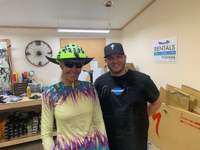
My bike had been making some strange rhythmic sounds for several days, so while Ed sat down for lunch, I headed down to see the bike mechanic at Coontail Bike Rentals–the first bike repair opportunity I’d had, since Fargo. Thankfully, they had a super knowledgeable Specialized certified mechanic on duty. He trued my real wheel, adjusted my brakes, checked my gearing and re installed my beast of a kickstand (I had removed it, because my wheel was so out of true, that I though it was rubbing against it.) Thank you Coontail for having such a sharp guy working for you!
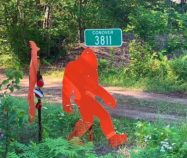
Ed finished up with his lunch at about the same time the mechanic finished up with my bike, so we got back on the road. During our little break, both of us had been getting an earful about how the bridge was out just before Conover, and the detour was REALLY long. Ed had found a shorter alternate route on Google Maps, that bypassed the bridge ; one gal had suggested another alternate to avoid the bridge and the traffic we would encounter on the road from Conover to Eagle River; and one gentleman mentioned a snowmobile/ATV bridge we could take, that runs parallel to the bridge, but just a little south of it. What would you do with those 3 choices? I went for Ed’s Google Maps option.
We pushed ahead, and that Google Maps option was looking good for the first mile. It was a nice road, and all downhill, till we ran out of pavement and were looking at who knows how many miles of a dirt/gravel road. We turned back around and peddled back up that hill, deciding to just follow the ACA route, but take the snowmobile bridge, if we couldn’t find a way to cross the bridge.
As we rode up on the bridge, I told Ed that maybe we could just find a way to cross the bridge, but when we got closer, there was no bridge to cross. The entire span had been torn down. It took quite a bit of grunting and groaning to get our bikes up a steep embankment, then through the dirt and gravel on the road and ramp to the snowmobile bridge. Once we were over it, we were home free, with no detour required.

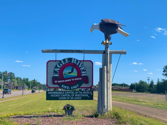
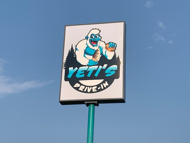
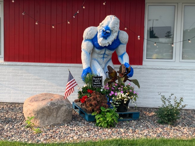
I didn’t see a Veterans Memorial in Eagle River, but there was quite a bit of Yeti action. Wait. A couple of those Yetis look like the ape from the Tarzan Disney movie