65.53 Miles / 991.16 Total Miles
2717 Ft. Elevation Gain / 48,185 Ft. Total Elevation Gain
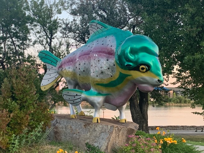
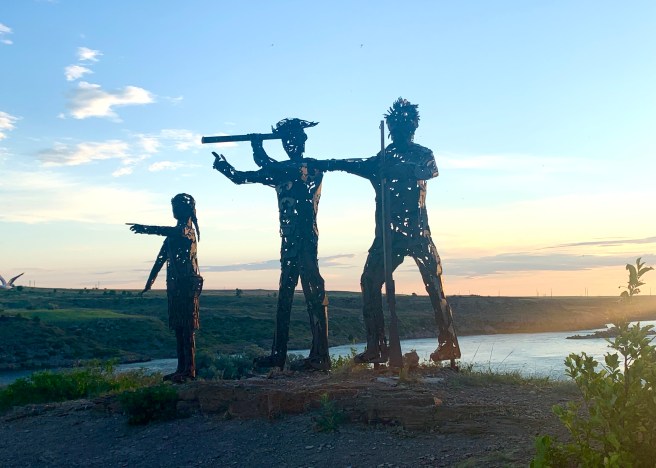
With todays heat and wind predictions worrying us, we awoke at 4 AM to get out the door by 5:30. We were moving down the road by 5:35 in temperatures that were already 75 degrees. And within minutes of leaving our hotel, we were at Riverside Park. After locating the Rivers Edge Trail, a multi-use path that follows the Missouri River for 55 miles, we cycled on the edge of the river for a few miles. The trail led us to several public art installations, including the Fishalo, below. A couple of miles further, we came across the Black Eagle Dam and Falls and then a modern iron statue of Sakajawea with Lewis and Clark. We were seeing so many cool things in so little time, that we hated getting off the trail and onto real roads, but we had 65 miles and a bit of climbing to pound down today. So we headed south along the east side of Great Falls, till we came to US Highway 87, which we’ll be traveling on for the next few days . Before turning onto that beast of a road, we made a quick pit stop at a brand new Walmart Supercenter, to pick up a few items.


On Highway 87, we were now travelling with the giants–large semis pulling two trailers, cars and semis racing to get who knows where, and a lot of vacationers in large RVs and trucks pulling travel trailers. And there was a rumble strip between the shoulder and the traffic lanes, with no breaks for crossing over it, when you need to. To be fair, there were some positives about the highway too. The pavement was good throughout the day, there were nice sized shoulders the majority of the time, and those shoulders were relatively free of litter and hazards to our tires.
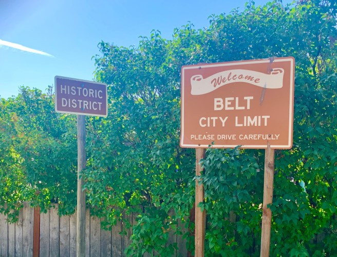
As we peddled down the route, we were chugging along, like someone forgot to put air in our tires. What the heck! The road was a consistent 1-2% grade, which was part of the problem, but there was also a slight headwind–something our weather apps had not predicted. The combination was a killer for us. We worried that if the headwind turned worse, this was going to be one hellacious day for us. Thirteen miles into our ride, the route sent us off the highway, down a super steep and winding downhill, and into a little town called Belt. That downhill had me worried, due to the what goes down must come up principle, but I tried not to get ahead of myself and to have faith that Adventure Cycling would not route us downhill a few hundred feet, only to force us to climb back up again.
In Belt, we were ready for second breakfast, but all the cars in town were parked in front of the Senior Center. Hmm. Maybe they were eating breakfast there, and we could join in. I stepped in to see if it could be true, but no joy. There was no breakfast to be had–just coffee and cookies. The folks at the Senior Center kindly pointed us in the direction of the one and only breakfast spot in town–Jack’s Beans, the coffee shop across the street, with no cars out front, which usually is not a good sign. But sometimes looks are deceiving, and this was one of those times. My smoothie and breakfast burrito were to die for.
Back on the bikes, we were pleasantly surprised that it only took us a few miles and very little climbing to reconnect with Highway 87. After zig zagging through a valley for a few slow miles, we came up over a hill, and a tailwind magically appeared.. And we’re not talking just any tailwind. This was a super healthy blast from behind, that motored us for 30 miles, including up some hills with grades of 5 and 6%. This was our first full on headwind since leaving Bellingham, and we loved every minute of it!
A note about today’s terrain. We transitioned from wheat, canola and hay crops to just hay and cattle. Just like that.

Montana loves its history. These historic markers have popped up every day, as we move through the state. We stop for every one of them. Don’t want to miss out on anything.

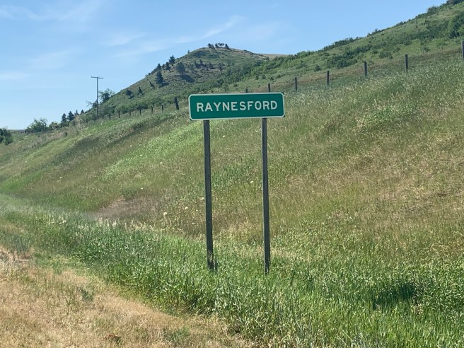
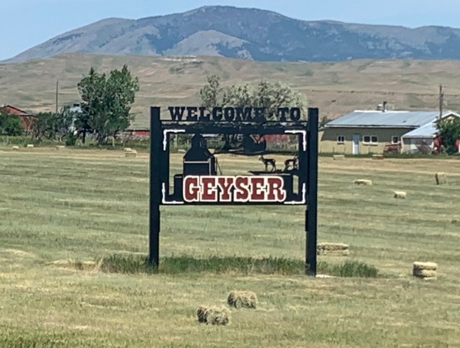
Even with the wind pushing us down the road, as the temperatures climbed, we were getting hot, and we needed to get a cold drink and cool off. The next town, Raynesford, was just homes and silos, so we pushed on to Geyser. Our maps showed that even though it only has a population of 87, it has an eating establishment.
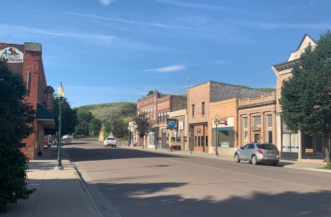
As we rode down the miniature main drag, though, the place was like a ghost town. No sign of anyone anywhere–no cars, no people–nada. Ed walked up onto the covered porch of the Cabin Creek Bar, and there was a note on the whiteboard saying it was open, so he tried the door, and…..it was! Inside, there was no one, until a young gal emerged from a back room. She brought us some soft drinks, which we quickly gulped down. We got our mojos back and were ready to hit the road for our final stretch.
Seven miles out from the Cabin Creek Bar, we passed a couple of college aged, fully loaded cyclists, who were headed westward on their tour from New York to Seattle. Our amazing tailwind was their headwind, and we felt really REALLY sorry for them. They had 7 long steamy miles of steep rolling hills and 10-15 mile per hour winds to deal with, before they set their tents up behind the bar and camped without access to a shower or sink.
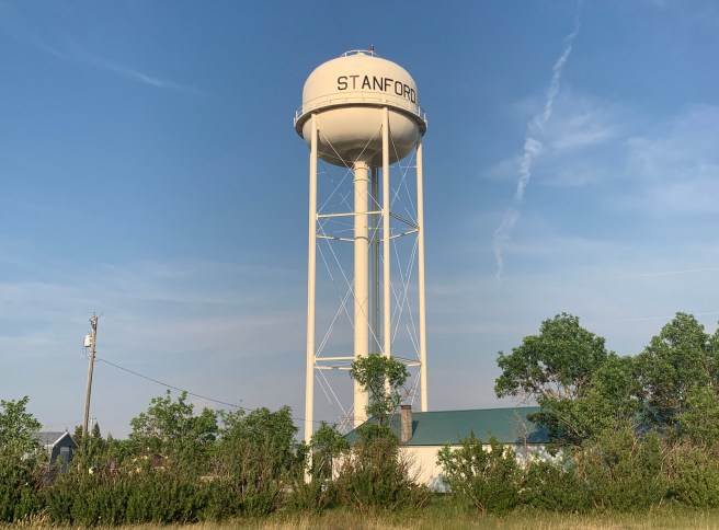
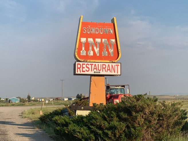
The wind pushed us the last 15 miles to ourdestination for the night–the Sundown Inn in Stanford. The delightful owner, Joy, let us check in early and hooked us up with a delicious dinner at the Watering Hole Saloon. Her little motel looked a bit like a hole in the wall, but inside, it was modern, immaculate, and had all the right stuff for travellers like us.

Before turning in, we negotiated our start time for tomorrow, a 78 mile day with almost 2000 feet of climbing and a high heat weather forecast. Wake up at 3:30 for a 5 AM start. Grrrr!


