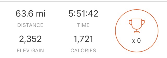
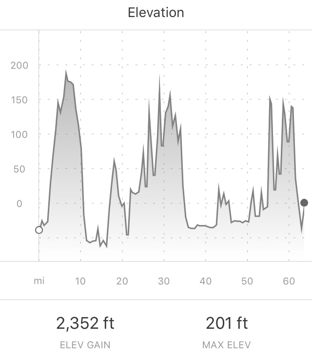
63.6 Miles
2352 ft of Climbing
Rough day. I was wasted and couldn’t get out of bed this morning. And it was cold outside. But my schedule through Astoria, Oregon is pretty inflexible. So I drug myself out of the sack, packed up my gear and hit the road…..around noon.
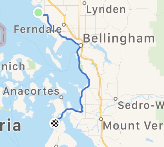
Between Birch Bay and Bellingham, I passed through miles of small farms, Lake Ferrell State Game Refuge (no shots fired, thankfully), and the Lummi Indian Reservation.

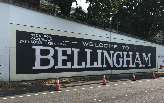
Once through Bellingham, what I though was going to be a leisurely ride along the coast surprised me. I ended up climbing up and down on a Chuckanaut Road, which was built in the late 1800s so commerce could move between Bellingham and the southern cities via land. The road is cut into the side of steep mountains that drop off into the ocean, and must have been a delight (heavy sarcasm) to build. I read some info on the construction, and there was no mention of the number of men and animals who died working on the project, but surely there were many. Now, years later, the trees along the road are so tall and dense that you can barely get glimpses of the ocean, which is way, way, way down below. Along the road is Larrabee State Park, which looks like a popular hiking destination. I observed switchbacks and super steep stairways heading straight down the mountain. As much as I like hiking, my legs were burning from all the climbing, so I took a rain check on that.


Once I got out of the mountains, it was back to rural farmlands and little towns. Passing through Bow, there was a sweets shop that caught my eye. I was craving something…anything…sweet. Coffee, no ice cream and little $6 cookies were all they offered. No joy.
Coming out of Bow, the route took me onto the Padilla Bay Shore Trail, a flood control project that is also a nice, little used, cinder walking and cycling path.

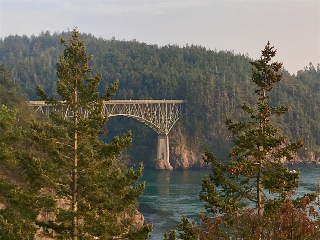
I checked the time, and the day was getting away from me. Once I got back onto pavement, it was a race against the clock to get to a campground for the night. I passed through the edge of Anacortes on my way to Deception Pass. Caught a photo of the bridge, before riding on to the campground, which is at the level of the water. Can’t wait to climb out of here in the morning. I’m betting the grade of the hill out of the campground is 12%.
 I shared a hiker/biker campsite with a young fella named Jack, who is hiking the Pacific Northwest Trail, a 1200 mile trail that stretches from Glacier National Park to Cape Alva in Olympic National Park. I’ll add that to the list of things I might do some day when I’ve finished all the things I want to do.


Tomorrow, I’m looking forward to meeting up with Catherine Shewear, a friend who made life in Saudi Arabia better for all of us who took her up on the tours and excursions she planned. She is currently living in Bremerton, and has offered to pick me up and take me to her place for a night indoors. Thank you Catherine!

Hi Eileen. It sounds like the ride is going well. Challenging yes. But it should be a rewarding life experience. Enjoy the cool Northwest weather while it lasts. See you in San Diego. Charlie
LikeLike
I love the Deception Pass bridge. Ride on!
LikeLike